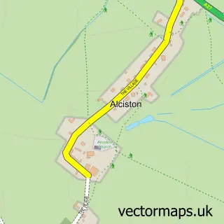
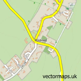
This Firle street map is a detailed vector street map covering a 750m x 750m area. Select a larger area to create and download your own vector street map of Firle.
The 750-metre map sample for Firle covers 90 mapped buildings and approximately 6.6 km of road detail, of which 4 named roads are named. The immediate area includes 1 school and 1 pub. The wider area around Firle features 1 tourism point of interest, 2 food and drink venues and 1 campsite within 2 miles. To create a larger or custom map of Firle, the map builder lets you define your own coverage area and download editable SVG, PDF and PNG files.
Create a larger editable map of Firle
Choose any area you need and generate a high-quality vector map instantly. Perfect for print, planning, design, business and personal use.

This Firle street map in East Sussex is available as downloadable SVG, PDF and PNG map files, or as a printed map for planning, business, display, education, local information and design work. You can also create a larger custom map area using the map selector.
What this Firle map sample shows
Firle lies within Firle Cp parish, part of Ouse Valley & Ringmer ward in the Lewes District local authority area. The postcode geography for this area includes the BN postcode area, the BN8 postcode district and the BN8 6 postcode sector. Residents fall under the Nhs Sussex Integrated Care Board for NHS services.
Local features near Firle
Within 2 milesAmenities and services in and around Firle.
Administrative and postcode information for Firle
Firle lies within Firle Cp parish, part of Ouse Valley & Ringmer ward in the Lewes District local authority area. The postcode geography for this area includes the BN postcode area, the BN8 postcode district and the BN8 6 postcode sector. Residents fall under the Nhs Sussex Integrated Care Board for NHS services.
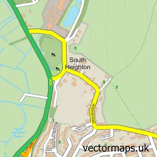
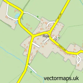
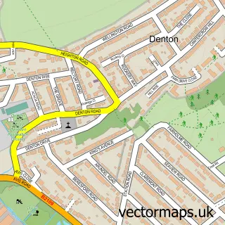
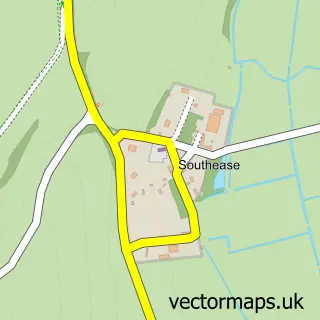
Nearby street map samples around Firle

More street maps in East Sussex
750 metre map area coverage
Boundary, postcode and point of interest information for the 750m x 750m rectangle centred on this sample map.
Boundaries containing map centre
Constituency: Lewes Co Const
County: East Sussex County
District: Lewes District
Icb: NHS Surrey and Sussex ICB
Parish: Firle CP
Police Force: sussex
Postcode District: BN8
Postcode Sector: BN8 6
Ward: Ouse Valley & Ringmer Ward
Nearby boundaries intersecting sample
No additional intersecting boundaries found.
Postcode coverage
POI category counts
Active Life: 2
Church Cathedral: 2
Gift Shop: 2
Advertising Agency: 1
Airport Shuttles: 1
Anglican Church: 1
Brewery: 1
Business Management Services: 1
Business To Business: 1
Cooking School: 1
Sample points of interest
- 2016 Archive Page Firle Place International Horse Trials & Country Fair
- Firle Shooting
- Flip Flop Design
- Lewes Taxis
- St Peter
- Burning Sky Brewery
- Adventure Connections
- Christmas Connections
- Church of St Peter
- Firle Church
- Kitty Witch Bakehouse
- Gravett Electrical
Create a larger editable map of Firle
This sample shows only a 750 metre area. To create a larger map of Firle, use our map builder to choose your own coverage area, add titles and download editable SVG, PDF and PNG files.
Create a custom map of Firle