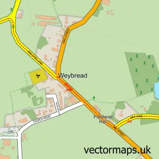
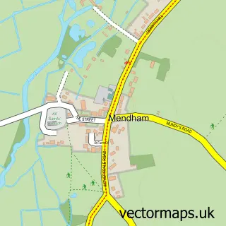
This Fressingfield street map is a detailed vector street map covering a 750m x 750m area. Select a larger area to create and download your own vector street map of Fressingfield.
The 750-metre map sample for Fressingfield covers 248 mapped buildings and approximately 10.8 km of road detail, of which 18 named roads are named. The immediate area includes 1 school, 1 GP surgery within 2 miles, 2 pubs and 1 MOT station within 2 miles. The wider area around Fressingfield features 3 food and drink venues. To create a larger or custom map of Fressingfield, the map builder lets you define your own coverage area and download editable SVG, PDF and PNG files.
Create a larger editable map of Fressingfield
Choose any area you need and generate a high-quality vector map instantly. Perfect for print, planning, design, business and personal use.

This Fressingfield street map in Suffolk is available as downloadable SVG, PDF and PNG map files, or as a printed map for planning, business, display, education, local information and design work. You can also create a larger custom map area using the map selector.
What this Fressingfield map sample shows
Fressingfield lies within Fressingfield Cp parish, part of Fressingfield ward in the Mid Suffolk District local authority area. The postcode geography for this area includes the IP postcode area, the IP21 postcode district and the IP21 5 postcode sector. Residents fall under the Nhs Suffolk And North East Essex Integrated Care Board for NHS services.
Local features near Fressingfield
Within 2 milesAmenities and services in and around Fressingfield.
Administrative and postcode information for Fressingfield
Fressingfield lies within Fressingfield Cp parish, part of Fressingfield ward in the Mid Suffolk District local authority area. The postcode geography for this area includes the IP postcode area, the IP21 postcode district and the IP21 5 postcode sector. Residents fall under the Nhs Suffolk And North East Essex Integrated Care Board for NHS services.
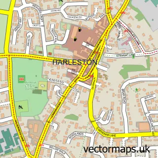
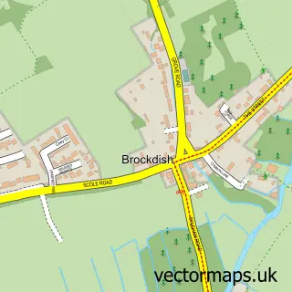
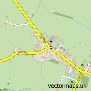
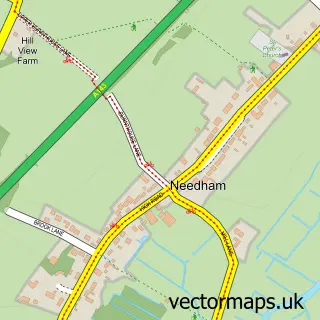
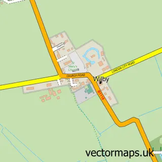
Nearby street map samples around Fressingfield

More street maps in Suffolk
750 metre map area coverage
Boundary, postcode and point of interest information for the 750m x 750m rectangle centred on this sample map.
Boundaries containing map centre
Constituency: Waveney Valley Co Const
County: Suffolk County
District: Mid Suffolk District
Icb: NHS Essex ICB
Parish: Fressingfield CP
Police Force: suffolk
Postcode District: IP21
Postcode Sector: IP21 5
Ward: Fressingfield Ward
Nearby boundaries intersecting sample
No additional intersecting boundaries found.
Postcode coverage
POI category counts
Convenience Store: 2
Pub: 2
Scout Hall: 2
Advertising Agency: 1
Anglican Church: 1
Baptist Church: 1
Building Supply Store: 1
Business Consulting: 1
Church Cathedral: 1
Coffee Shop: 1
Sample points of interest
- Admedia Solutions
- Fressingfield, St Peter & St Paul
- Fressingfield Baptist Chapel
- Out of the Woodwork
- Style Directions
- St Peter and St Paul's Church
- The Coffee Shop
- Fressingfield Sports and Social Club
- Costcutter
- Fressingfield General Stores Mace
- Fressingfield C of E Primary School
- Waveney
Create a larger editable map of Fressingfield
This sample shows only a 750 metre area. To create a larger map of Fressingfield, use our map builder to choose your own coverage area, add titles and download editable SVG, PDF and PNG files.
Create a custom map of Fressingfield