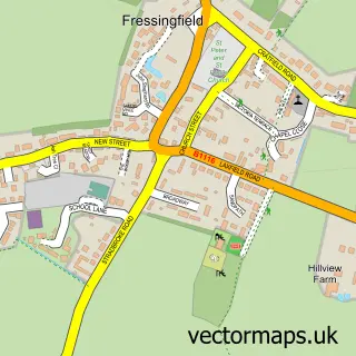
This Weybread street map is a detailed vector street map covering a 750m x 750m area. Select a larger area to create and download your own vector street map of Weybread.
The 750-metre map sample for Weybread covers 77 mapped buildings and approximately 9.3 km of road detail, of which 7 named roads are named. The immediate area includes 1 GP surgery within 2 miles and 1 MOT station, with 3 within 2 miles. To create a larger or custom map of Weybread, the map builder lets you define your own coverage area and download editable SVG, PDF and PNG files.
Create a larger editable map of Weybread
Choose any area you need and generate a high-quality vector map instantly. Perfect for print, planning, design, business and personal use.

This Weybread street map in Suffolk is available as downloadable SVG, PDF and PNG map files, or as a printed map for planning, business, display, education, local information and design work. You can also create a larger custom map area using the map selector.
What this Weybread map sample shows
Weybread lies within Weybread Cp parish, part of Fressingfield ward in the Mid Suffolk District local authority area. The postcode geography for this area includes the IP postcode area, the IP21 postcode district and the IP21 5 postcode sector. Residents fall under the Nhs Suffolk And North East Essex Integrated Care Board for NHS services.
Local features near Weybread
Within 2 milesAmenities and services in and around Weybread.
Administrative and postcode information for Weybread
The local authority covering Weybread is Mid Suffolk District, within the county of Suffolk. The settlement lies within Fressingfield ward and Weybread Cp civil parish. The IP21 postcode district and IP21 5 postcode sector serve the immediate area. NHS provision in the area is delivered through East Suffolk And North Essex Nhs Foundation Trust.
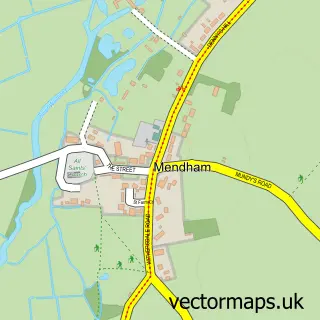
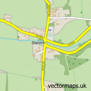
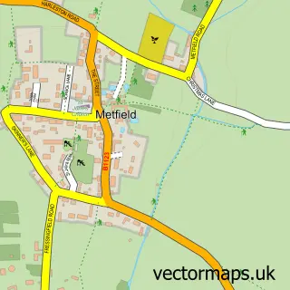
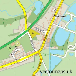
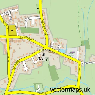
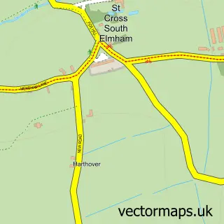
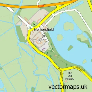
Nearby street map samples around Weybread

More street maps in Suffolk
750 metre map area coverage
Boundary, postcode and point of interest information for the 750m x 750m rectangle centred on this sample map.
Boundaries containing map centre
Constituency: Waveney Valley Co Const
County: Suffolk County
District: Mid Suffolk District
Icb: NHS Essex ICB
Parish: Weybread CP
Police Force: suffolk
Postcode District: IP21
Postcode Sector: IP21 5
Ward: Fressingfield Ward
Nearby boundaries intersecting sample
No additional intersecting boundaries found.
Postcode coverage
POI category counts
Automotive Repair: 2
Anglican Church: 1
Auto Body Shop: 1
Community Center: 1
Kids Recreation And Party: 1
Pest Control Service: 1
Pet Store: 1
Public Relations: 1
Retail: 1
Sample points of interest
- St Andrew Weybread
- Pugsport Racing
- C M Chambers Cars
- Cathedral Garage
- Weybread Village Hall
- Weybread Fishery
- Norfolk Pest Control Services
- One Stop Poultry Shop
- Finn Pathologists
- Potters of Weybread
Create a larger editable map of Weybread
This sample shows only a 750 metre area. To create a larger map of Weybread, use our map builder to choose your own coverage area, add titles and download editable SVG, PDF and PNG files.
Create a custom map of Weybread