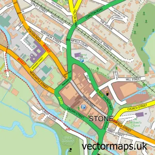
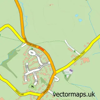
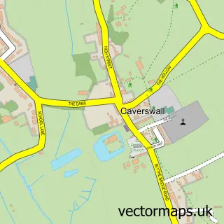
This Fulford street map is a detailed vector street map covering a 750m x 750m area. Select a larger area to create and download your own vector street map of Fulford.
The 750-metre map sample for Fulford covers 240 mapped buildings and approximately 11.6 km of road detail, of which 15 named roads are named. The immediate area includes 1 pub and 5 MOT stations within 2 miles. The wider area around Fulford features 1 food and drink venue and 1 hotel. To create a larger or custom map of Fulford, the map builder lets you define your own coverage area and download editable SVG, PDF and PNG files.
Create a larger editable map of Fulford
Choose any area you need and generate a high-quality vector map instantly. Perfect for print, planning, design, business and personal use.

This Fulford street map in Staffordshire is available as downloadable SVG, PDF and PNG map files, or as a printed map for planning, business, display, education, local information and design work. You can also create a larger custom map area using the map selector.
What this Fulford map sample shows
Fulford lies within Fulford Cp parish, part of Fulford ward in the Stafford District (B) local authority area. The postcode geography for this area includes the ST postcode area, the ST11 postcode district and the ST11 9 postcode sector. Residents fall under the Nhs Staffordshire And Stoke-On-Trent Integrated Care Board for NHS services.
Local features near Fulford
Within 2 milesAmenities and services in and around Fulford.
Administrative and postcode information for Fulford
The local authority covering Fulford is Stafford District (B), within the county of Staffordshire. The settlement lies within Fulford ward and Fulford Cp civil parish. The ST11 postcode district and ST11 9 postcode sector serve the immediate area. NHS provision in the area is delivered through University Hospitals Of North Midlands Nhs Trust.
Nearby street map samples around Fulford

More street maps in Staffordshire
750 metre map area coverage
Boundary, postcode and point of interest information for the 750m x 750m rectangle centred on this sample map.
Boundaries containing map centre
Constituency: Stoke-on-Trent South Co Const
County: Staffordshire County
District: Stafford District (B)
Icb: NHS Staffordshire and Stoke-on-Trent ICB
Parish: Fulford CP
Police Force: staffordshire
Postcode District: ST11
Postcode Sector: ST11 9
Ward: Fulford Ward
Nearby boundaries intersecting sample
Postcode District: ST15
Postcode Sector: ST15 8
Postcode coverage
POI category counts
Anglican Church: 1
Building Supply Store: 1
Church Cathedral: 1
Community Center: 1
Electrician: 1
Engineering Services: 1
Gastropub: 1
Home Security: 1
Hotel: 1
Hvac Services: 1
Sample points of interest
- St. Nicholas' Church, Fulford
- I.A.S.S
- St Nicholas's Church
- Fulford Village Hall
- Copeland Electrical Services
- Saxon Engineering
- Shoulder of Mutton
- HomeGuard Intruder Alarms
- Manor Barn
- SGH Mechanical Services
- CastleIT Support
- Highfield Canine Hydrotherapy
Create a larger editable map of Fulford
This sample shows only a 750 metre area. To create a larger map of Fulford, use our map builder to choose your own coverage area, add titles and download editable SVG, PDF and PNG files.
Create a custom map of Fulford