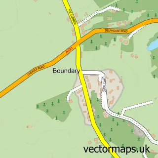
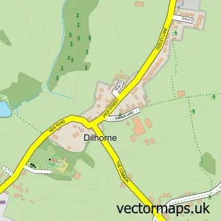
This Draycott in the Moors street map is a detailed vector street map covering a 750m x 750m area. Select a larger area to create and download your own vector street map of Draycott in the Moors.
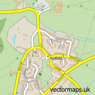
The 750-metre map sample for Draycott in the Moors covers 120 mapped buildings and approximately 8.2 km of road detail, of which 4 named roads are named. The immediate area includes 2 GP surgeries within 2 miles, 2 pubs and 7 MOT stations within 2 miles. The wider area around Draycott in the Moors features 1 tourism point of interest, 2 food and drink venues and 1 campsite within 2 miles. To create a larger or custom map of Draycott in the Moors, the map builder lets you define your own coverage area and download editable SVG, PDF and PNG files.
Create a larger editable map of Draycott in the Moors
Choose any area you need and generate a high-quality vector map instantly. Perfect for print, planning, design, business and personal use.

This Draycott in the Moors street map in Staffordshire is available as downloadable SVG, PDF and PNG map files, or as a printed map for planning, business, display, education, local information and design work. You can also create a larger custom map area using the map selector.
What this Draycott in the Moors map sample shows
Draycott in the Moors lies within Draycott In The Moors Cp parish, part of Checkley ward in the Staffordshire Moorlands District local authority area. The postcode geography for this area includes the ST postcode area, the ST11 postcode district and the ST11 9 postcode sector. Residents fall under the Nhs Staffordshire And Stoke-On-Trent Integrated Care Board for NHS services.
Local features near Draycott in the Moors
Within 2 milesAmenities and services in and around Draycott in the Moors.
Administrative and postcode information for Draycott in the Moors
Draycott in the Moors lies within Draycott In The Moors Cp parish, part of Checkley ward in the Staffordshire Moorlands District local authority area. The postcode geography for this area includes the ST postcode area, the ST11 postcode district and the ST11 9 postcode sector. Residents fall under the Nhs Staffordshire And Stoke-On-Trent Integrated Care Board for NHS services.
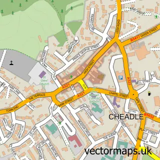
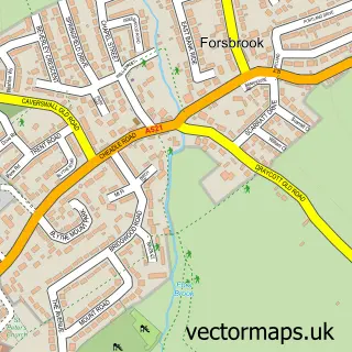
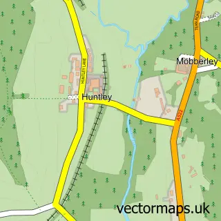
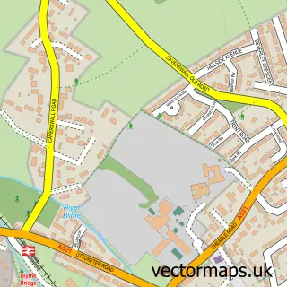
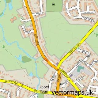
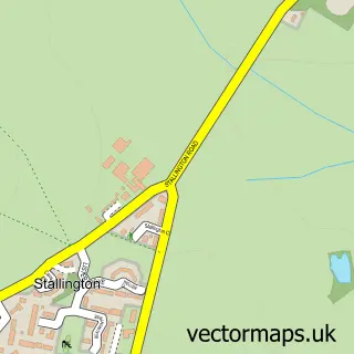
Nearby street map samples around Draycott in the Moors

More street maps in Staffordshire
750 metre map area coverage
Boundary, postcode and point of interest information for the 750m x 750m rectangle centred on this sample map.
Boundaries containing map centre
Constituency: Stoke-on-Trent South Co Const
County: Staffordshire County
District: Staffordshire Moorlands District
Icb: NHS Staffordshire and Stoke-on-Trent ICB
Parish: Draycott in the Moors CP
Police Force: staffordshire
Postcode District: ST11
Postcode Sector: ST11 9
Ward: Checkley Ward
Nearby boundaries intersecting sample
No additional intersecting boundaries found.
Postcode coverage
POI category counts
Pub: 2
Sports Club And League: 2
Anglican Church: 1
Antique Store: 1
Business To Business: 1
Campground: 1
Fireplace Service: 1
Gym: 1
Italian Restaurant: 1
Landscaping: 1
Sample points of interest
- St Margaret's Draycott-in-the-Moors
- D White Restoration
- Draycott Nurseries & Landscape Sales Ltd.
- Little Grange Camp Site
- Focal Flame
- Draycott Racquet & Fitness Club
- La Villa Verde
- Autumn Bloom Landscapes
- Sweet Meadows Plant Centre
- Walton Pump Services
- Draycott Arms
- The Draycott Arms
Create a larger editable map of Draycott in the Moors
This sample shows only a 750 metre area. To create a larger map of Draycott in the Moors, use our map builder to choose your own coverage area, add titles and download editable SVG, PDF and PNG files.
Create a custom map of Draycott in the Moors