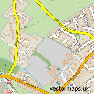
This Huntley street map is a detailed vector street map covering a 750m x 750m area. Select a larger area to create and download your own vector street map of Huntley.
The 750-metre map sample for Huntley covers 63 mapped buildings and approximately 19.1 km of road detail, of which 3 named roads are named. The immediate area includes 4 GP surgeries within 2 miles and 1 MOT station, with 5 within 2 miles. The wider area around Huntley features 1 campsite within 2 miles. To create a larger or custom map of Huntley, the map builder lets you define your own coverage area and download editable SVG, PDF and PNG files.
Create a larger editable map of Huntley
Choose any area you need and generate a high-quality vector map instantly. Perfect for print, planning, design, business and personal use.

This Huntley street map in Staffordshire is available as downloadable SVG, PDF and PNG map files, or as a printed map for planning, business, display, education, local information and design work. You can also create a larger custom map area using the map selector.
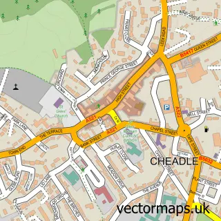
What this Huntley map sample shows
Huntley lies within Checkley Cp parish, part of Checkley ward in the Staffordshire Moorlands District local authority area. The postcode geography for this area includes the ST postcode area, the ST10 postcode district and the ST10 4 postcode sector. Residents fall under the Nhs Staffordshire And Stoke-On-Trent Integrated Care Board for NHS services.
Local features near Huntley
Within 2 milesAmenities and services in and around Huntley.
Administrative and postcode information for Huntley
The local authority covering Huntley is Staffordshire Moorlands District, within the county of Staffordshire. The settlement lies within Checkley ward and Checkley Cp civil parish. The ST10 postcode district and ST10 4 postcode sector serve the immediate area. NHS provision in the area is delivered through University Hospitals Of North Midlands Nhs Trust.
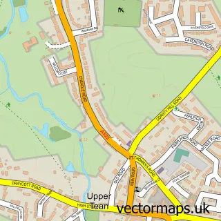
Nearby street map samples around Huntley

More street maps in Staffordshire
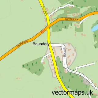
750 metre map area coverage
Boundary, postcode and point of interest information for the 750m x 750m rectangle centred on this sample map.
Boundaries containing map centre
Constituency: Staffordshire Moorlands Co Const
County: Staffordshire County
District: Staffordshire Moorlands District
Icb: NHS Staffordshire and Stoke-on-Trent ICB
Parish: Cheadle CP
Police Force: staffordshire
Postcode District: ST10
Postcode Sector: ST10 1
Ward: Cheadle West Ward
Nearby boundaries intersecting sample
Postcode Sector: ST10 4
Ward: Cheadle South East Ward
Postcode coverage
POI category counts
Automotive Repair: 1
Contractor: 1
Cottage: 1
Event Technology Service: 1
Party Equipment Rental: 1
Pet Store: 1
Sample points of interest
- Fair Test
- Ian Knapper
- Tollgate House
- Jacksons Marquee Hire
- Jackson Marquee Hire
- Lime Trees Veterinary Clinic - Cheadle
Create a larger editable map of Huntley
This sample shows only a 750 metre area. To create a larger map of Huntley, use our map builder to choose your own coverage area, add titles and download editable SVG, PDF and PNG files.
Create a custom map of Huntley