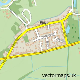
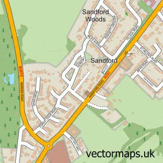
This Furzebrook street map is a detailed vector street map covering a 750m x 750m area. Select a larger area to create and download your own vector street map of Furzebrook.
The 750-metre map sample for Furzebrook covers 53 mapped buildings and approximately 6.4 km of road detail, of which 1 named road are named. The immediate area includes 2 MOT stations within 2 miles. The wider area around Furzebrook features 1 tourism point of interest and 3 campsites within 2 miles. To create a larger or custom map of Furzebrook, the map builder lets you define your own coverage area and download editable SVG, PDF and PNG files.
Create a larger editable map of Furzebrook
Choose any area you need and generate a high-quality vector map instantly. Perfect for print, planning, design, business and personal use.

This Furzebrook street map in Dorset is available as downloadable SVG, PDF and PNG map files, or as a printed map for planning, business, display, education, local information and design work. You can also create a larger custom map area using the map selector.
What this Furzebrook map sample shows
Furzebrook lies within Church Knowle Cp parish, part of South East Purbeck ward in the Dorset local authority area. The postcode geography for this area includes the BH postcode area, the BH20 postcode district and the BH20 5 postcode sector. Residents fall under the Nhs Dorset Integrated Care Board for NHS services.
Local features near Furzebrook
Within 2 milesAmenities and services in and around Furzebrook.
Administrative and postcode information for Furzebrook
Furzebrook lies within Church Knowle Cp parish, part of South East Purbeck ward in the Dorset local authority area. The postcode geography for this area includes the BH postcode area, the BH20 postcode district and the BH20 5 postcode sector. Residents fall under the Nhs Dorset Integrated Care Board for NHS services.
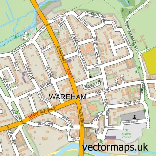
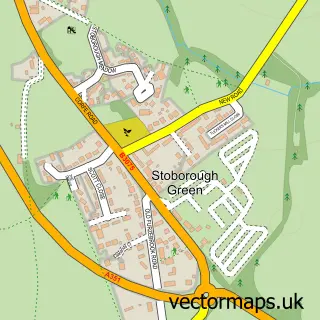
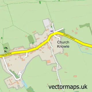
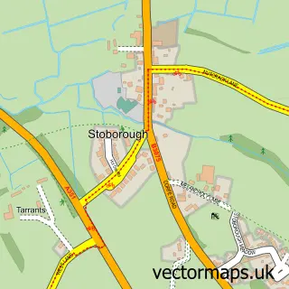
Nearby street map samples around Furzebrook

More street maps in Dorset
750 metre map area coverage
Boundary, postcode and point of interest information for the 750m x 750m rectangle centred on this sample map.
Boundaries containing map centre
Constituency: South Dorset Co Const
District: Dorset
Icb: NHS Dorset ICB
Parish: Church Knowle CP
Police Force: dorset
Postcode District: BH20
Postcode Sector: BH20 5
Ward: South East Purbeck Ward
Nearby boundaries intersecting sample
Constituency: Mid Dorset and North Poole Co Const
Parish: Arne CP
Ward: Wareham Ward
Postcode coverage
POI category counts
Commercial Industrial: 1
Nature Reserve: 1
Park: 1
Tea Room: 1
Sample points of interest
- Imerys Minerals
- Furzebrook Estate
- Barbrook Blue Pool
- The Blue Pool & Tea Rooms. New home to the Wareham Bears
Create a larger editable map of Furzebrook
This sample shows only a 750 metre area. To create a larger map of Furzebrook, use our map builder to choose your own coverage area, add titles and download editable SVG, PDF and PNG files.
Create a custom map of Furzebrook