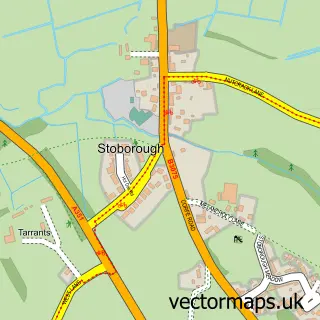
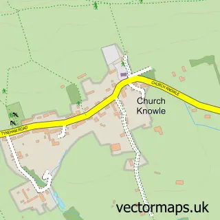
This Wareham street map is a detailed vector street map covering a 750m x 750m area. Select a larger area to create and download your own vector street map of Wareham.
The 750-metre map sample for Wareham covers 436 mapped buildings and approximately 19.0 km of road detail, of which 49 named roads are named. The immediate area includes 2 GP surgeries within 2 miles, 10 pubs and 5 MOT stations within 2 miles. The wider area around Wareham features 6 tourism points of interest, 18 food and drink venues and 5 hotels. To create a larger or custom map of Wareham, the map builder lets you define your own coverage area and download editable SVG, PDF and PNG files.
Create a larger editable map of Wareham
Choose any area you need and generate a high-quality vector map instantly. Perfect for print, planning, design, business and personal use.

This Wareham street map in Dorset is available as downloadable SVG, PDF and PNG map files, or as a printed map for planning, business, display, education, local information and design work. You can also create a larger custom map area using the map selector.
What this Wareham map sample shows
Wareham lies within Wareham Town Cp parish, part of Wareham ward in the Dorset local authority area. The postcode geography for this area includes the BH postcode area, the BH20 postcode district and the BH20 4 postcode sector. Residents fall under the Nhs Dorset Integrated Care Board for NHS services.
Local features near Wareham
Within 2 milesAmenities and services in and around Wareham.
Administrative and postcode information for Wareham
Wareham lies within Wareham Town Cp parish, part of Wareham ward in the Dorset local authority area. The postcode geography for this area includes the BH postcode area, the BH20 postcode district and the BH20 4 postcode sector. Residents fall under the Nhs Dorset Integrated Care Board for NHS services.
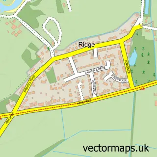
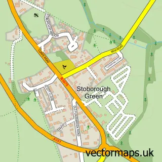
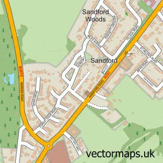
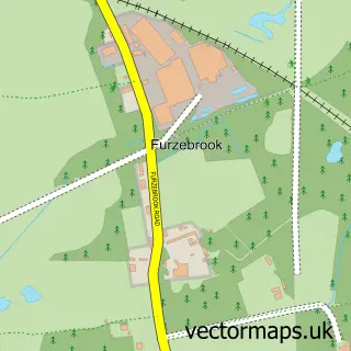
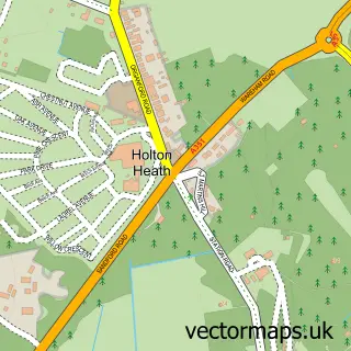
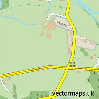
Nearby street map samples around Wareham

More street maps in Dorset
750 metre map area coverage
Boundary, postcode and point of interest information for the 750m x 750m rectangle centred on this sample map.
Boundaries containing map centre
Constituency: Mid Dorset and North Poole Co Const
District: Dorset
Icb: NHS Dorset ICB
Parish: Wareham Town CP
Police Force: dorset
Postcode District: BH20
Postcode Sector: BH20 4
Ward: Wareham Ward
Nearby boundaries intersecting sample
Parish: Arne CP
Postcode Sector: BH20 5
Postcode coverage
POI category counts
Real Estate Agent: 11
Pub: 10
Anglican Church: 5
Beauty Salon: 5
Church Cathedral: 5
Flowers And Gifts Shop: 5
Hotel: 5
Barber: 4
Business Management Services: 4
Hair Salon: 4
Sample points of interest
- Anglebury House
- Hendersons
- Michael Bune & Co. Chartered Accountants
- Ward Goodman Wareham Accountants
- Deer Management & Stalking
- White Tara Acupuncture
- Purbeck Airport Transfers
- Penny Rowe
- Priory Church of Lady St Mary
- St Martin on the Walls Church, Wareham
- St Martin's on The Walls
- The Priory Church of Lady St Mary, Wareham
Create a larger editable map of Wareham
This sample shows only a 750 metre area. To create a larger map of Wareham, use our map builder to choose your own coverage area, add titles and download editable SVG, PDF and PNG files.
Create a custom map of Wareham