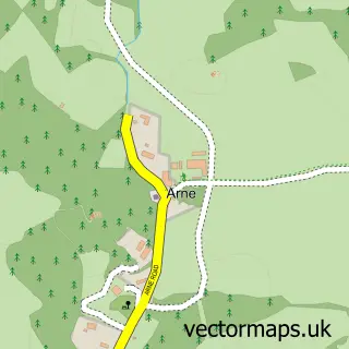
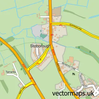
This Holton Heath street map is a detailed vector street map covering a 750m x 750m area. Select a larger area to create and download your own vector street map of Holton Heath.
The 750-metre map sample for Holton Heath covers 121 mapped buildings and approximately 12.2 km of road detail, of which 20 named roads are named. The immediate area includes 1 GP surgery within 2 miles, 1 pub and 5 MOT stations within 2 miles. The wider area around Holton Heath features 2 tourism points of interest, 1 food and drink venue and 1 hotel. To create a larger or custom map of Holton Heath, the map builder lets you define your own coverage area and download editable SVG, PDF and PNG files.
Create a larger editable map of Holton Heath
Choose any area you need and generate a high-quality vector map instantly. Perfect for print, planning, design, business and personal use.

This Holton Heath street map in Dorset is available as downloadable SVG, PDF and PNG map files, or as a printed map for planning, business, display, education, local information and design work. You can also create a larger custom map area using the map selector.
What this Holton Heath map sample shows
Holton Heath lies within Lytchett Minster And Upton Cp parish, part of Lytchett Matravers & Upton ward in the Dorset local authority area. The postcode geography for this area includes the BH postcode area, the BH16 postcode district and the BH16 6 postcode sector. Residents fall under the Nhs Dorset Integrated Care Board for NHS services.
Local features near Holton Heath
Within 2 milesAmenities and services in and around Holton Heath.
Administrative and postcode information for Holton Heath
Holton Heath lies within Lytchett Minster And Upton Cp parish, part of Lytchett Matravers & Upton ward in the Dorset local authority area. The postcode geography for this area includes the BH postcode area, the BH16 postcode district and the BH16 6 postcode sector. Residents fall under the Nhs Dorset Integrated Care Board for NHS services.
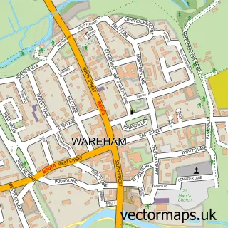
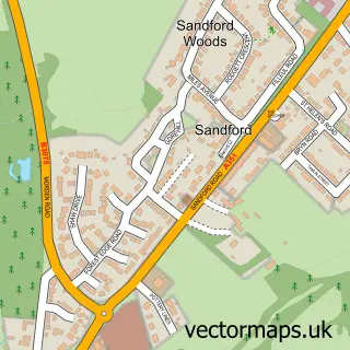
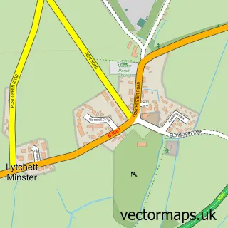
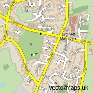
Nearby street map samples around Holton Heath

More street maps in Dorset
750 metre map area coverage
Boundary, postcode and point of interest information for the 750m x 750m rectangle centred on this sample map.
Boundaries containing map centre
Constituency: Mid Dorset and North Poole Co Const
District: Dorset
Icb: NHS Dorset ICB
Parish: Wareham St. Martin CP
Police Force: dorset
Postcode District: BH16
Postcode Sector: BH16 6
Ward: Wareham Ward
Nearby boundaries intersecting sample
Postcode District: BH20
Postcode Sector: BH20 7
Postcode coverage
POI category counts
Beauty And Spa: 1
Beauty Product Supplier: 1
Boat Dealer: 1
Campground: 1
Community Services Non Profits: 1
Dance Club: 1
Diner: 1
Financial Service: 1
Hardware Store: 1
Health And Medical: 1
Sample points of interest
- Savvy Steals
- RJ Beauty Rooms
- Stingray Sports boats
- Coach Road Wagons
- Lyme Disease UK
- Limelight Bar
- Car valet diner, Holton heath
- Apex CB Financial Planning Ltd
- Air & Power Services
- By Firdous Health
- Polar Cooling Solutions
- The Keyword
Create a larger editable map of Holton Heath
This sample shows only a 750 metre area. To create a larger map of Holton Heath, use our map builder to choose your own coverage area, add titles and download editable SVG, PDF and PNG files.
Create a custom map of Holton Heath