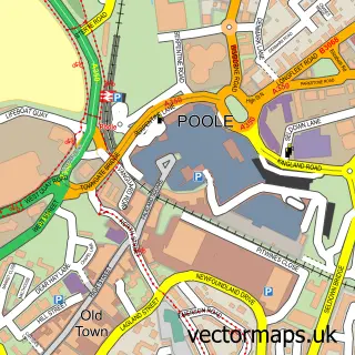
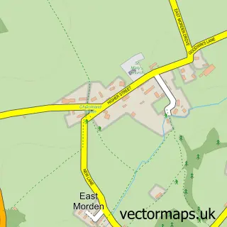
This Upton street map is a detailed vector street map covering a 750m x 750m area. Select a larger area to create and download your own vector street map of Upton.
The 750-metre map sample for Upton covers 414 mapped buildings and approximately 19.1 km of road detail, of which 44 named roads are named. The immediate area includes 2 GP surgeries within 2 miles and 17 MOT stations within 2 miles. The wider area around Upton features 1 tourism point of interest, 4 food and drink venues and 2 campsites within 2 miles. To create a larger or custom map of Upton, the map builder lets you define your own coverage area and download editable SVG, PDF and PNG files.
Create a larger editable map of Upton
Choose any area you need and generate a high-quality vector map instantly. Perfect for print, planning, design, business and personal use.

This Upton street map in Dorset is available as downloadable SVG, PDF and PNG map files, or as a printed map for planning, business, display, education, local information and design work. You can also create a larger custom map area using the map selector.
What this Upton map sample shows
Upton lies within Lytchett Minster And Upton Cp parish, part of Lytchett Matravers & Upton ward in the Dorset local authority area. The postcode geography for this area includes the BH postcode area, the BH16 postcode district and the BH16 5 postcode sector. Residents fall under the Nhs Dorset Integrated Care Board for NHS services.
Local features near Upton
Within 2 milesAmenities and services in and around Upton.
Administrative and postcode information for Upton
The local authority covering Upton is Dorset, within the county of Dorset. The settlement lies within Lytchett Matravers & Upton ward and Lytchett Minster And Upton Cp civil parish. The BH16 postcode district and BH16 5 postcode sector serve the immediate area. NHS provision in the area is delivered through University Hospitals Dorset Nhs Foundation Trust.
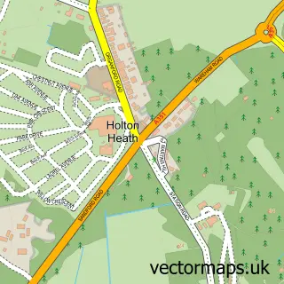
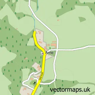
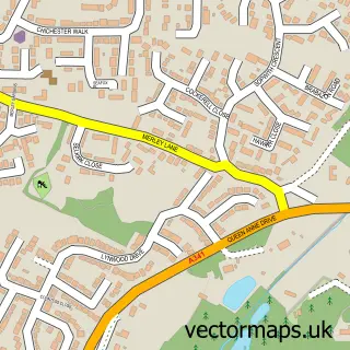
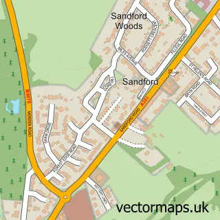
Nearby street map samples around Upton

More street maps in Dorset
750 metre map area coverage
Boundary, postcode and point of interest information for the 750m x 750m rectangle centred on this sample map.
Boundaries containing map centre
Constituency: Mid Dorset and North Poole Co Const
District: Dorset
Icb: NHS Dorset ICB
Parish: Lytchett Minster and Upton CP
Police Force: dorset
Postcode District: BH16
Postcode Sector: BH16 5
Ward: Lytchett Matravers & Upton Ward
Nearby boundaries intersecting sample
Parish: Corfe Mullen CP
Postcode District: BH17
Postcode Sector: BH16 6, BH17 7
Ward: Corfe Mullen Ward
Postcode coverage
POI category counts
Beauty Salon: 5
Doctor: 3
Pharmacy: 3
Professional Services: 3
Taxi Service: 3
Art Gallery: 2
Automotive Repair: 2
Car Wash: 2
Church Cathedral: 2
Coffee Shop: 2
Sample points of interest
- Tibbs Accounting Services
- Upton: St Dunstan
- Blue Rider Arts
- Blue Rider Arts
- Retirement Lease Housing Association
- Barclays ATM
- The Beacon Community Art Garden
- Parker Auto Refinishing
- Dorset Mobile Valeting
- A.F.L Trucks Ltd
- Smart ABC
- Stacey's Barber Shop
Create a larger editable map of Upton
This sample shows only a 750 metre area. To create a larger map of Upton, use our map builder to choose your own coverage area, add titles and download editable SVG, PDF and PNG files.
Create a custom map of Upton