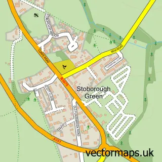
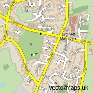
This Sandford street map is a detailed vector street map covering a 750m x 750m area. Select a larger area to create and download your own vector street map of Sandford.
The 750-metre map sample for Sandford covers 370 mapped buildings and approximately 13.5 km of road detail, of which 16 named roads are named. The immediate area includes 2 GP surgeries within 2 miles, 1 pub and 8 MOT stations within 2 miles. The wider area around Sandford features 2 food and drink venues and 4 campsites within 2 miles. To create a larger or custom map of Sandford, the map builder lets you define your own coverage area and download editable SVG, PDF and PNG files.
Create a larger editable map of Sandford
Choose any area you need and generate a high-quality vector map instantly. Perfect for print, planning, design, business and personal use.

This Sandford street map in Dorset is available as downloadable SVG, PDF and PNG map files, or as a printed map for planning, business, display, education, local information and design work. You can also create a larger custom map area using the map selector.
What this Sandford map sample shows
Sandford lies within Wareham St. Martin Cp parish, part of Wareham ward in the Dorset local authority area. The postcode geography for this area includes the BH postcode area, the BH20 postcode district and the BH20 7 postcode sector. Residents fall under the Nhs Dorset Integrated Care Board for NHS services.
Local features near Sandford
Within 2 milesAmenities and services in and around Sandford.
Administrative and postcode information for Sandford
Sandford lies within Wareham St. Martin Cp parish, part of Wareham ward in the Dorset local authority area. The postcode geography for this area includes the BH postcode area, the BH20 postcode district and the BH20 7 postcode sector. Residents fall under the Nhs Dorset Integrated Care Board for NHS services.
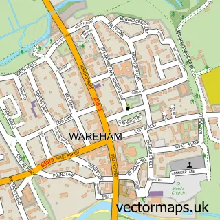
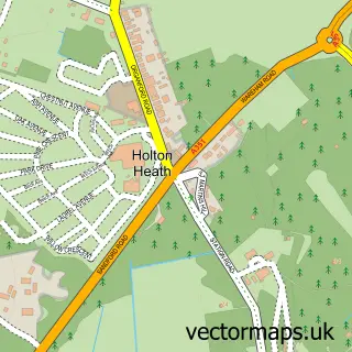
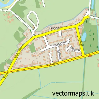
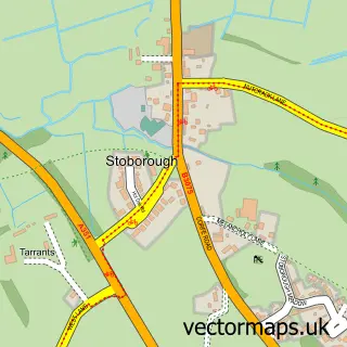
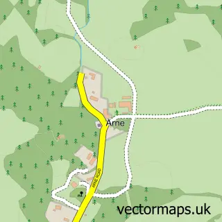
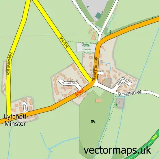
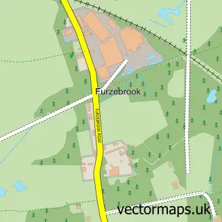
Nearby street map samples around Sandford

More street maps in Dorset
750 metre map area coverage
Boundary, postcode and point of interest information for the 750m x 750m rectangle centred on this sample map.
Boundaries containing map centre
Constituency: Mid Dorset and North Poole Co Const
District: Dorset
Icb: NHS Dorset ICB
Parish: Wareham St. Martin CP
Police Force: dorset
Postcode District: BH20
Postcode Sector: BH20 7
Ward: Wareham Ward
Nearby boundaries intersecting sample
No additional intersecting boundaries found.
Postcode coverage
POI category counts
Convenience Store: 2
Gas Station: 2
Accountant: 1
Atms: 1
Building Supply Store: 1
Caterer: 1
Central Government Office: 1
Chimney Sweep: 1
Coffee Shop: 1
Construction Services: 1
Sample points of interest
- PJC Accounting Services
- Asda (C) Sandford - Sandford Road PFS, Sandford
- Sandford Flooring
- Dorset Catering Services
- Your Clerk
- Sooty the Sweep
- Costa Express
- CPR Roofing & Building
- McColl's
- Premier Sandford Road Store
- Sandford Pharmacy
- Repairline
Create a larger editable map of Sandford
This sample shows only a 750 metre area. To create a larger map of Sandford, use our map builder to choose your own coverage area, add titles and download editable SVG, PDF and PNG files.
Create a custom map of Sandford