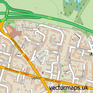
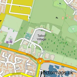
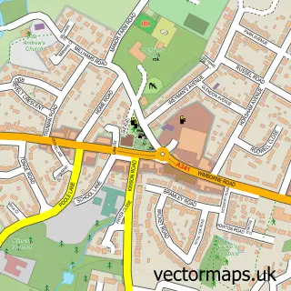
This Poole street map is a detailed vector street map covering a 750m x 750m area. Select a larger area to create and download your own vector street map of Poole.
The 750-metre map sample for Poole covers 157 mapped buildings and approximately 25.3 km of road detail, of which 45 named roads are named. The immediate area includes 1 school, 1 railway station, 7 GP surgeries within 2 miles and 9 pubs among other local services. The wider area around Poole features 8 tourism points of interest, 36 food and drink venues and 3 hotels. To create a larger or custom map of Poole, the map builder lets you define your own coverage area and download editable SVG, PDF and PNG files.
Create a larger editable map of Poole
Choose any area you need and generate a high-quality vector map instantly. Perfect for print, planning, design, business and personal use.

This Poole street map in Dorset is available as downloadable SVG, PDF and PNG map files, or as a printed map for planning, business, display, education, local information and design work. You can also create a larger custom map area using the map selector.
What this Poole map sample shows
Poole lies within Bournemouth, Christchurch And Poole parish, part of Poole Town ward in the Bournemouth, Christchurch And Poole local authority area. The postcode geography for this area includes the BH postcode area, the BH15 postcode district and the BH15 1 postcode sector. Residents fall under the Nhs Dorset Integrated Care Board for NHS services.
Local features near Poole
Within 2 milesAmenities and services in and around Poole.
Administrative and postcode information for Poole
The local authority covering Poole is Bournemouth, Christchurch And Poole, within the county of Dorset. The settlement lies within Poole Town ward and Bournemouth, Christchurch And Poole civil parish. The BH15 postcode district and BH15 1 postcode sector serve the immediate area. NHS provision in the area is delivered through University Hospitals Dorset Nhs Foundation Trust.
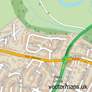
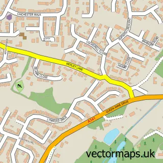
Nearby street map samples around Poole

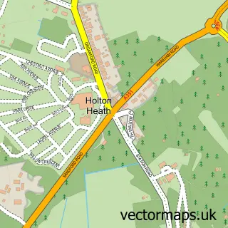
More street maps in Dorset
750 metre map area coverage
Boundary, postcode and point of interest information for the 750m x 750m rectangle centred on this sample map.
Boundaries containing map centre
Constituency: Poole Boro Const
District: Bournemouth, Christchurch and Poole
Icb: NHS Dorset ICB
Police Force: dorset
Postcode District: BH15
Postcode Sector: BH15 1
Ward: Poole Town Ward
Nearby boundaries intersecting sample
Postcode Sector: BH15 2
Postcode coverage
POI category counts
Clothing Store: 23
Jewelry Store: 17
Charity Organization: 14
Employment Agencies: 14
Real Estate Agent: 14
Coffee Shop: 13
Shoe Store: 11
Accountant: 10
Bank Credit Union: 10
Cafe: 10
Sample points of interest
- Corfe House
- Poole Cottage
- Addicus
- Addicus
- FC Payroll Solutions Poole
- Forvis Mazars
- Grasp Accountants
- Hill Osborne
- J.S. Licensed Trade Consultants
- Mazars
- PKF Francis Clark
- SinglePoint BookKeeping Services Ltd.
Create a larger editable map of Poole
This sample shows only a 750 metre area. To create a larger map of Poole, use our map builder to choose your own coverage area, add titles and download editable SVG, PDF and PNG files.
Create a custom map of Poole