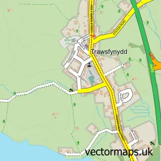
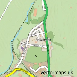
This Gellilydan street map is a detailed vector street map covering a 750m x 750m area. Select a larger area to create and download your own vector street map of Gellilydan.
The 750-metre map sample for Gellilydan covers 91 mapped buildings and approximately 10.5 km of road detail, of which 3 named roads are named. The immediate area includes 1 school and 1 pub. The wider area around Gellilydan features 1 tourism point of interest, 1 food and drink venue and 1 hotel. To create a larger or custom map of Gellilydan, the map builder lets you define your own coverage area and download editable SVG, PDF and PNG files.
Create a larger editable map of Gellilydan
Choose any area you need and generate a high-quality vector map instantly. Perfect for print, planning, design, business and personal use.

This Gellilydan street map in Gwynedd is available as downloadable SVG, PDF and PNG map files, or as a printed map for planning, business, display, education, local information and design work. You can also create a larger custom map area using the map selector.
What this Gellilydan map sample shows
Gellilydan lies within Maentwrog Community parish, part of Trawsfynydd ward in the Gwynedd - Gwynedd local authority area. The postcode geography for this area includes the LL postcode area, the LL41 postcode district and the LL41 4 postcode sector. Residents fall under the Betsi Cadwaladr University Health Board for NHS services.
Local features near Gellilydan
Within 2 milesAmenities and services in and around Gellilydan.
Administrative and postcode information for Gellilydan
Gellilydan lies within Maentwrog Community parish, part of Trawsfynydd ward in the Gwynedd - Gwynedd local authority area. The postcode geography for this area includes the LL postcode area, the LL41 postcode district and the LL41 4 postcode sector. Residents fall under the Betsi Cadwaladr University Health Board for NHS services.
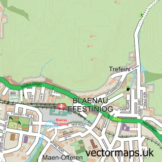
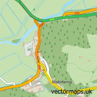
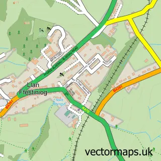
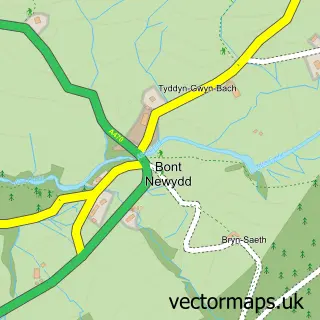
Nearby street map samples around Gellilydan

More street maps in Gwynedd
750 metre map area coverage
Boundary, postcode and point of interest information for the 750m x 750m rectangle centred on this sample map.
Boundaries containing map centre
Constituency: Dwyfor Meirionnydd Co Const
District: Gwynedd - Gwynedd
Icb: Betsi Cadwaladr University
Parish: Maentwrog Community
Police Force: north wales
Postcode District: LL41
Postcode Sector: LL41 4
Nearby boundaries intersecting sample
No additional intersecting boundaries found.
Postcode coverage
POI category counts
Business Advertising: 1
Campground: 1
Martial Arts Club: 1
Massage: 1
Pub: 1
Real Estate: 1
Rv Park: 1
Sample points of interest
- Snowdonia Farm Shop & Butchery
- The Caravan Club
- ERYRI DOJO - Elite Fighting Arts - Kyokushin & Kudo Wales
- Happy Feet Cymru
- Bryn Arms Gellilydan
- Gors fach
- Coed-Y-Llwyn Caravan and Motorhome Club Campsite
Create a larger editable map of Gellilydan
This sample shows only a 750 metre area. To create a larger map of Gellilydan, use our map builder to choose your own coverage area, add titles and download editable SVG, PDF and PNG files.
Create a custom map of Gellilydan