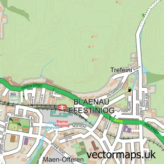
This Manod street map is a detailed vector street map covering a 750m x 750m area. Select a larger area to create and download your own vector street map of Manod.
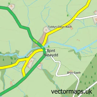
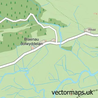
The 750-metre map sample for Manod covers 157 mapped buildings and approximately 5.6 km of road detail, of which 5 named roads are named. The immediate area includes 3 MOT stations within 2 miles. The wider area around Manod features 1 tourism point of interest. To create a larger or custom map of Manod, the map builder lets you define your own coverage area and download editable SVG, PDF and PNG files.
Create a larger editable map of Manod
Choose any area you need and generate a high-quality vector map instantly. Perfect for print, planning, design, business and personal use.

This Manod street map in Gwynedd is available as downloadable SVG, PDF and PNG map files, or as a printed map for planning, business, display, education, local information and design work. You can also create a larger custom map area using the map selector.
What this Manod map sample shows
Manod lies within Ffestiniog Community parish, part of Teigl ward in the Gwynedd - Gwynedd local authority area. The postcode geography for this area includes the LL postcode area, the LL41 postcode district and the LL41 4 postcode sector. Residents fall under the Betsi Cadwaladr University Health Board for NHS services.
Local features near Manod
Within 2 milesAmenities and services in and around Manod.
Administrative and postcode information for Manod
Manod lies within Ffestiniog Community parish, part of Teigl ward in the Gwynedd - Gwynedd local authority area. The postcode geography for this area includes the LL postcode area, the LL41 postcode district and the LL41 4 postcode sector. Residents fall under the Betsi Cadwaladr University Health Board for NHS services.
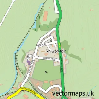
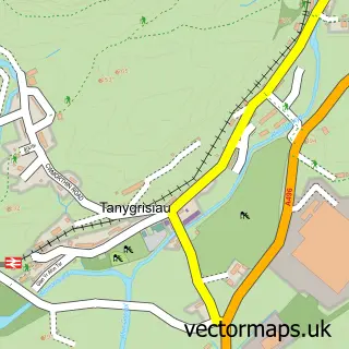
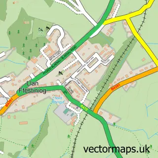
Nearby street map samples around Manod

More street maps in Gwynedd
750 metre map area coverage
Boundary, postcode and point of interest information for the 750m x 750m rectangle centred on this sample map.
Boundaries containing map centre
Constituency: Dwyfor Meirionnydd Co Const
District: Gwynedd - Gwynedd
Icb: Betsi Cadwaladr University
Parish: Ffestiniog Community
Police Force: north wales
Postcode District: LL41
Postcode Sector: LL41 4
Nearby boundaries intersecting sample
Postcode Sector: LL41 3
Postcode coverage
POI category counts
Bakery: 1
Bed And Breakfast: 1
Campground: 1
Farm: 1
Freight And Cargo Service: 1
Real Estate Agent: 1
Restaurant Wholesale: 1
School: 1
Sports And Recreation Venue: 1
Taxi Service: 1
Sample points of interest
- Debbie's Cakeole
- Craig Ddu Bed And Breakfast
- Cae Gwyn Farm & Nature Reserve
- Maentwrog Bunkhouse
- Hughes Specialised Transport
- MD Property Management
- Metcalfe Catering Equipment
- Ysgol Manod
- Brocader MCC
- John's Coaches
- Manod railway station
Create a larger editable map of Manod
This sample shows only a 750 metre area. To create a larger map of Manod, use our map builder to choose your own coverage area, add titles and download editable SVG, PDF and PNG files.
Create a custom map of Manod