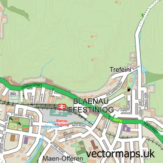
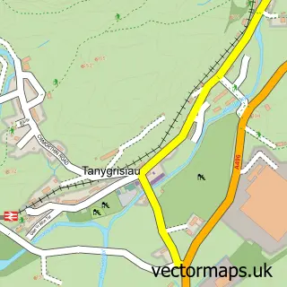
This Llan Ffestiniog street map is a detailed vector street map covering a 750m x 750m area. Select a larger area to create and download your own vector street map of Llan Ffestiniog.
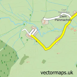
The 750-metre map sample for Llan Ffestiniog covers 183 mapped buildings and approximately 13.6 km of road detail, of which 10 named roads are named. The immediate area includes 1 school and 1 pub. The wider area around Llan Ffestiniog features 2 tourism points of interest, 2 food and drink venues and 1 hotel. To create a larger or custom map of Llan Ffestiniog, the map builder lets you define your own coverage area and download editable SVG, PDF and PNG files.
Create a larger editable map of Llan Ffestiniog
Choose any area you need and generate a high-quality vector map instantly. Perfect for print, planning, design, business and personal use.

This Llan Ffestiniog street map in Gwynedd is available as downloadable SVG, PDF and PNG map files, or as a printed map for planning, business, display, education, local information and design work. You can also create a larger custom map area using the map selector.
What this Llan Ffestiniog map sample shows
Llan Ffestiniog lies within Ffestiniog Community parish, part of Teigl ward in the Gwynedd - Gwynedd local authority area. The postcode geography for this area includes the LL postcode area, the LL41 postcode district and the LL41 4 postcode sector. Residents fall under the Betsi Cadwaladr University Health Board for NHS services.
Local features near Llan Ffestiniog
Within 2 milesAmenities and services in and around Llan Ffestiniog.
Administrative and postcode information for Llan Ffestiniog
The local authority covering Llan Ffestiniog is Gwynedd - Gwynedd, within the county of Gwynedd. The settlement lies within Teigl ward and Ffestiniog Community civil parish. The LL41 postcode district and LL41 4 postcode sector serve the immediate area. NHS provision in the area is delivered through Betsi Cadwaladr University Health Board.
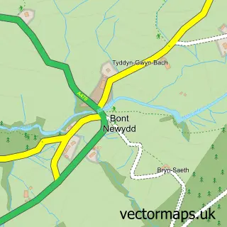
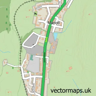
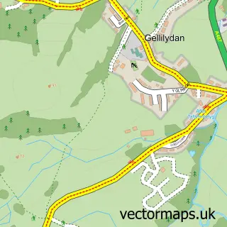
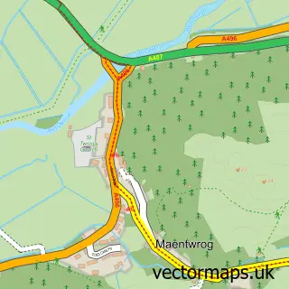
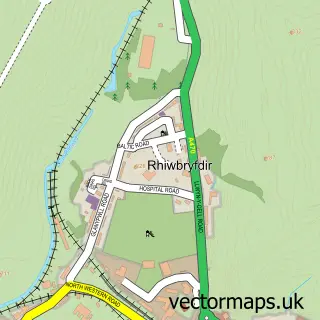
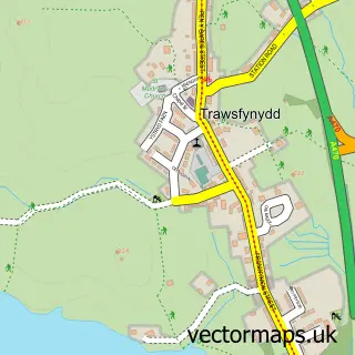
Nearby street map samples around Llan Ffestiniog

More street maps in Gwynedd
750 metre map area coverage
Boundary, postcode and point of interest information for the 750m x 750m rectangle centred on this sample map.
Boundaries containing map centre
Constituency: Dwyfor Meirionnydd Co Const
District: Gwynedd - Gwynedd
Icb: Betsi Cadwaladr University
Parish: Ffestiniog Community
Police Force: north wales
Postcode District: LL41
Postcode Sector: LL41 4
Nearby boundaries intersecting sample
No additional intersecting boundaries found.
Postcode coverage
POI category counts
Landmark And Historical Building: 2
Assisted Living Facility: 1
Convenience Store: 1
Guest House: 1
Home Service: 1
Hotel: 1
It Service And Computer Repair: 1
Pub: 1
Restaurant: 1
Sample points of interest
- Cartref Bryn Blodau
- Post Office-Ffestiniog
- Cae'r Blaidd Country House
- Cylch Meithrin Ffestiniog
- Tegannedd - Luxury Grade II Listed Cottage With Hot Tub
- the Computerman
- Llan Ffestiniog
- Rhaeadr Cynfal Falls
- Y Pengwern
- Llechwedd Caffi
Create a larger editable map of Llan Ffestiniog
This sample shows only a 750 metre area. To create a larger map of Llan Ffestiniog, use our map builder to choose your own coverage area, add titles and download editable SVG, PDF and PNG files.
Create a custom map of Llan Ffestiniog