Vector Maps logo
Home Why it works Popular maps Districts Samples Customizer Create Your Map
VectorMaps.uk
Home Popular maps Districts Samples Customizer Create Your Map Privacy Disclaimer
Home / UK Maps / East Riding of Yorkshire / Gilberdyke Map

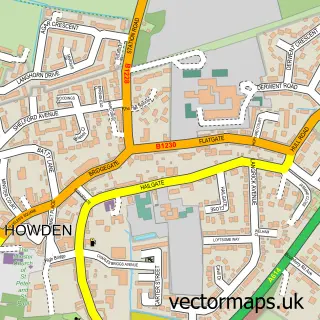
This Gilberdyke street map is a detailed vector street map covering a 750m x 750m area. Select a larger area to create and download your own vector street map of Gilberdyke.

Gilberdyke is a village in East Riding Of Yorkshire, in the Yorkshire And The Humber of England. Historically, the area formed part of Yorkshire. The settlement falls within the Haltemprice And Howden parliamentary constituency. It is served by the HU15 p

The 750-metre map sample for Gilberdyke covers 424 mapped buildings and approximately 14.2 km of road detail, of which 31 named roads are named. The immediate area includes 1 GP surgery and 1 MOT station, with 2 within 2 miles. To create a larger or custom map of Gilberdyke, the map builder lets you define your own coverage area and download editable SVG, PDF and PNG files.

424Buildings
14.19 kmRoads
31Named roads
2,192Residents within 2 miles
Create your own

Create a larger editable map of Gilberdyke

Choose any area you need and generate a high-quality vector map instantly. Perfect for print, planning, design, business and personal use.

Choose any location
Editable SVG files
Any size up to A0
PDF, PNG & more
Instant download
High quality guaranteed
Create My Custom Map
Secure, private & no credit card required
Gilberdyke Vector Street Map
750m Sample
Gilberdyke vector street map sample showing roads, buildings and local features in a 750 metre preview area
Buy Gilberdyke Map Print from £12.95 Buy Gilberdyke Digital Map from £6

This Gilberdyke street map in East Riding of Yorkshire is available as downloadable SVG, PDF and PNG map files, or as a printed map for planning, business, display, education, local information and design work. You can also create a larger custom map area using the map selector.

What this Gilberdyke map sample shows

Gilberdyke lies within Gilberdyke Cp parish, part of Howdenshire ward in the East Riding Of Yorkshire local authority area. The postcode geography for this area includes the HU postcode area, the HU15 postcode district and the HU15 2 postcode sector. Residents fall under the Nhs Humber And North Yorkshire Integrated Care Board for NHS services.

Local features near Gilberdyke

Within 2 miles

Amenities and services in and around Gilberdyke.

1 GP surgeries 1 within 2 miles
1 MOT stations 2 within 2 miles
4 Healthcare POIs
1 Vehicle services

Counts are approximate and based on publicly available data.

Administrative and postcode information for Gilberdyke

Gilberdyke lies within Gilberdyke Cp parish, part of Howdenshire ward in the East Riding Of Yorkshire local authority area. The postcode geography for this area includes the HU postcode area, the HU15 postcode district and the HU15 2 postcode sector. Residents fall under the Nhs Humber And North Yorkshire Integrated Care Board for NHS services.

Parish Gilberdyke CP
Ward Howdenshire
District / local authority East Riding of Yorkshire
County East Riding of Yorkshire
Historic county Yorkshire
Postcode district HU15
Postcode sector HU15 2
Parliamentary constituency Haltemprice and Howden
Region Yorkshire and the Humber
Country England

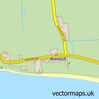
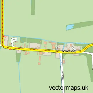
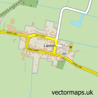
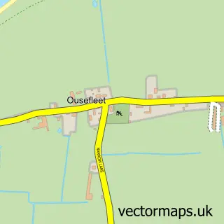
Nearby street map samples around Gilberdyke

Street map sample of Howden, East Riding of Yorkshire Howden Town - East Riding of Yorkshire - 5.4 miles Street map sample of Hull, East Riding of Yorkshire Hull City - East Riding of Yorkshire - 16.0 miles Street map sample of Scalby, East Riding of Yorkshire Scalby Village - East Riding of Yorkshire - 0.7 miles Street map sample of Newport, East Riding of Yorkshire Newport Village - East Riding of Yorkshire - 1.4 miles Street map sample of Eastrington, East Riding of Yorkshire Eastrington Village - East Riding of Yorkshire - 2.7 miles Street map sample of Broomfleet, East Riding of Yorkshire Broomfleet Village - East Riding of Yorkshire - 3.0 miles Street map sample of Blacktoft, East Riding of Yorkshire Blacktoft Village - East Riding of Yorkshire - 3.1 miles Street map sample of Yokefleet, East Riding of Yorkshire Yokefleet Village - East Riding of Yorkshire - 3.2 miles Street map sample of Laxton, East Riding of Yorkshire Laxton Village - East Riding of Yorkshire - 3.6 miles Street map sample of Ousefleet, East Riding of Yorkshire Ousefleet Village - East Riding of Yorkshire - 3.8 miles

More street maps in East Riding of Yorkshire

Street map sample of Scalby, East Riding of Yorkshire Scalby Village - 0.7 miles Street map sample of Newport, East Riding of Yorkshire Newport Village - 1.4 miles Street map sample of Eastrington, East Riding of Yorkshire Eastrington Village - 2.7 miles Street map sample of Broomfleet, East Riding of Yorkshire Broomfleet Village - 3.0 miles Street map sample of Blacktoft, East Riding of Yorkshire Blacktoft Village - 3.1 miles

750 metre map area coverage

Boundary, postcode and point of interest information for the 750m x 750m rectangle centred on this sample map.

Boundaries containing map centre

Constituency: Goole and Pocklington Co Const

District: East Riding of Yorkshire

Icb: NHS Humber and North Yorkshire ICB

Parish: Gilberdyke CP

Police Force: humberside

Postcode District: HU15

Postcode Sector: HU15 2

Ward: Howdenshire Ward

Nearby boundaries intersecting sample

No additional intersecting boundaries found.

Postcode coverage

HU15 HU15 2

POI category counts

Convenience Store: 4

Doctor: 2

Assisted Living Facility: 1

Atms: 1

Automotive Repair: 1

Beauty And Spa: 1

Beer Garden: 1

Building Supply Store: 1

Carpenter: 1

Contractor: 1

Sample points of interest

  • The Old School House Residential Care Home Assisted Living Facility
  • Gilberdyke Convenience Store (Protected) Atms
  • ADV Body Repair Automotive Repair
  • Iconic Nails and Beauty Beauty And Spa
  • Whittons Beer Garden Beer Garden
  • Magiccote Cleaning UK Building Supply Store
  • SJW Contracts Carpenter
  • M Hardcastle Services Contractor
  • Budgens Convenience Store
  • Premier Gilberdyke Convenience Convenience Store
  • SPAR Scalby Lane Convenience Store
  • Spar Convenience Store

Create a larger editable map of Gilberdyke

This sample shows only a 750 metre area. To create a larger map of Gilberdyke, use our map builder to choose your own coverage area, add titles and download editable SVG, PDF and PNG files.

Create a custom map of Gilberdyke

Phone 01751 473136 | Copyright Vectormaps.uk 2026

Samples Customizer Privacy Disclaimer
Gilberdyke Vector Street Map
Gilberdyke enlarged street map sample showing a 750 metre preview area