This Newport street map is a detailed vector street map covering a 750m x 750m area. Select a larger area to create and download your own vector street map of Newport.
The 750-metre map sample for Newport covers 331 mapped buildings and approximately 10.8 km of road detail, of which 16 named roads are named. The immediate area includes 1 school, 1 GP surgery within 2 miles, 2 pubs and 1 MOT station, with 3 within 2 miles. The wider area around Newport features 2 food and drink venues. To create a larger or custom map of Newport, the map builder lets you define your own coverage area and download editable SVG, PDF and PNG files.
Create a larger editable map of Newport
Choose any area you need and generate a high-quality vector map instantly. Perfect for print, planning, design, business and personal use.

This Newport street map in East Riding of Yorkshire is available as downloadable SVG, PDF and PNG map files, or as a printed map for planning, business, display, education, local information and design work. You can also create a larger custom map area using the map selector.
What this Newport map sample shows
Newport lies within Newport Cp parish, part of Howdenshire ward in the East Riding Of Yorkshire local authority area. The postcode geography for this area includes the HU postcode area, the HU15 postcode district and the HU15 2 postcode sector. Residents fall under the Nhs Humber And North Yorkshire Integrated Care Board for NHS services.
Local features near Newport
Within 2 milesAmenities and services in and around Newport.
Administrative and postcode information for Newport
The local authority covering Newport is East Riding Of Yorkshire, within the county of East Riding Of Yorkshire. The settlement lies within Howdenshire ward and Newport Cp civil parish. The HU15 postcode district and HU15 2 postcode sector serve the immediate area. NHS provision in the area is delivered through Hull University Teaching Hospitals Nhs Trust.
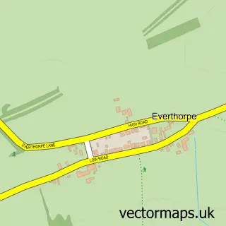
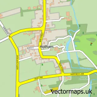
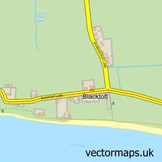
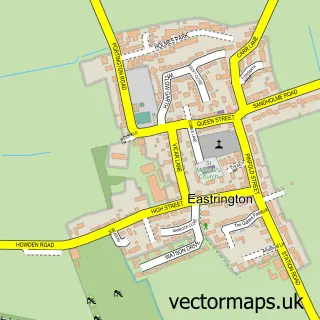
Nearby street map samples around Newport


More street maps in East Riding of Yorkshire
750 metre map area coverage
Boundary, postcode and point of interest information for the 750m x 750m rectangle centred on this sample map.
Boundaries containing map centre
Constituency: Goole and Pocklington Co Const
District: East Riding of Yorkshire
Icb: NHS Humber and North Yorkshire ICB
Parish: Newport CP
Police Force: humberside
Postcode District: HU15
Postcode Sector: HU15 2
Ward: Howdenshire Ward
Nearby boundaries intersecting sample
No additional intersecting boundaries found.
Postcode coverage
POI category counts
Convenience Store: 3
Professional Services: 3
Pub: 2
Atms: 1
Beauty Salon: 1
Building Contractor: 1
Business Management Services: 1
Butcher Shop: 1
Chinese Restaurant: 1
Church Cathedral: 1
Sample points of interest
- PayPoint
- Mittys hair salon and beauty shack
- Roslea Construction
- Sandtoft Tyres Next Day Mobile Tyres Brough
- Newport Butchers and Bakers
- Newport Chinese Takeaway
- Wallingfen Methodist Chapel
- Ollyskins
- Newport Village Hall, East Yorkshire.
- MTS Groundworks
- Londis
- Londis NEWPORT MINI MARKET
Create a larger editable map of Newport
This sample shows only a 750 metre area. To create a larger map of Newport, use our map builder to choose your own coverage area, add titles and download editable SVG, PDF and PNG files.
Create a custom map of Newport