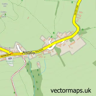
This Goathland street map is a detailed vector street map covering a 750m x 750m area. Select a larger area to create and download your own vector street map of Goathland.
The 750-metre map sample for Goathland covers 116 mapped buildings and approximately 8.0 km of road detail, of which 3 named roads are named. The immediate area includes 2 pubs. The wider area around Goathland features 5 food and drink venues and 3 hotels. To create a larger or custom map of Goathland, the map builder lets you define your own coverage area and download editable SVG, PDF and PNG files.
Create a larger editable map of Goathland
Choose any area you need and generate a high-quality vector map instantly. Perfect for print, planning, design, business and personal use.

This Goathland street map in North Yorkshire is available as downloadable SVG, PDF and PNG map files, or as a printed map for planning, business, display, education, local information and design work. You can also create a larger custom map area using the map selector.
What this Goathland map sample shows
Goathland lies within Goathland Cp parish, part of Esk Valley ward in the North Yorkshire local authority area. The postcode geography for this area includes the YO postcode area, the YO22 postcode district and the YO22 5 postcode sector. Residents fall under the Nhs Humber And North Yorkshire Integrated Care Board for NHS services.
Local features near Goathland
Within 2 milesAmenities and services in and around Goathland.
Administrative and postcode information for Goathland
Goathland lies within Goathland Cp parish, part of Esk Valley ward in the North Yorkshire local authority area. The postcode geography for this area includes the YO postcode area, the YO22 postcode district and the YO22 5 postcode sector. Residents fall under the Nhs Humber And North Yorkshire Integrated Care Board for NHS services.
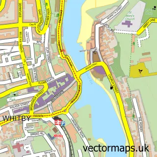
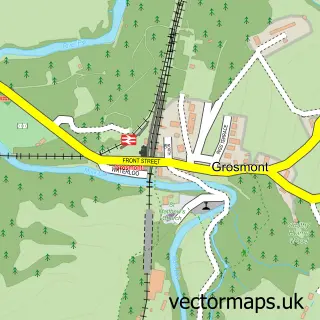
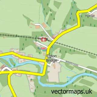
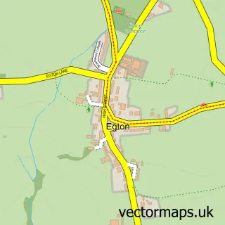
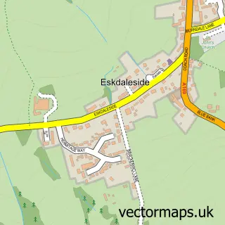
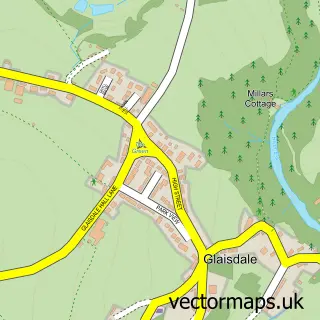
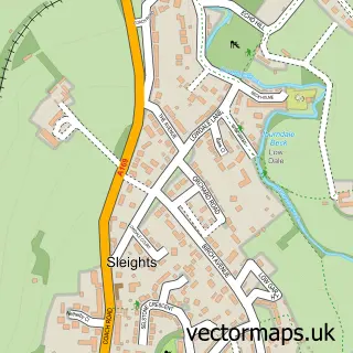
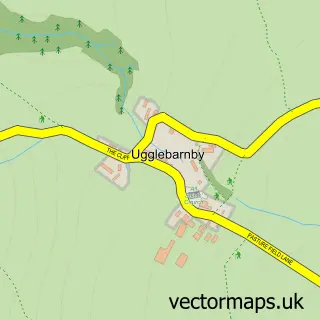
Nearby street map samples around Goathland

More street maps in North Yorkshire
750 metre map area coverage
Boundary, postcode and point of interest information for the 750m x 750m rectangle centred on this sample map.
Boundaries containing map centre
Constituency: Scarborough and Whitby Co Const
District: North Yorkshire
Icb: NHS Humber and North Yorkshire ICB
Parish: Goathland CP
Police Force: north yorkshire
Postcode District: YO22
Postcode Sector: YO22 5
Nearby boundaries intersecting sample
No additional intersecting boundaries found.
Postcode coverage
POI category counts
Bed And Breakfast: 8
Flowers And Gifts Shop: 3
Hotel: 3
Coffee Shop: 2
Pub: 2
Books Mags Music And Video: 1
Community Services Non Profits: 1
Convenience Store: 1
Elementary School: 1
Guest House: 1
Sample points of interest
- Eighteen97
- Fairhaven Country Guest House
- Glendale House
- Glendale House Bed & Breakfast
- Glendale House Goathland
- Heatherdene Hotel
- Mill Croft Bed & Breakfast
- Rose & Daisy Cottage, Goathland
- Post Office
- Moors Coffee Shop and Gifts
- Village Store & Moors Coffee Shop Goathland
- Goathland Village Hall & Play Area
Create a larger editable map of Goathland
This sample shows only a 750 metre area. To create a larger map of Goathland, use our map builder to choose your own coverage area, add titles and download editable SVG, PDF and PNG files.
Create a custom map of Goathland