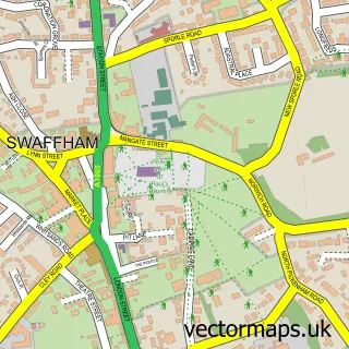
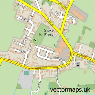
This Gooderstone street map is a detailed vector street map covering a 750m x 750m area. Select a larger area to create and download your own vector street map of Gooderstone.
The 750-metre map sample for Gooderstone covers 140 mapped buildings and approximately 9.9 km of road detail, of which 4 named roads are named. The immediate area includes 1 school. To create a larger or custom map of Gooderstone, the map builder lets you define your own coverage area and download editable SVG, PDF and PNG files.
Create a larger editable map of Gooderstone
Choose any area you need and generate a high-quality vector map instantly. Perfect for print, planning, design, business and personal use.

This Gooderstone street map in Norfolk is available as downloadable SVG, PDF and PNG map files, or as a printed map for planning, business, display, education, local information and design work. You can also create a larger custom map area using the map selector.
What this Gooderstone map sample shows
Gooderstone lies within Gooderstone Cp parish, part of Bedingfeld ward in the Breckland District local authority area. The postcode geography for this area includes the PE postcode area, the PE33 postcode district and the PE33 9 postcode sector. Residents fall under the Nhs Norfolk And Waveney Integrated Care Board for NHS services.
Local features near Gooderstone
Within 2 milesAmenities and services in and around Gooderstone.
Administrative and postcode information for Gooderstone
Gooderstone lies within Gooderstone Cp parish, part of Bedingfeld ward in the Breckland District local authority area. The postcode geography for this area includes the PE postcode area, the PE33 postcode district and the PE33 9 postcode sector. Residents fall under the Nhs Norfolk And Waveney Integrated Care Board for NHS services.
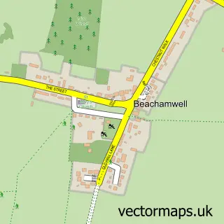
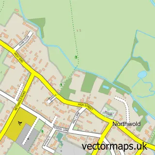
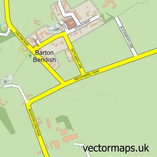
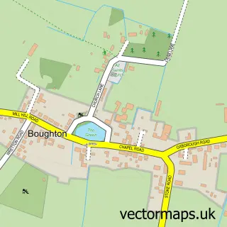
Nearby street map samples around Gooderstone

More street maps in Norfolk
750 metre map area coverage
Boundary, postcode and point of interest information for the 750m x 750m rectangle centred on this sample map.
Boundaries containing map centre
Constituency: South West Norfolk Co Const
County: Norfolk County
District: Breckland District
Icb: NHS Norfolk and Waveney ICB
Parish: Gooderstone CP
Police Force: norfolk
Postcode District: PE33
Postcode Sector: PE33 9
Ward: Bedingfeld Ward
Nearby boundaries intersecting sample
Parish: Oxborough CP
Postcode coverage
POI category counts
Anglican Church: 1
Bar: 1
Bridal Shop: 1
Elementary School: 1
Freight And Cargo Service: 1
Inn: 1
Nursery And Gardening: 1
Preschool: 1
Tea Room: 1
Sample points of interest
- Gooderstone: St George
- Goodyland Swan
- Victorian Bride
- Gooderstone Church of England Primary Academy
- Hare Freight
- The Swan Inn
- Gooderstone Water Gardens and Nature Trail
- Rainbow Pre-School
- Water Garden Tea Rooms
Create a larger editable map of Gooderstone
This sample shows only a 750 metre area. To create a larger map of Gooderstone, use our map builder to choose your own coverage area, add titles and download editable SVG, PDF and PNG files.
Create a custom map of Gooderstone