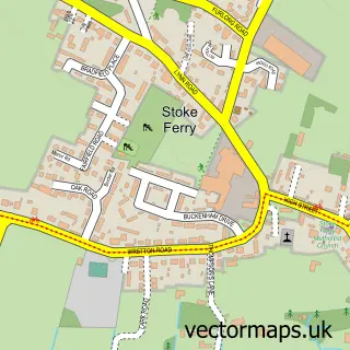
This Foulden street map is a detailed vector street map covering a 750m x 750m area. Select a larger area to create and download your own vector street map of Foulden.
The 750-metre map sample for Foulden covers 154 mapped buildings and approximately 14.3 km of road detail, of which 6 named roads are named. The immediate area includes 1 pub. The wider area around Foulden features 1 food and drink venue and 1 hotel. To create a larger or custom map of Foulden, the map builder lets you define your own coverage area and download editable SVG, PDF and PNG files.
Create a larger editable map of Foulden
Choose any area you need and generate a high-quality vector map instantly. Perfect for print, planning, design, business and personal use.

This Foulden street map in Norfolk is available as downloadable SVG, PDF and PNG map files, or as a printed map for planning, business, display, education, local information and design work. You can also create a larger custom map area using the map selector.
What this Foulden map sample shows
Foulden lies within Foulden Cp parish, part of Bedingfeld ward in the Breckland District local authority area. The postcode geography for this area includes the IP postcode area, the IP26 postcode district and the IP26 5 postcode sector. Residents fall under the Nhs Norfolk And Waveney Integrated Care Board for NHS services.
Local features near Foulden
Within 2 milesAmenities and services in and around Foulden.
Administrative and postcode information for Foulden
The local authority covering Foulden is Breckland District, within the county of Norfolk. The settlement lies within Bedingfeld ward and Foulden Cp civil parish. The IP26 postcode district and IP26 5 postcode sector serve the immediate area. NHS provision in the area is delivered through West Suffolk Nhs Foundation Trust.
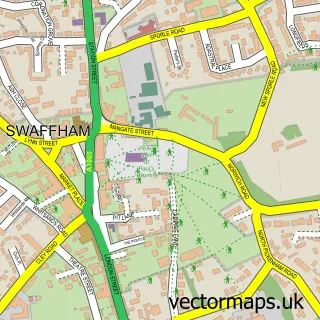
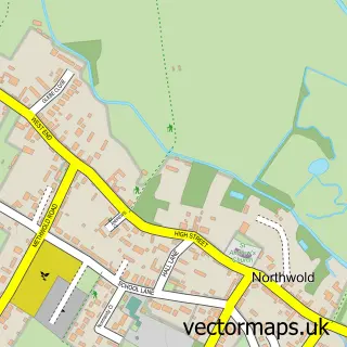
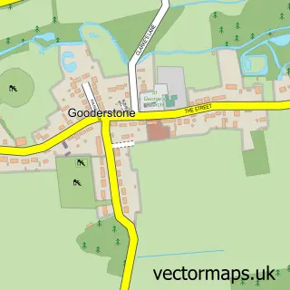
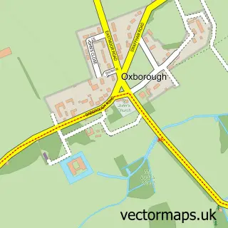
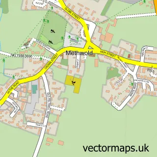
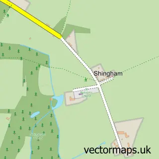
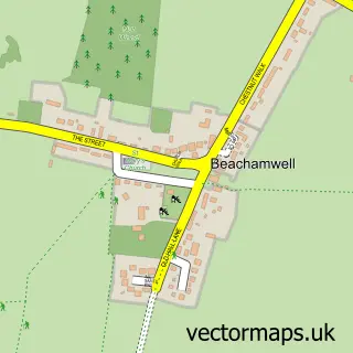
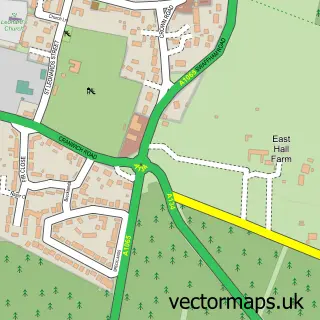
Nearby street map samples around Foulden

More street maps in Norfolk
750 metre map area coverage
Boundary, postcode and point of interest information for the 750m x 750m rectangle centred on this sample map.
Boundaries containing map centre
Constituency: South West Norfolk Co Const
County: Norfolk County
District: Breckland District
Icb: NHS Norfolk and Waveney ICB
Parish: Foulden CP
Police Force: norfolk
Postcode District: IP26
Postcode Sector: IP26 5
Ward: Bedingfeld Ward
Nearby boundaries intersecting sample
No additional intersecting boundaries found.
Postcode coverage
POI category counts
Asian Restaurant: 1
Beauty And Spa: 1
Community Center: 1
Farm: 1
Grocery Store: 1
Home Improvement Store: 1
Hotel: 1
Landscaping: 1
Metal Supplier: 1
Pizza Restaurant: 1
Sample points of interest
- New Saffron
- Hollywood Nails Thetford
- Foulden Village Hall
- Foulden Latimer Estate
- Mini market
- East Anglian Property Improvements
- Thomas Paine Hotel
- Cambridge Landscape Services
- Anglia Steel Portals
- PİZZA PLUS
- The White Hart Inn
Create a larger editable map of Foulden
This sample shows only a 750 metre area. To create a larger map of Foulden, use our map builder to choose your own coverage area, add titles and download editable SVG, PDF and PNG files.
Create a custom map of Foulden