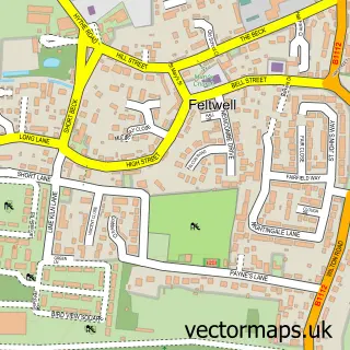
This Mundford street map is a detailed vector street map covering a 750m x 750m area. Select a larger area to create and download your own vector street map of Mundford.
The 750-metre map sample for Mundford covers 202 mapped buildings and approximately 14.9 km of road detail, of which 9 named roads are named. The immediate area includes 1 school and 1 pub. The wider area around Mundford features 2 food and drink venues and 1 hotel. To create a larger or custom map of Mundford, the map builder lets you define your own coverage area and download editable SVG, PDF and PNG files.
Create a larger editable map of Mundford
Choose any area you need and generate a high-quality vector map instantly. Perfect for print, planning, design, business and personal use.

This Mundford street map in Norfolk is available as downloadable SVG, PDF and PNG map files, or as a printed map for planning, business, display, education, local information and design work. You can also create a larger custom map area using the map selector.
What this Mundford map sample shows
Mundford lies within Mundford Cp parish, part of Bedingfeld ward in the Breckland District local authority area. The postcode geography for this area includes the IP postcode area, the IP26 postcode district and the IP26 5 postcode sector. Residents fall under the Nhs Norfolk And Waveney Integrated Care Board for NHS services.
Local features near Mundford
Within 2 milesAmenities and services in and around Mundford.
Administrative and postcode information for Mundford
Mundford lies within Mundford Cp parish, part of Bedingfeld ward in the Breckland District local authority area. The postcode geography for this area includes the IP postcode area, the IP26 postcode district and the IP26 5 postcode sector. Residents fall under the Nhs Norfolk And Waveney Integrated Care Board for NHS services.
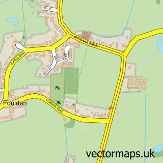
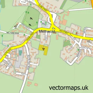
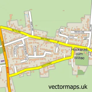
Nearby street map samples around Mundford

More street maps in Norfolk
750 metre map area coverage
Boundary, postcode and point of interest information for the 750m x 750m rectangle centred on this sample map.
Boundaries containing map centre
Constituency: South West Norfolk Co Const
County: Norfolk County
District: Breckland District
Icb: NHS Norfolk and Waveney ICB
Parish: Mundford CP
Police Force: norfolk
Postcode District: IP26
Postcode Sector: IP26 5
Ward: Bedingfeld Ward
Nearby boundaries intersecting sample
No additional intersecting boundaries found.
Postcode coverage
POI category counts
Anglican Church: 1
Auto Detailing: 1
Automotive Services And Repair: 1
Community Center: 1
Convenience Store: 1
Electrician: 1
Fish And Chips Restaurant: 1
Grocery Store: 1
Hair Salon: 1
Health And Medical: 1
Sample points of interest
- Mundford: St Leonard
- Fourways car wash
- Craft I C T
- Mundford Village Hall
- Nisa Local
- B.P Jermy Electrical Services
- Mundford fish bar
- Costcutter
- Crown Hairdressing and Beauticians
- Browns Kitchen And Farm Shop
- Forest Equine Escapes
- The Crown Hotel Mundford
Create a larger editable map of Mundford
This sample shows only a 750 metre area. To create a larger map of Mundford, use our map builder to choose your own coverage area, add titles and download editable SVG, PDF and PNG files.
Create a custom map of Mundford