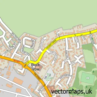
This Brandon street map is a detailed vector street map covering a 750m x 750m area. Select a larger area to create and download your own vector street map of Brandon.
The 750-metre map sample for Brandon covers 291 mapped buildings and approximately 9.0 km of road detail, of which 22 named roads are named. The immediate area includes 1 school, 2 GP surgeries, 3 pubs and 5 MOT stations within 2 miles. The wider area around Brandon features 3 tourism points of interest, 13 food and drink venues and 4 hotels. To create a larger or custom map of Brandon, the map builder lets you define your own coverage area and download editable SVG, PDF and PNG files.
Create a larger editable map of Brandon
Choose any area you need and generate a high-quality vector map instantly. Perfect for print, planning, design, business and personal use.

This Brandon street map in Suffolk is available as downloadable SVG, PDF and PNG map files, or as a printed map for planning, business, display, education, local information and design work. You can also create a larger custom map area using the map selector.
What this Brandon map sample shows
Brandon lies within Brandon Cp parish, part of Brandon Central ward in the West Suffolk District local authority area. The postcode geography for this area includes the IP postcode area, the IP27 postcode district and the IP27 0 postcode sector. Residents fall under the Nhs Suffolk And North East Essex Integrated Care Board for NHS services.
Local features near Brandon
Within 2 milesAmenities and services in and around Brandon.
Administrative and postcode information for Brandon
The local authority covering Brandon is West Suffolk District, within the county of Suffolk. The settlement lies within Brandon Central ward and Brandon Cp civil parish. The IP27 postcode district and IP27 0 postcode sector serve the immediate area. NHS provision in the area is delivered through West Suffolk Nhs Foundation Trust.
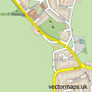
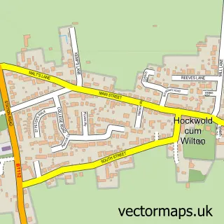
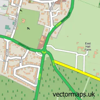
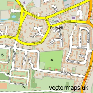
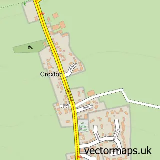
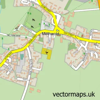
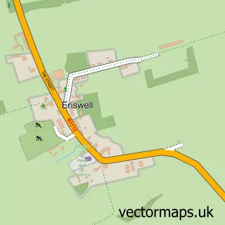
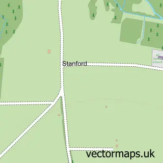
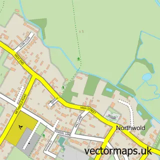
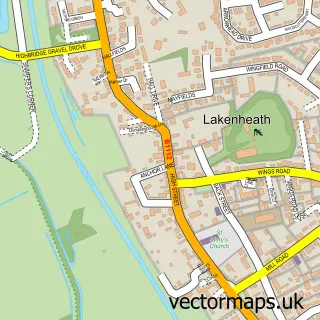
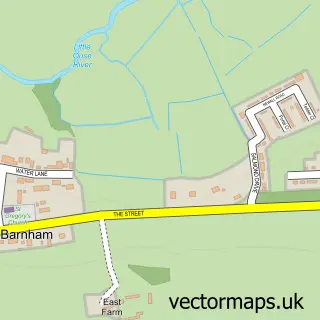
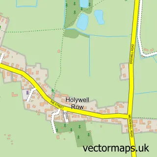
Nearby street map samples around Brandon

More street maps in Suffolk
750 metre map area coverage
Boundary, postcode and point of interest information for the 750m x 750m rectangle centred on this sample map.
Boundaries containing map centre
Constituency: West Suffolk Co Const
County: Suffolk County
District: West Suffolk District
Icb: NHS Essex ICB
Parish: Brandon CP
Police Force: suffolk
Postcode District: IP27
Postcode Sector: IP27 0
Ward: Brandon Central Ward
Nearby boundaries intersecting sample
Constituency: South West Norfolk Co Const
County: Norfolk County
District: Breckland District
Icb: NHS Norfolk and Waveney ICB
Parish: Weeting-with-Broomhill CP
Police Force: norfolk
Ward: Brandon East Ward, Brandon West Ward, Forest Ward
Postcode coverage
POI category counts
Beauty Salon: 6
Restaurant: 6
Flowers And Gifts Shop: 5
Real Estate Agent: 5
Hotel: 4
Bar: 3
Barber: 3
Beauty And Spa: 3
Chinese Restaurant: 3
Church Cathedral: 3
Sample points of interest
- T W R Accountants
- Stemz Fitness
- Apartment Hotel
- Cats Protection League
- Cobra Domestic Appliances
- Picture Framing
- The Craft Cabin
- The Friendly Bench Network
- Brandon Motorcycles
- D R Hyam
- Hyams Bakery
- Brandon Baptist Church
Create a larger editable map of Brandon
This sample shows only a 750 metre area. To create a larger map of Brandon, use our map builder to choose your own coverage area, add titles and download editable SVG, PDF and PNG files.
Create a custom map of Brandon