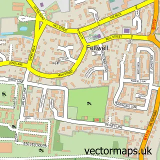
This Lakenheath street map is a detailed vector street map covering a 750m x 750m area. Select a larger area to create and download your own vector street map of Lakenheath.
The 750-metre map sample for Lakenheath covers 457 mapped buildings and approximately 14.8 km of road detail, of which 33 named roads are named. The immediate area includes 1 GP surgery within 2 miles, 3 pubs and 3 MOT stations within 2 miles. The wider area around Lakenheath features 4 food and drink venues and 1 hotel. To create a larger or custom map of Lakenheath, the map builder lets you define your own coverage area and download editable SVG, PDF and PNG files.
Create a larger editable map of Lakenheath
Choose any area you need and generate a high-quality vector map instantly. Perfect for print, planning, design, business and personal use.

This Lakenheath street map in Suffolk is available as downloadable SVG, PDF and PNG map files, or as a printed map for planning, business, display, education, local information and design work. You can also create a larger custom map area using the map selector.
What this Lakenheath map sample shows
Lakenheath lies within Lakenheath Cp parish, part of Lakenheath ward in the West Suffolk District local authority area. The postcode geography for this area includes the IP postcode area, the IP27 postcode district and the IP27 9 postcode sector. Residents fall under the Nhs Suffolk And North East Essex Integrated Care Board for NHS services.
Local features near Lakenheath
Within 2 milesAmenities and services in and around Lakenheath.
Administrative and postcode information for Lakenheath
Lakenheath lies within Lakenheath Cp parish, part of Lakenheath ward in the West Suffolk District local authority area. The postcode geography for this area includes the IP postcode area, the IP27 postcode district and the IP27 9 postcode sector. Residents fall under the Nhs Suffolk And North East Essex Integrated Care Board for NHS services.
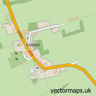
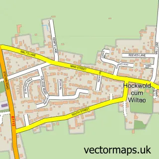
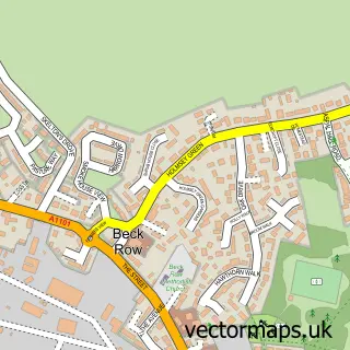
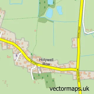
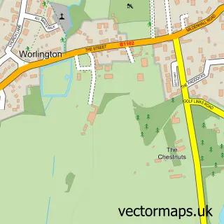
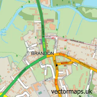
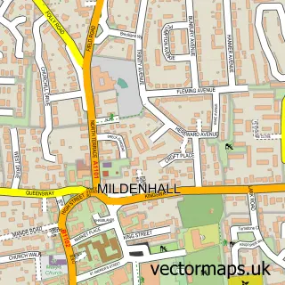
Nearby street map samples around Lakenheath

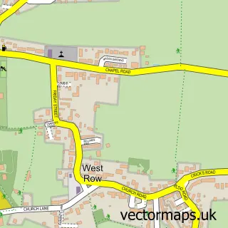
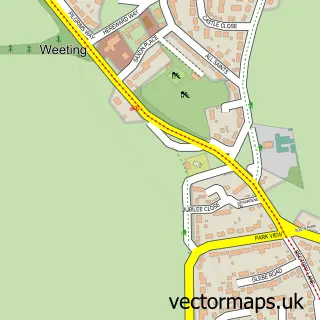
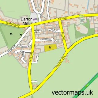
More street maps in Suffolk
750 metre map area coverage
Boundary, postcode and point of interest information for the 750m x 750m rectangle centred on this sample map.
Boundaries containing map centre
Constituency: West Suffolk Co Const
County: Suffolk County
District: West Suffolk District
Icb: NHS Essex ICB
Parish: Lakenheath CP
Police Force: suffolk
Postcode District: IP27
Postcode Sector: IP27 9
Ward: Lakenheath Ward
Nearby boundaries intersecting sample
No additional intersecting boundaries found.
Postcode coverage
POI category counts
Church Cathedral: 5
Hair Salon: 3
Pub: 3
Anglican Church: 2
Barber: 2
Education: 2
Indian Restaurant: 2
Property Management: 2
Tattoo And Piercing: 2
Accommodation: 1
Sample points of interest
- Lakenheath Village
- Custom Book Keeping
- Lakenheath, St Mary the Virgin
- St Mary's The Virgin
- The Cooperative Food (BF) Lakenheath, Lakenheath
- VIP MOT
- JJ's Gluten Free Bakes
- Lloyds Bank
- Chophouse Lakenheath
- Fly Barbers
- Head Over Heels
- Ray Holder Painter & Decorator
Create a larger editable map of Lakenheath
This sample shows only a 750 metre area. To create a larger map of Lakenheath, use our map builder to choose your own coverage area, add titles and download editable SVG, PDF and PNG files.
Create a custom map of Lakenheath