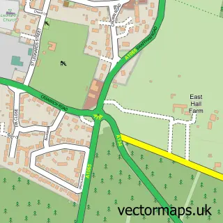
This Hockwold cum Wilton street map is a detailed vector street map covering a 750m x 750m area. Select a larger area to create and download your own vector street map of Hockwold cum Wilton.
The 750-metre map sample for Hockwold cum Wilton covers 373 mapped buildings and approximately 10.3 km of road detail, of which 18 named roads are named. The immediate area includes 1 GP surgery within 2 miles and 1 MOT station within 2 miles. To create a larger or custom map of Hockwold cum Wilton, the map builder lets you define your own coverage area and download editable SVG, PDF and PNG files.
Create a larger editable map of Hockwold cum Wilton
Choose any area you need and generate a high-quality vector map instantly. Perfect for print, planning, design, business and personal use.

This Hockwold cum Wilton street map in Norfolk is available as downloadable SVG, PDF and PNG map files, or as a printed map for planning, business, display, education, local information and design work. You can also create a larger custom map area using the map selector.
What this Hockwold cum Wilton map sample shows
Hockwold cum Wilton lies within Hockwold Cum Wilton Cp parish, part of Feltwell ward in the King's Lynn And West Norfolk District (B) local authority area. The postcode geography for this area includes the IP postcode area, the IP26 postcode district and the IP26 4 postcode sector. Residents fall under the Nhs Norfolk And Waveney Integrated Care Board for NHS services.
Local features near Hockwold cum Wilton
Within 2 milesAmenities and services in and around Hockwold cum Wilton.
Administrative and postcode information for Hockwold cum Wilton
Hockwold cum Wilton lies within Hockwold Cum Wilton Cp parish, part of Feltwell ward in the King's Lynn And West Norfolk District (B) local authority area. The postcode geography for this area includes the IP postcode area, the IP26 postcode district and the IP26 4 postcode sector. Residents fall under the Nhs Norfolk And Waveney Integrated Care Board for NHS services.
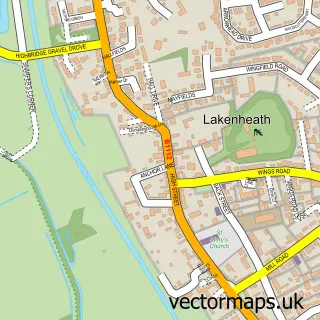
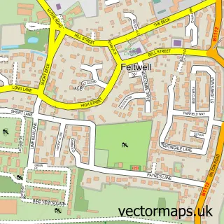
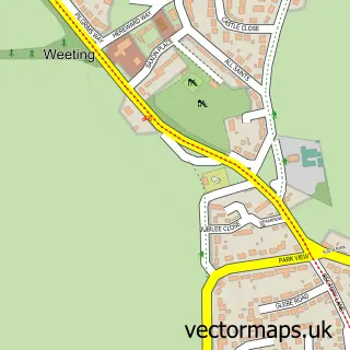
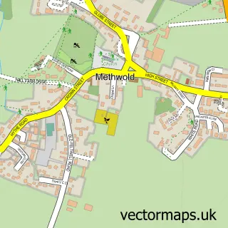
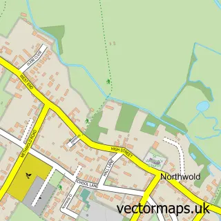
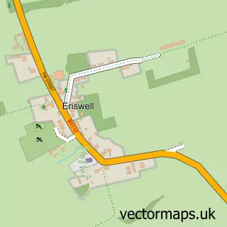
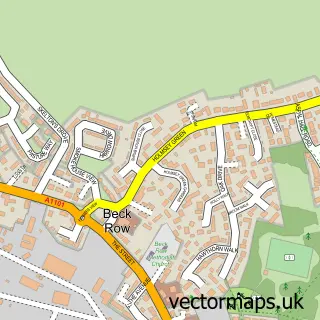
Nearby street map samples around Hockwold cum Wilton

More street maps in Norfolk
750 metre map area coverage
Boundary, postcode and point of interest information for the 750m x 750m rectangle centred on this sample map.
Boundaries containing map centre
Constituency: South West Norfolk Co Const
County: Norfolk County
District: King's Lynn and West Norfolk District (B)
Icb: NHS Norfolk and Waveney ICB
Parish: Hockwold cum Wilton CP
Police Force: norfolk
Postcode District: IP26
Postcode Sector: IP26 4
Ward: Feltwell Ward
Nearby boundaries intersecting sample
No additional intersecting boundaries found.
Postcode coverage
POI category counts
Building Supply Store: 2
Auto Body Shop: 1
Bar: 1
Business To Business: 1
Church Cathedral: 1
Educational Services: 1
Financial Service: 1
Gas Station: 1
Hair Salon: 1
Horse Boarding: 1
Sample points of interest
- Bulldog Service Station
- The New Inn
- Creative Ideas - Curtains, Blinds & Soft Furnishings
- Dan the Brush Man
- Sunrise Services
- St Peter's Church
- Access Training UK Ltd.
- N Harvey Bookkeeping Service
- Pace
- Mane Streak
- Twelve Acre Farm & livery
- P Grisbrook Building Design Services
Create a larger editable map of Hockwold cum Wilton
This sample shows only a 750 metre area. To create a larger map of Hockwold cum Wilton, use our map builder to choose your own coverage area, add titles and download editable SVG, PDF and PNG files.
Create a custom map of Hockwold cum Wilton