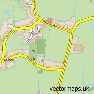
This Weeting street map is a detailed vector street map covering a 750m x 750m area. Select a larger area to create and download your own vector street map of Weeting.
The 750-metre map sample for Weeting covers 211 mapped buildings and approximately 10.3 km of road detail, of which 13 named roads are named. The immediate area includes 1 school, 2 GP surgeries within 2 miles, 2 pubs and 1 MOT station, with 4 within 2 miles. The wider area around Weeting features 4 food and drink venues. To create a larger or custom map of Weeting, the map builder lets you define your own coverage area and download editable SVG, PDF and PNG files.
Create a larger editable map of Weeting
Choose any area you need and generate a high-quality vector map instantly. Perfect for print, planning, design, business and personal use.

This Weeting street map in Norfolk is available as downloadable SVG, PDF and PNG map files, or as a printed map for planning, business, display, education, local information and design work. You can also create a larger custom map area using the map selector.
What this Weeting map sample shows
Weeting lies within Weeting-With-Broomhill Cp parish, part of Forest ward in the Breckland District local authority area. The postcode geography for this area includes the IP postcode area, the IP27 postcode district and the IP27 0 postcode sector. Residents fall under the Nhs Norfolk And Waveney Integrated Care Board for NHS services.
Local features near Weeting
Within 2 milesAmenities and services in and around Weeting.
Administrative and postcode information for Weeting
Weeting lies within Weeting-With-Broomhill Cp parish, part of Forest ward in the Breckland District local authority area. The postcode geography for this area includes the IP postcode area, the IP27 postcode district and the IP27 0 postcode sector. Residents fall under the Nhs Norfolk And Waveney Integrated Care Board for NHS services.
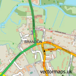
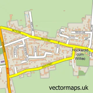
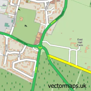
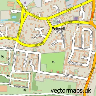
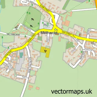
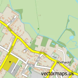
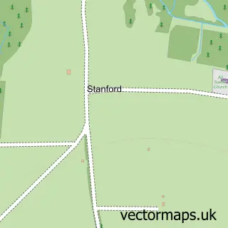
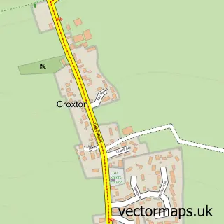
Nearby street map samples around Weeting

More street maps in Norfolk
750 metre map area coverage
Boundary, postcode and point of interest information for the 750m x 750m rectangle centred on this sample map.
Boundaries containing map centre
Constituency: South West Norfolk Co Const
County: Norfolk County
District: Breckland District
Icb: NHS Norfolk and Waveney ICB
Parish: Weeting-with-Broomhill CP
Police Force: norfolk
Postcode District: IP27
Postcode Sector: IP27 0
Ward: Forest Ward
Nearby boundaries intersecting sample
No additional intersecting boundaries found.
Postcode coverage
POI category counts
Convenience Store: 3
Coffee Shop: 2
Flea Market: 2
Pub: 2
Antique Store: 1
Atms: 1
Beauty Salon: 1
Car Dealer: 1
Community Center: 1
Diner: 1
Sample points of interest
- Weeting Saturday Car Bootsale & Antiques Fair
- PayPoint
- Weeting Salon
- Breckland Vehicle Specialists
- Costa Express
- Wild Bean Cafe
- Downham Market, Methwold Area and Swaffham Children's Centres
- Budgens Weeting
- Londis
- Londis LONDIS WEETING
- The Ranch Weeting Brandon Cafe & Diner
- Weeting Primary School
Create a larger editable map of Weeting
This sample shows only a 750 metre area. To create a larger map of Weeting, use our map builder to choose your own coverage area, add titles and download editable SVG, PDF and PNG files.
Create a custom map of Weeting