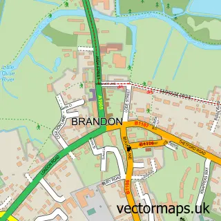
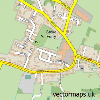
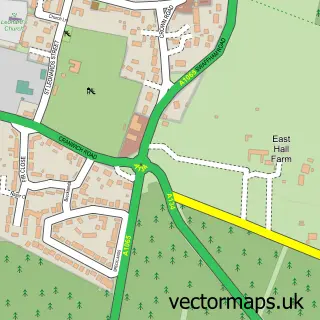
This Methwold street map is a detailed vector street map covering a 750m x 750m area. Select a larger area to create and download your own vector street map of Methwold.
The 750-metre map sample for Methwold covers 305 mapped buildings and approximately 7.8 km of road detail, of which 18 named roads are named. The immediate area includes 1 school, 1 pub and 1 MOT station within 2 miles. The wider area around Methwold features 1 tourism point of interest and 1 food and drink venue. To create a larger or custom map of Methwold, the map builder lets you define your own coverage area and download editable SVG, PDF and PNG files.
Create a larger editable map of Methwold
Choose any area you need and generate a high-quality vector map instantly. Perfect for print, planning, design, business and personal use.

This Methwold street map in Norfolk is available as downloadable SVG, PDF and PNG map files, or as a printed map for planning, business, display, education, local information and design work. You can also create a larger custom map area using the map selector.
What this Methwold map sample shows
Methwold lies within Methwold Cp parish, part of Methwold ward in the King's Lynn And West Norfolk District (B) local authority area. The postcode geography for this area includes the IP postcode area, the IP26 postcode district and the IP26 4 postcode sector. Residents fall under the Nhs Norfolk And Waveney Integrated Care Board for NHS services.
Local features near Methwold
Within 2 milesAmenities and services in and around Methwold.
Administrative and postcode information for Methwold
Methwold lies within Methwold Cp parish, part of Methwold ward in the King's Lynn And West Norfolk District (B) local authority area. The postcode geography for this area includes the IP postcode area, the IP26 postcode district and the IP26 4 postcode sector. Residents fall under the Nhs Norfolk And Waveney Integrated Care Board for NHS services.
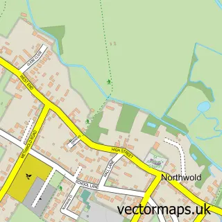
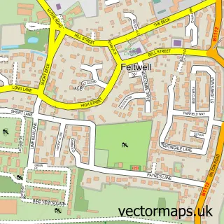
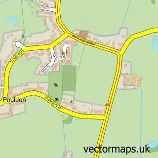
Nearby street map samples around Methwold

More street maps in Norfolk
750 metre map area coverage
Boundary, postcode and point of interest information for the 750m x 750m rectangle centred on this sample map.
Boundaries containing map centre
Constituency: South West Norfolk Co Const
County: Norfolk County
District: King's Lynn and West Norfolk District (B)
Icb: NHS Norfolk and Waveney ICB
Parish: Methwold CP
Police Force: norfolk
Postcode District: IP26
Postcode Sector: IP26 4
Ward: Methwold Ward
Nearby boundaries intersecting sample
No additional intersecting boundaries found.
Postcode coverage
POI category counts
Convenience Store: 3
Arts And Entertainment: 1
Auto Restoration Services: 1
Butcher Shop: 1
Caterer: 1
Church Cathedral: 1
Community Center: 1
Community Services Non Profits: 1
Doctor: 1
Elementary School: 1
Sample points of interest
- Vulcan Portraits
- Free-Dub Custom Conversions
- GB Quality Foods
- K J Catering
- St George's Church
- Methfold Village Hall
- Methwold History Group
- Premier
- Premier
- Premier Methwold Convenience Store
- St George's Hall (Feltwell Surgery)
- Duchy of Lancaster Methwold C of E Primary School
Create a larger editable map of Methwold
This sample shows only a 750 metre area. To create a larger map of Methwold, use our map builder to choose your own coverage area, add titles and download editable SVG, PDF and PNG files.
Create a custom map of Methwold