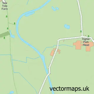
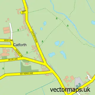
This Goosnargh street map is a detailed vector street map covering a 750m x 750m area. Select a larger area to create and download your own vector street map of Goosnargh.
The 750-metre map sample for Goosnargh covers 329 mapped buildings and approximately 9.5 km of road detail, of which 14 named roads are named. The immediate area includes 1 school, 2 pubs and 1 MOT station within 2 miles. The wider area around Goosnargh features 3 food and drink venues. To create a larger or custom map of Goosnargh, the map builder lets you define your own coverage area and download editable SVG, PDF and PNG files.
Create a larger editable map of Goosnargh
Choose any area you need and generate a high-quality vector map instantly. Perfect for print, planning, design, business and personal use.

This Goosnargh street map in Lancashire is available as downloadable SVG, PDF and PNG map files, or as a printed map for planning, business, display, education, local information and design work. You can also create a larger custom map area using the map selector.
What this Goosnargh map sample shows
Goosnargh lies within Whittingham Cp parish, part of Preston Rural East ward in the Preston District (B) local authority area. The postcode geography for this area includes the PR postcode area, the PR3 postcode district and the PR3 2 postcode sector. Residents fall under the Nhs Lancashire And South Cumbria Integrated Care Board for NHS services.
Local features near Goosnargh
Within 2 milesAmenities and services in and around Goosnargh.
Administrative and postcode information for Goosnargh
The local authority covering Goosnargh is Preston District (B), within the county of Lancashire. The settlement lies within Preston Rural East ward and Whittingham Cp civil parish. The PR3 postcode district and PR3 2 postcode sector serve the immediate area. NHS provision in the area is delivered through Lancashire Teaching Hospitals Nhs Foundation Trust.
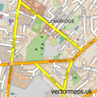
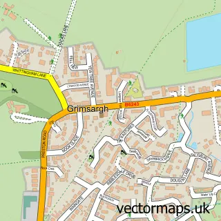
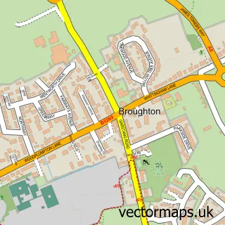
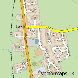
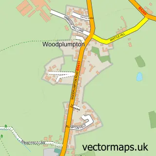
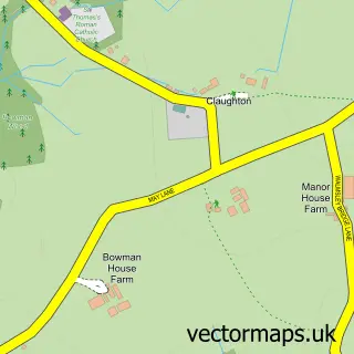
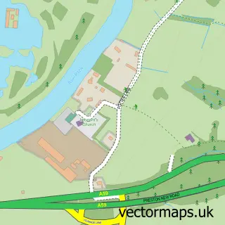
Nearby street map samples around Goosnargh

More street maps in Lancashire
750 metre map area coverage
Boundary, postcode and point of interest information for the 750m x 750m rectangle centred on this sample map.
Boundaries containing map centre
Constituency: Ribble Valley Co Const
County: Lancashire County
District: Preston District (B)
Icb: NHS Lancashire and South Cumbria ICB
Parish: Whittingham CP
Police Force: lancashire
Postcode District: PR3
Postcode Sector: PR3 2
Nearby boundaries intersecting sample
Parish: Goosnargh CP
Ward: Preston Rural East Ward, Preston Rural North Ward
Postcode coverage
POI category counts
Beauty Salon: 3
Food Delivery Service: 2
Pub: 2
Agricultural Service: 1
Agriculture: 1
Anglican Church: 1
Automotive Parts And Accessories: 1
Beauty And Spa: 1
Cleaning Services: 1
Community Center: 1
Sample points of interest
- Motracom Sales Ltd
- Dale House Gardens
- St Mary's Church
- New Reg
- Jasmine Youles Hair
- Beauty By Natalie-Louise
- Classic Cut - Hair & Beauty
- Natasha Hyland Beauty
- Selclene
- Goosnargh Village Hall
- The Village Store
- G Gornall
Create a larger editable map of Goosnargh
This sample shows only a 750 metre area. To create a larger map of Goosnargh, use our map builder to choose your own coverage area, add titles and download editable SVG, PDF and PNG files.
Create a custom map of Goosnargh