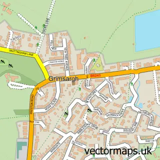
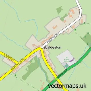
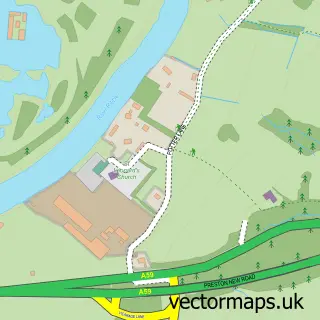
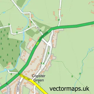
This Longridge street map is a detailed vector street map covering a 750m x 750m area. Select a larger area to create and download your own vector street map of Longridge.
The 750-metre map sample for Longridge covers 512 mapped buildings and approximately 19.0 km of road detail, of which 66 named roads are named. The immediate area includes 2 schools, 2 GP surgeries, 9 pubs and 2 MOT stations, with 5 within 2 miles. The wider area around Longridge features 1 tourism point of interest, 20 food and drink venues and 1 hotel. To create a larger or custom map of Longridge, the map builder lets you define your own coverage area and download editable SVG, PDF and PNG files.
Create a larger editable map of Longridge
Choose any area you need and generate a high-quality vector map instantly. Perfect for print, planning, design, business and personal use.

This Longridge street map in Lancashire is available as downloadable SVG, PDF and PNG map files, or as a printed map for planning, business, display, education, local information and design work. You can also create a larger custom map area using the map selector.
What this Longridge map sample shows
Longridge lies within Longridge Cp parish, part of Alston & Hothersall ward in the Ribble Valley District (B) local authority area. The postcode geography for this area includes the PR postcode area, the PR3 postcode district and the PR3 3 postcode sector. Residents fall under the Nhs Lancashire And South Cumbria Integrated Care Board for NHS services.
Local features near Longridge
Within 2 milesAmenities and services in and around Longridge.
Administrative and postcode information for Longridge
Longridge lies within Longridge Cp parish, part of Alston & Hothersall ward in the Ribble Valley District (B) local authority area. The postcode geography for this area includes the PR postcode area, the PR3 postcode district and the PR3 3 postcode sector. Residents fall under the Nhs Lancashire And South Cumbria Integrated Care Board for NHS services.
Nearby street map samples around Longridge


More street maps in Lancashire
750 metre map area coverage
Boundary, postcode and point of interest information for the 750m x 750m rectangle centred on this sample map.
Boundaries containing map centre
Constituency: Ribble Valley Co Const
County: Lancashire County
District: Ribble Valley District (B)
Icb: NHS Lancashire and South Cumbria ICB
Parish: Longridge CP
Police Force: lancashire
Postcode District: PR3
Postcode Sector: PR3 3
Ward: Derby & Thornley Ward
Nearby boundaries intersecting sample
Postcode Sector: PR3 2
Ward: Alston & Hothersall Ward, Dilworth Ward
Postcode coverage
POI category counts
Beauty Salon: 15
Pub: 9
Flowers And Gifts Shop: 7
Hair Salon: 7
Professional Services: 7
Barber: 5
Restaurant: 5
Banks: 4
Beauty And Spa: 4
Cafe: 4
Sample points of interest
- Ribble Valley Accountants Ltd
- Tonic Acupuncture
- Tonic Acupuncture
- Tonic Acupuncture
- Glimpse Creative Design & Print
- Vista Digital
- St Paul
- RSPCA
- Berry Antiques
- St Catherine's Hospice
- Entwistle Green
- Longridge Gallery
Create a larger editable map of Longridge
This sample shows only a 750 metre area. To create a larger map of Longridge, use our map builder to choose your own coverage area, add titles and download editable SVG, PDF and PNG files.
Create a custom map of Longridge