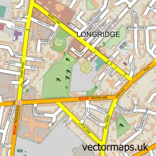
This Chipping street map is a detailed vector street map covering a 750m x 750m area. Select a larger area to create and download your own vector street map of Chipping.
The 750-metre map sample for Chipping covers 170 mapped buildings and approximately 11.5 km of road detail, of which 15 named roads are named. The immediate area includes 2 schools, 2 pubs and 1 MOT station within 2 miles. The wider area around Chipping features 1 tourism point of interest, 4 food and drink venues and 1 hotel. To create a larger or custom map of Chipping, the map builder lets you define your own coverage area and download editable SVG, PDF and PNG files.
Create a larger editable map of Chipping
Choose any area you need and generate a high-quality vector map instantly. Perfect for print, planning, design, business and personal use.

This Chipping street map in Lancashire is available as downloadable SVG, PDF and PNG map files, or as a printed map for planning, business, display, education, local information and design work. You can also create a larger custom map area using the map selector.
What this Chipping map sample shows
Chipping lies within Bowland-With-Leagram Cp parish, part of Chipping ward in the Ribble Valley District (B) local authority area. The postcode geography for this area includes the PR postcode area, the PR3 postcode district and the PR3 2 postcode sector. Residents fall under the Nhs Lancashire And South Cumbria Integrated Care Board for NHS services.
Local features near Chipping
Within 2 milesAmenities and services in and around Chipping.
Administrative and postcode information for Chipping
Chipping lies within Bowland-With-Leagram Cp parish, part of Chipping ward in the Ribble Valley District (B) local authority area. The postcode geography for this area includes the PR postcode area, the PR3 postcode district and the PR3 2 postcode sector. Residents fall under the Nhs Lancashire And South Cumbria Integrated Care Board for NHS services.
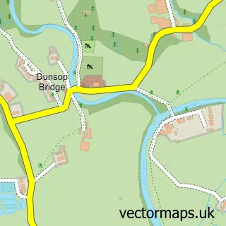
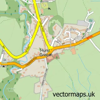
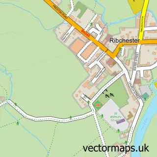
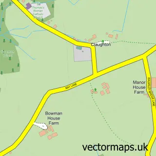
Nearby street map samples around Chipping


More street maps in Lancashire
750 metre map area coverage
Boundary, postcode and point of interest information for the 750m x 750m rectangle centred on this sample map.
Boundaries containing map centre
Constituency: Ribble Valley Co Const
County: Lancashire County
District: Ribble Valley District (B)
Icb: NHS Lancashire and South Cumbria ICB
Parish: Chipping CP
Police Force: lancashire
Postcode District: PR3
Postcode Sector: PR3 2
Ward: Chipping Ward
Nearby boundaries intersecting sample
Parish: Bowland-with-Leagram CP
Postcode coverage
POI category counts
Elementary School: 3
Anglican Church: 2
Post Office: 2
Preschool: 2
Pub: 2
Bar: 1
Butcher Shop: 1
Cafe: 1
Campus Building: 1
Car Dealer: 1
Sample points of interest
- St Bartholomew
- St Bartholomew's Church
- The Tilly's
- Little Town Farm Shop
- Cobbled Corner Cafe
- Kirk Mill
- Martin Pye Car Sales
- Brabins Village Shop & Tea Room
- Chipping Village Hall
- Brabin's Endowed School
- St Mary's Roman Catholic Primary School
- St Mary's Roman Catholic Primary School Chipping
Create a larger editable map of Chipping
This sample shows only a 750 metre area. To create a larger map of Chipping, use our map builder to choose your own coverage area, add titles and download editable SVG, PDF and PNG files.
Create a custom map of Chipping