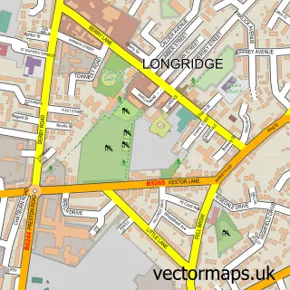
This Ribchester street map is a detailed vector street map covering a 750m x 750m area. Select a larger area to create and download your own vector street map of Ribchester.
The 750-metre map sample for Ribchester covers 154 mapped buildings and approximately 8.1 km of road detail, of which 14 named roads are named. The immediate area includes 1 school, 3 pubs and 1 MOT station, with 2 within 2 miles. The wider area around Ribchester features 2 tourism points of interest, 7 food and drink venues and 1 campsite within 2 miles. To create a larger or custom map of Ribchester, the map builder lets you define your own coverage area and download editable SVG, PDF and PNG files.
Create a larger editable map of Ribchester
Choose any area you need and generate a high-quality vector map instantly. Perfect for print, planning, design, business and personal use.

This Ribchester street map in Lancashire is available as downloadable SVG, PDF and PNG map files, or as a printed map for planning, business, display, education, local information and design work. You can also create a larger custom map area using the map selector.
What this Ribchester map sample shows
Ribchester lies within Ribchester Cp parish, part of Ribchester ward in the Ribble Valley District (B) local authority area. The postcode geography for this area includes the PR postcode area, the PR3 postcode district and the PR3 3 postcode sector. Residents fall under the Nhs Lancashire And South Cumbria Integrated Care Board for NHS services.
Local features near Ribchester
Within 2 milesAmenities and services in and around Ribchester.
Administrative and postcode information for Ribchester
Ribchester lies within Ribchester Cp parish, part of Ribchester ward in the Ribble Valley District (B) local authority area. The postcode geography for this area includes the PR postcode area, the PR3 postcode district and the PR3 3 postcode sector. Residents fall under the Nhs Lancashire And South Cumbria Integrated Care Board for NHS services.
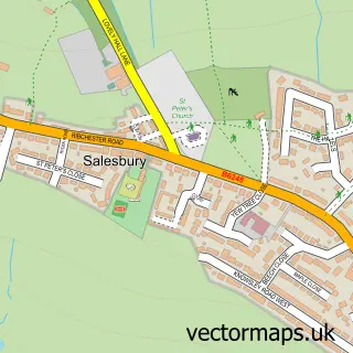
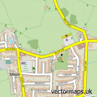
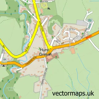
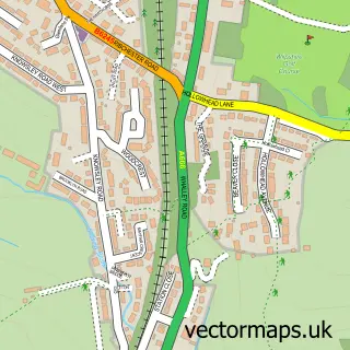
Nearby street map samples around Ribchester


More street maps in Lancashire
750 metre map area coverage
Boundary, postcode and point of interest information for the 750m x 750m rectangle centred on this sample map.
Boundaries containing map centre
Constituency: Ribble Valley Co Const
County: Lancashire County
District: Ribble Valley District (B)
Icb: NHS Lancashire and South Cumbria ICB
Parish: Ribchester CP
Police Force: lancashire
Postcode District: PR3
Postcode Sector: PR3 3
Ward: Ribchester Ward
Nearby boundaries intersecting sample
Parish: Clayton-le-Dale CP
Ward: Clayton-le-Dale & Salesbury Ward
Postcode coverage
POI category counts
Elementary School: 3
Pub: 3
Art Gallery: 2
Art Museum: 2
Arts And Entertainment: 2
Automotive Repair: 2
Cafe: 2
Community Services Non Profits: 2
Convenience Store: 2
Home Goods Store: 2
Sample points of interest
- St Wilfrid's Church
- Ascot Studios
- Brunswick Gallery
- Ribchester Roman Museum
- Rollinson Gallery
- Angela Wakefield
- Fun Valley Events
- Dutton Brook House
- Premier Ribchester (Protected)
- Diesel Bob Tuning
- Ribble Valley Diesels
- Feel Bar
Create a larger editable map of Ribchester
This sample shows only a 750 metre area. To create a larger map of Ribchester, use our map builder to choose your own coverage area, add titles and download editable SVG, PDF and PNG files.
Create a custom map of Ribchester