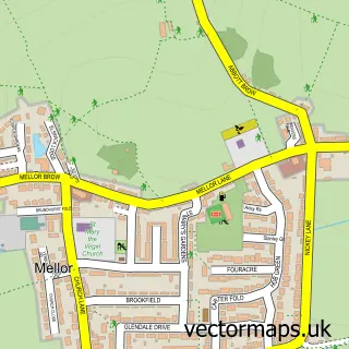
This Osbaldeston street map is a detailed vector street map covering a 750m x 750m area. Select a larger area to create and download your own vector street map of Osbaldeston.
The 750-metre map sample for Osbaldeston covers 86 mapped buildings and approximately 9.4 km of road detail, of which 5 named roads are named. The immediate area includes 1 school, 1 pub and 1 MOT station, with 3 within 2 miles. The wider area around Osbaldeston features 2 food and drink venues. To create a larger or custom map of Osbaldeston, the map builder lets you define your own coverage area and download editable SVG, PDF and PNG files.
Create a larger editable map of Osbaldeston
Choose any area you need and generate a high-quality vector map instantly. Perfect for print, planning, design, business and personal use.

This Osbaldeston street map in Lancashire is available as downloadable SVG, PDF and PNG map files, or as a printed map for planning, business, display, education, local information and design work. You can also create a larger custom map area using the map selector.
What this Osbaldeston map sample shows
Osbaldeston lies within Osbaldeston Cp parish, part of Mellor ward in the Ribble Valley District (B) local authority area. The postcode geography for this area includes the BB postcode area, the BB2 postcode district and the BB2 7 postcode sector. Residents fall under the Nhs Lancashire And South Cumbria Integrated Care Board for NHS services.
Local features near Osbaldeston
Within 2 milesAmenities and services in and around Osbaldeston.
Administrative and postcode information for Osbaldeston
The local authority covering Osbaldeston is Ribble Valley District (B), within the county of Lancashire. The settlement lies within Mellor ward and Osbaldeston Cp civil parish. The BB2 postcode district and BB2 7 postcode sector serve the immediate area. NHS provision in the area is delivered through East Lancashire Hospitals Nhs Trust.
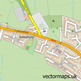
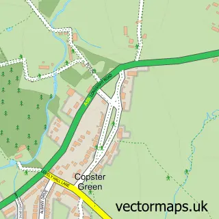
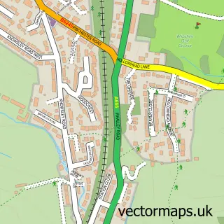
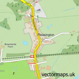
Nearby street map samples around Osbaldeston
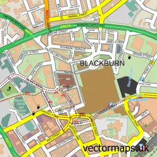


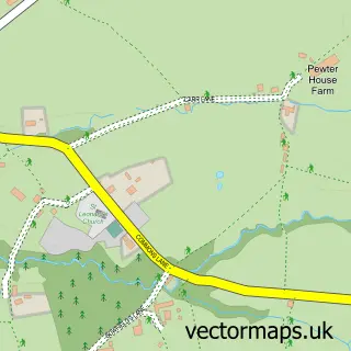
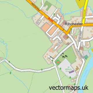
More street maps in Lancashire
750 metre map area coverage
Boundary, postcode and point of interest information for the 750m x 750m rectangle centred on this sample map.
Boundaries containing map centre
Constituency: Ribble Valley Co Const
County: Lancashire County
District: Ribble Valley District (B)
Icb: NHS Lancashire and South Cumbria ICB
Parish: Osbaldeston CP
Police Force: lancashire
Postcode District: BB2
Postcode Sector: BB2 7
Ward: Mellor Ward
Nearby boundaries intersecting sample
Parish: Balderstone CP, Clayton-le-Dale CP, Mellor CP
Ward: Clayton-le-Dale & Salesbury Ward
Postcode coverage
POI category counts
Gas Station: 3
Used Car Dealer: 2
Banks: 1
Coffee Shop: 1
Convenience Store: 1
Courier And Delivery Services: 1
Elementary School: 1
Financial Service: 1
Pub: 1
Rental Kiosks: 1
Sample points of interest
- Lloyds Bank
- Costa Express
- SPAR
- Evri ParcelShop
- St Mary's Rc Primary School Osbaldeston
- Progressive Wills
- ESSO PENNINE
- ESSO Station
- Esso
- The Bay Horse
- Pennine Service Station @ Blackburn
- Bowker Maserati
Create a larger editable map of Osbaldeston
This sample shows only a 750 metre area. To create a larger map of Osbaldeston, use our map builder to choose your own coverage area, add titles and download editable SVG, PDF and PNG files.
Create a custom map of Osbaldeston