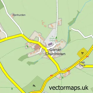
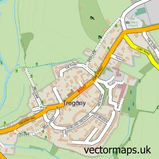
This Gorran Haven street map is a detailed vector street map covering a 750m x 750m area. Select a larger area to create and download your own vector street map of Gorran Haven.
The 750-metre map sample for Gorran Haven covers 446 mapped buildings and approximately 12.7 km of road detail, of which 22 named roads are named. The wider area around Gorran Haven features 2 food and drink venues, 1 hotel and 3 campsites within 2 miles. To create a larger or custom map of Gorran Haven, the map builder lets you define your own coverage area and download editable SVG, PDF and PNG files.
Create a larger editable map of Gorran Haven
Choose any area you need and generate a high-quality vector map instantly. Perfect for print, planning, design, business and personal use.

This Gorran Haven street map in Cornwall is available as downloadable SVG, PDF and PNG map files, or as a printed map for planning, business, display, education, local information and design work. You can also create a larger custom map area using the map selector.
What this Gorran Haven map sample shows
Gorran Haven lies within St. Goran Cp parish, part of Mevagissey ward in the Cornwall local authority area. The postcode geography for this area includes the PL postcode area, the PL26 postcode district and the PL26 6 postcode sector. Residents fall under the Nhs Cornwall And The Isles Of Scilly Integrated Care Board for NHS services.
Local features near Gorran Haven
Within 2 milesAmenities and services in and around Gorran Haven.
Administrative and postcode information for Gorran Haven
Gorran Haven lies within St. Goran Cp parish, part of Mevagissey ward in the Cornwall local authority area. The postcode geography for this area includes the PL postcode area, the PL26 postcode district and the PL26 6 postcode sector. Residents fall under the Nhs Cornwall And The Isles Of Scilly Integrated Care Board for NHS services.
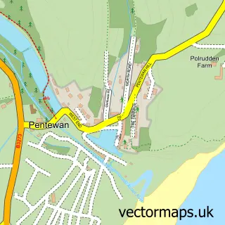
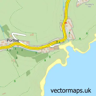
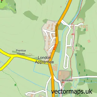
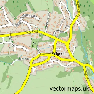
Nearby street map samples around Gorran Haven

More street maps in Cornwall
750 metre map area coverage
Boundary, postcode and point of interest information for the 750m x 750m rectangle centred on this sample map.
Boundaries containing map centre
Constituency: Truro and Falmouth Co Const
District: Cornwall
Icb: NHS Cornwall and the Isles of Scilly ICB
Parish: St. Goran CP
Police Force: devon and cornwall
Postcode District: PL26
Postcode Sector: PL26 6
Nearby boundaries intersecting sample
No additional intersecting boundaries found.
Postcode coverage
POI category counts
Beach: 3
Cafe: 2
Anglican Church: 1
Arts And Crafts: 1
Automotive Repair: 1
Bakery: 1
Boat Service And Repair: 1
British Restaurant: 1
Bus Station: 1
Caterer: 1
Sample points of interest
- St Just, Gorran Haven
- Charm Supplies
- Start Key office machines repair centre & cartridge sales
- Cakebread Bakery
- Cornwall Goran Haven
- Gorran Haven Beach
- Little Perhaver Beach
- Noott Marine
- The Haven Fish & Chips In Gorran Haven
- Gorran & District Community Bus
- Coast Path Cafe
- Mermaid Cafe
Create a larger editable map of Gorran Haven
This sample shows only a 750 metre area. To create a larger map of Gorran Haven, use our map builder to choose your own coverage area, add titles and download editable SVG, PDF and PNG files.
Create a custom map of Gorran Haven