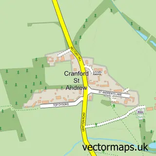
This Grafton Underwood street map is a detailed vector street map covering a 750m x 750m area. Select a larger area to create and download your own vector street map of Grafton Underwood.
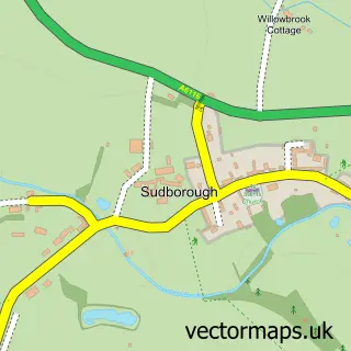
The 750-metre map sample for Grafton Underwood covers 78 mapped buildings and approximately 8.9 km of road detail. The immediate area includes 2 pubs. The wider area around Grafton Underwood features 2 food and drink venues. To create a larger or custom map of Grafton Underwood, the map builder lets you define your own coverage area and download editable SVG, PDF and PNG files.
Create a larger editable map of Grafton Underwood
Choose any area you need and generate a high-quality vector map instantly. Perfect for print, planning, design, business and personal use.

This Grafton Underwood street map in Northamptonshire is available as downloadable SVG, PDF and PNG map files, or as a printed map for planning, business, display, education, local information and design work. You can also create a larger custom map area using the map selector.
What this Grafton Underwood map sample shows
Grafton Underwood lies within Grafton Underwood Cp parish, part of Queen Eleanor And Buccleuch ward in the North Northamptonshire local authority area. The postcode geography for this area includes the NN postcode area, the NN14 postcode district and the NN14 3 postcode sector. Residents fall under the Nhs Northamptonshire Integrated Care Board for NHS services.
Local features near Grafton Underwood
Within 2 milesAmenities and services in and around Grafton Underwood.
Administrative and postcode information for Grafton Underwood
Grafton Underwood lies within Grafton Underwood Cp parish, part of Queen Eleanor And Buccleuch ward in the North Northamptonshire local authority area. The postcode geography for this area includes the NN postcode area, the NN14 postcode district and the NN14 3 postcode sector. Residents fall under the Nhs Northamptonshire Integrated Care Board for NHS services.
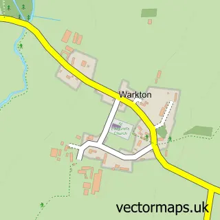
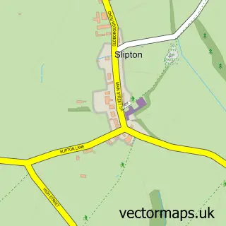
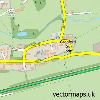
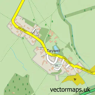
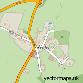
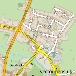
Nearby street map samples around Grafton Underwood

More street maps in Northamptonshire
750 metre map area coverage
Boundary, postcode and point of interest information for the 750m x 750m rectangle centred on this sample map.
Boundaries containing map centre
Constituency: Kettering Co Const
District: North Northamptonshire
Icb: NHS Northamptonshire ICB
Parish: Grafton Underwood CP
Police Force: northamptonshire
Postcode District: NN14
Postcode Sector: NN14 3
Ward: Geddington & Stanion Ward
Nearby boundaries intersecting sample
No additional intersecting boundaries found.
Postcode coverage
POI category counts
Pub: 2
Anglican Church: 1
Church Cathedral: 1
Contractor: 1
Flowers And Gifts Shop: 1
Kids Recreation And Party: 1
Warehouses: 1
Sample points of interest
- St James the Apostle
- St James's Church
- Cytringham Installations
- Florae Foray
- Go Ballistic Kettering
- Pig and Waffle
- The Pig & Waffle
- Northants Removals
Create a larger editable map of Grafton Underwood
This sample shows only a 750 metre area. To create a larger map of Grafton Underwood, use our map builder to choose your own coverage area, add titles and download editable SVG, PDF and PNG files.
Create a custom map of Grafton Underwood