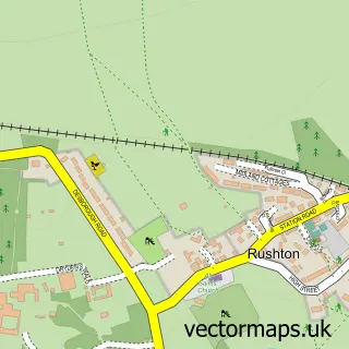
This Weekley street map is a detailed vector street map covering a 750m x 750m area. Select a larger area to create and download your own vector street map of Weekley.
The 750-metre map sample for Weekley covers 87 mapped buildings and approximately 19.1 km of road detail, of which 2 named roads are named. The immediate area includes 4 GP surgeries within 2 miles, 1 pub and 18 MOT stations within 2 miles. The wider area around Weekley features 3 food and drink venues. To create a larger or custom map of Weekley, the map builder lets you define your own coverage area and download editable SVG, PDF and PNG files.
Create a larger editable map of Weekley
Choose any area you need and generate a high-quality vector map instantly. Perfect for print, planning, design, business and personal use.

This Weekley street map in Northamptonshire is available as downloadable SVG, PDF and PNG map files, or as a printed map for planning, business, display, education, local information and design work. You can also create a larger custom map area using the map selector.
What this Weekley map sample shows
Weekley lies within Weekley Cp parish, part of Queen Eleanor And Buccleuch ward in the North Northamptonshire local authority area. The postcode geography for this area includes the NN postcode area, the NN16 postcode district and the NN16 9 postcode sector. Residents fall under the Nhs Northamptonshire Integrated Care Board for NHS services.
Local features near Weekley
Within 2 milesAmenities and services in and around Weekley.
Administrative and postcode information for Weekley
The local authority covering Weekley is North Northamptonshire, within the county of Northamptonshire. The settlement lies within Queen Eleanor And Buccleuch ward and Weekley Cp civil parish. The NN16 postcode district and NN16 9 postcode sector serve the immediate area. NHS provision in the area is delivered through Kettering General Hospital Nhs Foundation Trust.
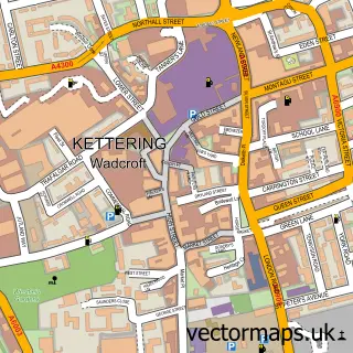
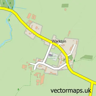
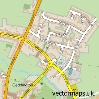
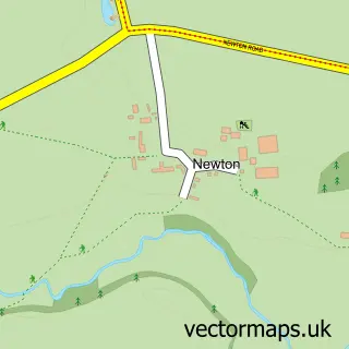
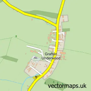
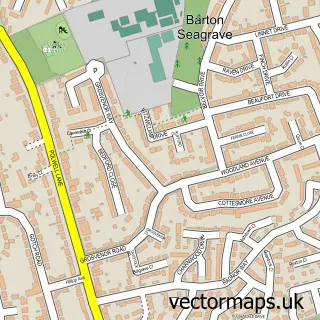
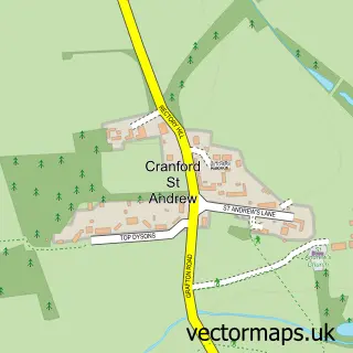
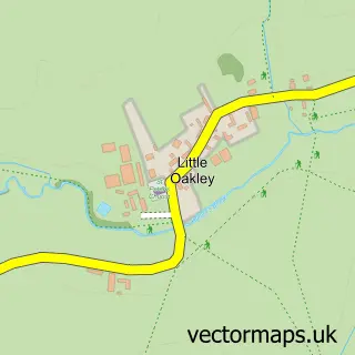
Nearby street map samples around Weekley

More street maps in Northamptonshire
750 metre map area coverage
Boundary, postcode and point of interest information for the 750m x 750m rectangle centred on this sample map.
Boundaries containing map centre
Constituency: Kettering Co Const
District: North Northamptonshire
Icb: NHS Northamptonshire ICB
Parish: Weekley CP
Police Force: northamptonshire
Postcode District: NN16
Postcode Sector: NN16 9
Ward: Geddington & Stanion Ward
Nearby boundaries intersecting sample
Postcode District: NN14
Postcode Sector: NN14 1
Postcode coverage
POI category counts
Church Cathedral: 2
Cafe: 1
Coffee Shop: 1
Community Services Non Profits: 1
Cricket Ground: 1
Forestry Service: 1
Insurance Agency: 1
Online Shop: 1
Professional Services: 1
Pub: 1
Sample points of interest
- Jessica's Tea Shop
- St Mary the Virgin
- Weekley Village
- Jessica's Tea Shop
- Save Weekley Hall Wood
- Weekley and Warkton Cricket Club
- B Q Farms
- NFU Mutual Kettering
- Bluesky Asbestos Control Ltd.
- Blue Sky Asbestos Control
- The Montagu Club
- M C Lets Limited
Create a larger editable map of Weekley
This sample shows only a 750 metre area. To create a larger map of Weekley, use our map builder to choose your own coverage area, add titles and download editable SVG, PDF and PNG files.
Create a custom map of Weekley