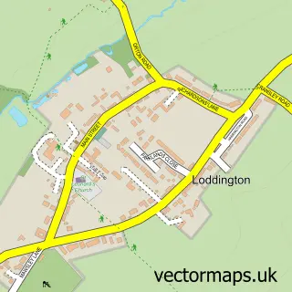
This Kettering street map is a detailed vector street map covering a 750m x 750m area. Select a larger area to create and download your own vector street map of Kettering.
The 750-metre map sample for Kettering covers 275 mapped buildings and approximately 43.1 km of road detail, of which 69 named roads are named. The immediate area includes 1 GP surgery, with 5 within 2 miles, 14 pubs and 5 MOT stations, with 30 within 2 miles. The wider area around Kettering features 7 tourism points of interest, 49 food and drink venues and 9 hotels. To create a larger or custom map of Kettering, the map builder lets you define your own coverage area and download editable SVG, PDF and PNG files.
Create a larger editable map of Kettering
Choose any area you need and generate a high-quality vector map instantly. Perfect for print, planning, design, business and personal use.

This Kettering street map in Northamptonshire is available as downloadable SVG, PDF and PNG map files, or as a printed map for planning, business, display, education, local information and design work. You can also create a larger custom map area using the map selector.
What this Kettering map sample shows
Kettering lies within North Northamptonshire parish, part of All Saints ward in the North Northamptonshire local authority area. The postcode geography for this area includes the NN postcode area, the NN16 postcode district and the NN16 8 postcode sector. Residents fall under the Nhs Northamptonshire Integrated Care Board for NHS services.
Local features near Kettering
Within 2 milesAmenities and services in and around Kettering.
Administrative and postcode information for Kettering
The local authority covering Kettering is North Northamptonshire, within the county of Northamptonshire. The settlement lies within All Saints ward and North Northamptonshire civil parish. The NN16 postcode district and NN16 8 postcode sector serve the immediate area. NHS provision in the area is delivered through Kettering General Hospital Nhs Foundation Trust.
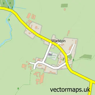
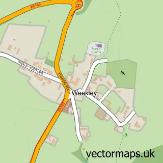
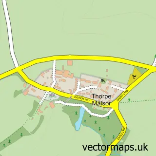
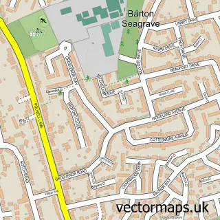
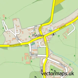
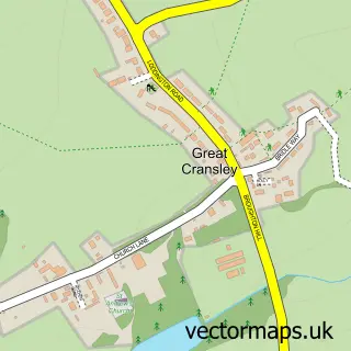
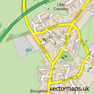
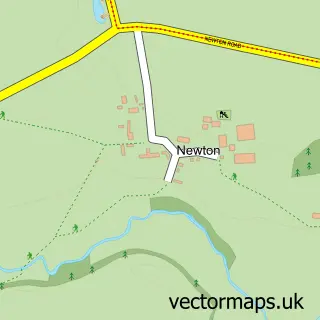
Nearby street map samples around Kettering

More street maps in Northamptonshire
750 metre map area coverage
Boundary, postcode and point of interest information for the 750m x 750m rectangle centred on this sample map.
Boundaries containing map centre
Constituency: Kettering Co Const
District: North Northamptonshire
Icb: NHS Northamptonshire ICB
Parish: Kettering Town CP
Police Force: northamptonshire
Postcode District: NN16
Postcode Sector: NN16 8
Ward: Kettering Central Ward
Nearby boundaries intersecting sample
Postcode District: NN15
Postcode Sector: NN15 7, NN16 0
Postcode coverage
POI category counts
Beauty Salon: 33
Hair Salon: 25
Real Estate Agent: 18
Clothing Store: 15
Flowers And Gifts Shop: 14
Pub: 14
Tattoo And Piercing: 14
Coffee Shop: 13
Professional Services: 13
Bar: 12
Sample points of interest
- Little House Accountants
- PHA Accountants
- S and C Legal Accounting Services
- TaxAssist Accountants
- Ceroc Kettering
- Chinese Acupuncture
- Substance to Solution
- Creative Training
- Kettering Hydroponics
- Jenny's Restaurants
- Cashino Gaming
- St Peter & St Paul Kettering
Create a larger editable map of Kettering
This sample shows only a 750 metre area. To create a larger map of Kettering, use our map builder to choose your own coverage area, add titles and download editable SVG, PDF and PNG files.
Create a custom map of Kettering