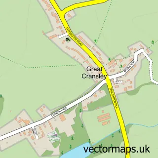
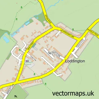
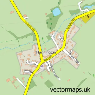
This Broughton street map is a detailed vector street map covering a 750m x 750m area. Select a larger area to create and download your own vector street map of Broughton.
The 750-metre map sample for Broughton covers 370 mapped buildings and approximately 26.8 km of road detail, of which 33 named roads are named. The immediate area includes 1 school, 1 pub and 1 MOT station within 2 miles. The wider area around Broughton features 1 food and drink venue. To create a larger or custom map of Broughton, the map builder lets you define your own coverage area and download editable SVG, PDF and PNG files.
Create a larger editable map of Broughton
Choose any area you need and generate a high-quality vector map instantly. Perfect for print, planning, design, business and personal use.

This Broughton street map in Northamptonshire is available as downloadable SVG, PDF and PNG map files, or as a printed map for planning, business, display, education, local information and design work. You can also create a larger custom map area using the map selector.
What this Broughton map sample shows
Broughton lies within Broughton Cp parish, part of Slade ward in the North Northamptonshire local authority area. The postcode geography for this area includes the NN postcode area, the NN14 postcode district and the NN14 1 postcode sector. Residents fall under the Nhs Northamptonshire Integrated Care Board for NHS services.
Local features near Broughton
Within 2 milesAmenities and services in and around Broughton.
Administrative and postcode information for Broughton
The local authority covering Broughton is North Northamptonshire, within the county of Northamptonshire. The settlement lies within Slade ward and Broughton Cp civil parish. The NN14 postcode district and NN14 1 postcode sector serve the immediate area. NHS provision in the area is delivered through Kettering General Hospital Nhs Foundation Trust.
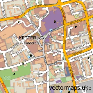
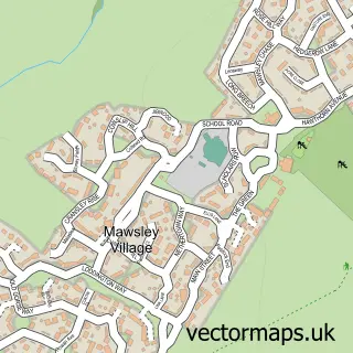
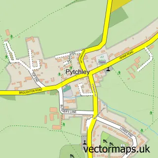
Nearby street map samples around Broughton

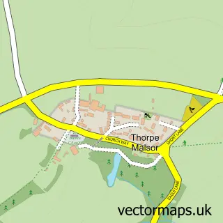
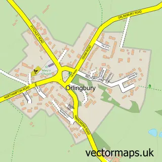
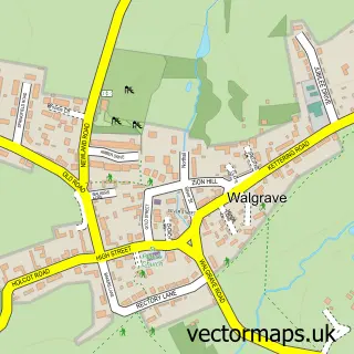
More street maps in Northamptonshire
750 metre map area coverage
Boundary, postcode and point of interest information for the 750m x 750m rectangle centred on this sample map.
Boundaries containing map centre
Constituency: Kettering Co Const
District: North Northamptonshire
Icb: NHS Northamptonshire ICB
Parish: Broughton CP
Police Force: northamptonshire
Postcode District: NN14
Postcode Sector: NN14 1
Ward: Rothwell & Mawsley Ward
Nearby boundaries intersecting sample
Parish: Cransley CP
Postcode coverage
POI category counts
Beauty Salon: 3
Church Cathedral: 2
Convenience Store: 2
Graphic Designer: 2
Accommodation: 1
Acupuncture: 1
Anglican Church: 1
Asian Restaurant: 1
Atms: 1
Bar: 1
Sample points of interest
- Skinner Acres
- Bonsai Clinic
- St Andrew, Broughton
- The Far East
- PayPoint
- The Sun Inn
- Rock Revelations
- Beauty At 78A
- Liberty's Beauty
- MC hair
- Mainland Plumbing & Heating Ltd
- Broughton Baptist Chapel
Create a larger editable map of Broughton
This sample shows only a 750 metre area. To create a larger map of Broughton, use our map builder to choose your own coverage area, add titles and download editable SVG, PDF and PNG files.
Create a custom map of Broughton