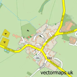
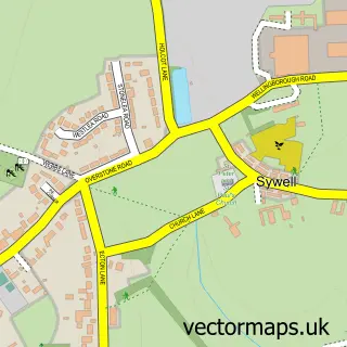
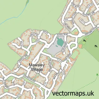
This Hannington street map is a detailed vector street map covering a 750m x 750m area. Select a larger area to create and download your own vector street map of Hannington.
The 750-metre map sample for Hannington covers 146 mapped buildings and approximately 13.5 km of road detail, of which 9 named roads are named. To create a larger or custom map of Hannington, the map builder lets you define your own coverage area and download editable SVG, PDF and PNG files.
Create a larger editable map of Hannington
Choose any area you need and generate a high-quality vector map instantly. Perfect for print, planning, design, business and personal use.

This Hannington street map in Northamptonshire is available as downloadable SVG, PDF and PNG map files, or as a printed map for planning, business, display, education, local information and design work. You can also create a larger custom map area using the map selector.
What this Hannington map sample shows
Hannington lies within Hannington Cp parish, part of Walgrave ward in the West Northamptonshire local authority area. The postcode geography for this area includes the NN postcode area, the NN6 postcode district and the NN6 9 postcode sector. Residents fall under the Nhs Northamptonshire Integrated Care Board for NHS services.
Local features near Hannington
Within 2 milesAmenities and services in and around Hannington.
Administrative and postcode information for Hannington
Hannington lies within Hannington Cp parish, part of Walgrave ward in the West Northamptonshire local authority area. The postcode geography for this area includes the NN postcode area, the NN6 postcode district and the NN6 9 postcode sector. Residents fall under the Nhs Northamptonshire Integrated Care Board for NHS services.
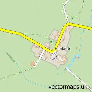
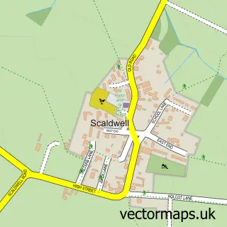
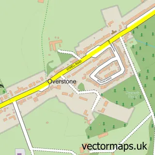
Nearby street map samples around Hannington

More street maps in Northamptonshire
750 metre map area coverage
Boundary, postcode and point of interest information for the 750m x 750m rectangle centred on this sample map.
Boundaries containing map centre
Constituency: Daventry Co Const
District: West Northamptonshire
Icb: NHS Northamptonshire ICB
Parish: Hannington CP
Police Force: northamptonshire
Postcode District: NN6
Postcode Sector: NN6 9
Ward: Rural North East Ward
Nearby boundaries intersecting sample
Parish: Walgrave CP
Postcode coverage
POI category counts
Anglican Church: 1
Automotive Repair: 1
Beauty Salon: 1
Clothing Store: 1
Horse Boarding: 1
Roofing: 1
Sample points of interest
- St Peter & St Paul, Hannington
- Mulberry Motor Company
- Millstone Beauty
- My Bamboo Limited
- Middleton Livery
- W J Marriott and Co Master Thatchers
Create a larger editable map of Hannington
This sample shows only a 750 metre area. To create a larger map of Hannington, use our map builder to choose your own coverage area, add titles and download editable SVG, PDF and PNG files.
Create a custom map of Hannington