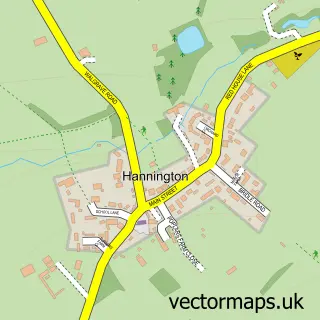
This Mawsley street map is a detailed vector street map covering a 750m x 750m area. Select a larger area to create and download your own vector street map of Mawsley.
The 750-metre map sample for Mawsley covers 405 mapped buildings and approximately 28.8 km of road detail, of which 33 named roads are named. The immediate area includes 1 school and 1 MOT station within 2 miles. The wider area around Mawsley features 1 tourism point of interest and 1 food and drink venue. To create a larger or custom map of Mawsley, the map builder lets you define your own coverage area and download editable SVG, PDF and PNG files.
Create a larger editable map of Mawsley
Choose any area you need and generate a high-quality vector map instantly. Perfect for print, planning, design, business and personal use.

This Mawsley street map in Northamptonshire is available as downloadable SVG, PDF and PNG map files, or as a printed map for planning, business, display, education, local information and design work. You can also create a larger custom map area using the map selector.
What this Mawsley map sample shows
Mawsley lies within Loddington Cp parish, part of Slade ward in the North Northamptonshire local authority area. The postcode geography for this area includes the NN postcode area, the NN6 postcode district and the NN6 9 postcode sector. Residents fall under the Nhs Northamptonshire Integrated Care Board for NHS services.
Local features near Mawsley
Within 2 milesAmenities and services in and around Mawsley.
Administrative and postcode information for Mawsley
Mawsley lies within Loddington Cp parish, part of Slade ward in the North Northamptonshire local authority area. The postcode geography for this area includes the NN postcode area, the NN6 postcode district and the NN6 9 postcode sector. Residents fall under the Nhs Northamptonshire Integrated Care Board for NHS services.
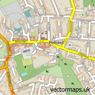
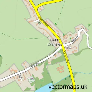
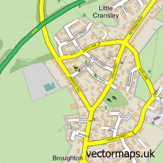
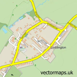
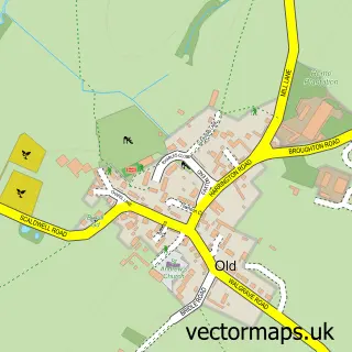
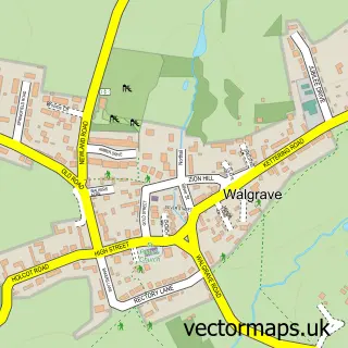
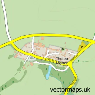
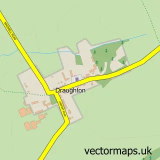
Nearby street map samples around Mawsley

More street maps in Northamptonshire
750 metre map area coverage
Boundary, postcode and point of interest information for the 750m x 750m rectangle centred on this sample map.
Boundaries containing map centre
Constituency: Kettering Co Const
District: North Northamptonshire
Icb: NHS Northamptonshire ICB
Parish: Mawsley CP
Police Force: northamptonshire
Postcode District: NN14
Postcode Sector: NN14 1
Ward: Rothwell & Mawsley Ward
Nearby boundaries intersecting sample
Parish: Cransley CP, Loddington CP
Postcode coverage
POI category counts
Beauty Salon: 4
Professional Services: 4
Doctor: 2
General Dentistry: 2
Marketing Agency: 2
Optometrist: 2
Accommodation: 1
Advertising Agency: 1
Arts And Entertainment: 1
Attractions And Activities: 1
Sample points of interest
- Wrigley Towers
- Piccolo UK Graphic Design
- Jones-McMahon Caricatures
- Mawsley Fields
- The Centre @ Mawsley (TCAM)
- Barber Harbour
- Blush Beauty
- Perfect eyes Now
- Revive Hair & Beauty at Mawsley
- The Treatment Room
- Coffee at no 9
- Kettering Asphalt - Roofing And Flooring
Create a larger editable map of Mawsley
This sample shows only a 750 metre area. To create a larger map of Mawsley, use our map builder to choose your own coverage area, add titles and download editable SVG, PDF and PNG files.
Create a custom map of Mawsley