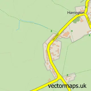
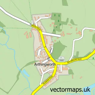
This Rothwell street map is a detailed vector street map covering a 750m x 750m area. Select a larger area to create and download your own vector street map of Rothwell.
The 750-metre map sample for Rothwell covers 470 mapped buildings and approximately 35.1 km of road detail, of which 56 named roads are named. The immediate area includes 3 schools, 1 GP surgery within 2 miles, 4 pubs and 1 MOT station, with 4 within 2 miles. The wider area around Rothwell features 4 tourism points of interest, 9 food and drink venues and 1 hotel. To create a larger or custom map of Rothwell, the map builder lets you define your own coverage area and download editable SVG, PDF and PNG files.
Create a larger editable map of Rothwell
Choose any area you need and generate a high-quality vector map instantly. Perfect for print, planning, design, business and personal use.

This Rothwell street map in Northamptonshire is available as downloadable SVG, PDF and PNG map files, or as a printed map for planning, business, display, education, local information and design work. You can also create a larger custom map area using the map selector.
What this Rothwell map sample shows
Rothwell lies within Rothwell Cp parish, part of Rothwell ward in the North Northamptonshire local authority area. The postcode geography for this area includes the NN postcode area, the NN14 postcode district and the NN14 6 postcode sector. Residents fall under the Nhs Northamptonshire Integrated Care Board for NHS services.
Local features near Rothwell
Within 2 milesAmenities and services in and around Rothwell.
Administrative and postcode information for Rothwell
Rothwell lies within Rothwell Cp parish, part of Rothwell ward in the North Northamptonshire local authority area. The postcode geography for this area includes the NN postcode area, the NN14 postcode district and the NN14 6 postcode sector. Residents fall under the Nhs Northamptonshire Integrated Care Board for NHS services.
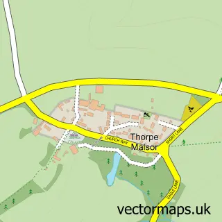
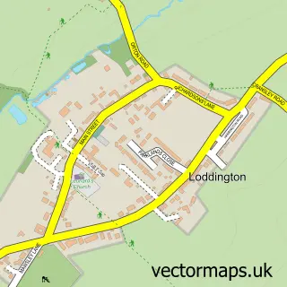
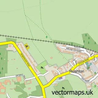
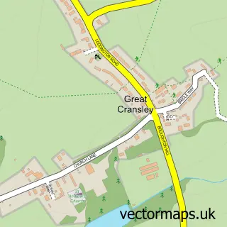
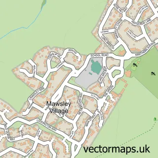
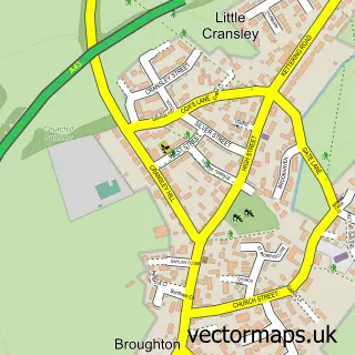
Nearby street map samples around Rothwell

More street maps in Northamptonshire
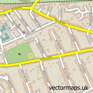
750 metre map area coverage
Boundary, postcode and point of interest information for the 750m x 750m rectangle centred on this sample map.
Boundaries containing map centre
Constituency: Kettering Co Const
District: North Northamptonshire
Icb: NHS Northamptonshire ICB
Parish: Rothwell CP
Police Force: northamptonshire
Postcode District: NN14
Postcode Sector: NN14 6
Ward: Rothwell & Mawsley Ward
Nearby boundaries intersecting sample
No additional intersecting boundaries found.
Postcode coverage
POI category counts
Hair Salon: 7
Convenience Store: 5
Fast Food Restaurant: 5
Barber: 4
Beauty Salon: 4
Church Cathedral: 4
Pub: 4
Bank Credit Union: 3
Landmark And Historical Building: 3
Real Estate Agent: 3
Sample points of interest
- Shipway & Co
- O B 2 B Industrial Marketing & P R
- Holy Trinity Parish Church
- Janet Bassett Gallery. Rothwell
- Jim Barrett Bespoke Leather
- UniqueCustomCrafts4U
- Ken Sing
- Heather Holmes
- Central England Co-Op - Rothwell (ERF)
- Harrison Supplies
- Coopers Garage
- Ned Davis Motors
Create a larger editable map of Rothwell
This sample shows only a 750 metre area. To create a larger map of Rothwell, use our map builder to choose your own coverage area, add titles and download editable SVG, PDF and PNG files.
Create a custom map of Rothwell