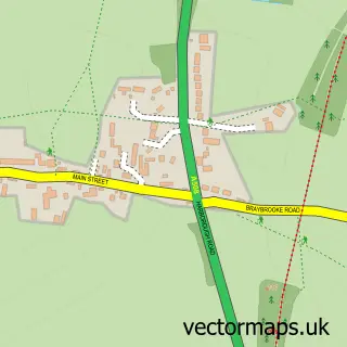
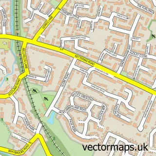
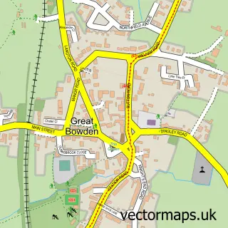
This Braybrooke street map is a detailed vector street map covering a 750m x 750m area. Select a larger area to create and download your own vector street map of Braybrooke.
The 750-metre map sample for Braybrooke covers 151 mapped buildings and approximately 14.5 km of road detail, of which 11 named roads are named. The immediate area includes 2 pubs and 2 MOT stations within 2 miles. The wider area around Braybrooke features 3 food and drink venues. To create a larger or custom map of Braybrooke, the map builder lets you define your own coverage area and download editable SVG, PDF and PNG files.
Create a larger editable map of Braybrooke
Choose any area you need and generate a high-quality vector map instantly. Perfect for print, planning, design, business and personal use.

This Braybrooke street map in Northamptonshire is available as downloadable SVG, PDF and PNG map files, or as a printed map for planning, business, display, education, local information and design work. You can also create a larger custom map area using the map selector.
What this Braybrooke map sample shows
Braybrooke lies within Braybrooke Cp parish, part of Welland ward in the North Northamptonshire local authority area. The postcode geography for this area includes the LE postcode area, the LE16 postcode district and the LE16 8 postcode sector. Residents fall under the Nhs Northamptonshire Integrated Care Board for NHS services.
Local features near Braybrooke
Within 2 milesAmenities and services in and around Braybrooke.
Administrative and postcode information for Braybrooke
The local authority covering Braybrooke is North Northamptonshire, within the county of Northamptonshire. The settlement lies within Welland ward and Braybrooke Cp civil parish. The LE16 postcode district and LE16 8 postcode sector serve the immediate area. NHS provision in the area is delivered through Kettering General Hospital Nhs Foundation Trust.
Nearby street map samples around Braybrooke

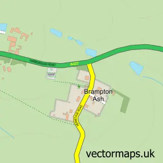
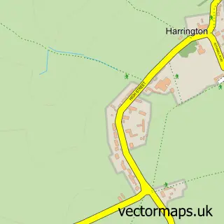
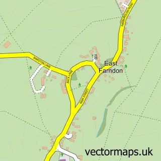
More street maps in Northamptonshire
750 metre map area coverage
Boundary, postcode and point of interest information for the 750m x 750m rectangle centred on this sample map.
Boundaries containing map centre
Constituency: Kettering Co Const
District: North Northamptonshire
Icb: NHS Northamptonshire ICB
Parish: Braybrooke CP
Police Force: northamptonshire
Postcode District: LE16
Postcode Sector: LE16 8
Ward: Desborough Ward
Nearby boundaries intersecting sample
No additional intersecting boundaries found.
Postcode coverage
POI category counts
Anglican Church: 2
Elementary School: 2
Pub: 2
Art Gallery: 1
Building Supply Store: 1
Coffee Shop: 1
Community Center: 1
Pet Groomer: 1
Retail: 1
Sample points of interest
- All Saints Braybrooke
- All Saints' Church
- Arthur Francis Sculpture
- Street Smart Cleansing
- Well Roasted Coffee
- Braybrooke Village Hall
- Braybrooke Primary School
- Wilbarston C of E Primary School
- Well Kept Dogs Grooming Studio
- Swan
- The Swan
- Gidore
Create a larger editable map of Braybrooke
This sample shows only a 750 metre area. To create a larger map of Braybrooke, use our map builder to choose your own coverage area, add titles and download editable SVG, PDF and PNG files.
Create a custom map of Braybrooke