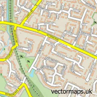
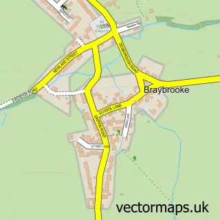
This East Farndon street map is a detailed vector street map covering a 750m x 750m area. Select a larger area to create and download your own vector street map of East Farndon.
The 750-metre map sample for East Farndon covers 103 mapped buildings and approximately 11.2 km of road detail, of which 6 named roads are named. The immediate area includes 1 GP surgery within 2 miles and 6 MOT stations within 2 miles. To create a larger or custom map of East Farndon, the map builder lets you define your own coverage area and download editable SVG, PDF and PNG files.
Create a larger editable map of East Farndon
Choose any area you need and generate a high-quality vector map instantly. Perfect for print, planning, design, business and personal use.

This East Farndon street map in Northamptonshire is available as downloadable SVG, PDF and PNG map files, or as a printed map for planning, business, display, education, local information and design work. You can also create a larger custom map area using the map selector.
What this East Farndon map sample shows
East Farndon lies within East Farndon Cp parish, part of Welford ward in the West Northamptonshire local authority area. The postcode geography for this area includes the LE postcode area, the LE16 postcode district and the LE16 9 postcode sector. Residents fall under the Nhs Northamptonshire Integrated Care Board for NHS services.
Local features near East Farndon
Within 2 milesAmenities and services in and around East Farndon.
Administrative and postcode information for East Farndon
The local authority covering East Farndon is West Northamptonshire, within the county of Northamptonshire. The settlement lies within Welford ward and East Farndon Cp civil parish. The LE16 postcode district and LE16 9 postcode sector serve the immediate area. NHS provision in the area is delivered through Kettering General Hospital Nhs Foundation Trust.
Nearby street map samples around East Farndon
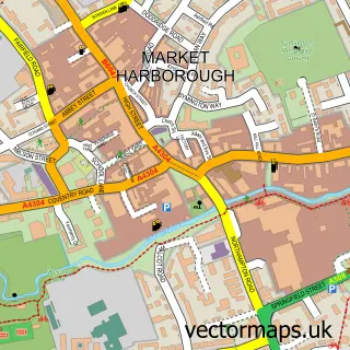

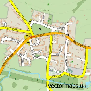
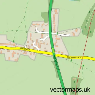
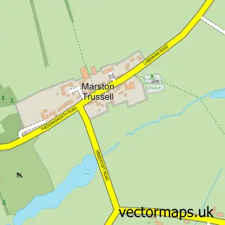
More street maps in Northamptonshire
750 metre map area coverage
Boundary, postcode and point of interest information for the 750m x 750m rectangle centred on this sample map.
Boundaries containing map centre
Constituency: Daventry Co Const
District: West Northamptonshire
Icb: NHS Northamptonshire ICB
Parish: East Farndon CP
Police Force: northamptonshire
Postcode District: LE16
Postcode Sector: LE16 9
Ward: Rural North East Ward
Nearby boundaries intersecting sample
No additional intersecting boundaries found.
Postcode coverage
POI category counts
Anglican Church: 1
Beauty And Spa: 1
Church Cathedral: 1
Community Services Non Profits: 1
Gardener: 1
Reflexology: 1
Traditional Clothing: 1
Veterinarian: 1
Weight Loss Center: 1
Sample points of interest
- St John the Baptist, East Farndon
- Reflections Beauty room
- St John the Baptist Church
- East Farndon Village
- Kibworth Garden Design & Landscapes
- Barefoot Holistics - Clinical Reflexology and Foot Health
- Curtains Complete
- The Little Explorers Activity Club CIC
- Lucie Coe Independent Weight Loss Consultant
Create a larger editable map of East Farndon
This sample shows only a 750 metre area. To create a larger map of East Farndon, use our map builder to choose your own coverage area, add titles and download editable SVG, PDF and PNG files.
Create a custom map of East Farndon