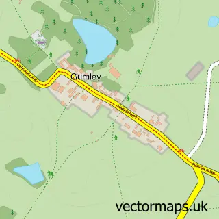
This Lubenham street map is a detailed vector street map covering a 750m x 750m area. Select a larger area to create and download your own vector street map of Lubenham.
The 750-metre map sample for Lubenham covers 273 mapped buildings and approximately 33.2 km of road detail, of which 22 named roads are named. The immediate area includes 1 school, 1 GP surgery within 2 miles, 1 pub and 5 MOT stations within 2 miles. The wider area around Lubenham features 2 food and drink venues. To create a larger or custom map of Lubenham, the map builder lets you define your own coverage area and download editable SVG, PDF and PNG files.
Create a larger editable map of Lubenham
Choose any area you need and generate a high-quality vector map instantly. Perfect for print, planning, design, business and personal use.

This Lubenham street map in Leicestershire is available as downloadable SVG, PDF and PNG map files, or as a printed map for planning, business, display, education, local information and design work. You can also create a larger custom map area using the map selector.
What this Lubenham map sample shows
Lubenham lies within Lubenham Cp parish, part of Lubenham ward in the Harborough District local authority area. The postcode geography for this area includes the LE postcode area, the LE16 postcode district and the LE16 9 postcode sector. Residents fall under the Nhs Leicester, Leicestershire And Rutland Integrated Care Board for NHS services.
Local features near Lubenham
Within 2 milesAmenities and services in and around Lubenham.
Administrative and postcode information for Lubenham
Lubenham lies within Lubenham Cp parish, part of Lubenham ward in the Harborough District local authority area. The postcode geography for this area includes the LE postcode area, the LE16 postcode district and the LE16 9 postcode sector. Residents fall under the Nhs Leicester, Leicestershire And Rutland Integrated Care Board for NHS services.
Nearby street map samples around Lubenham
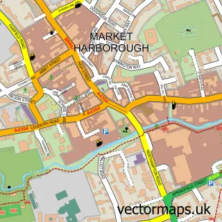

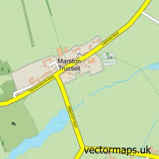
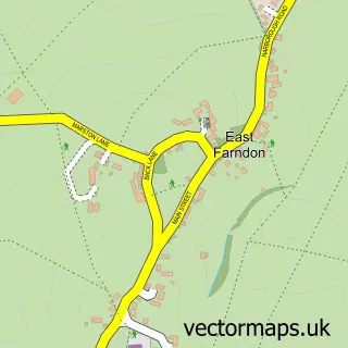
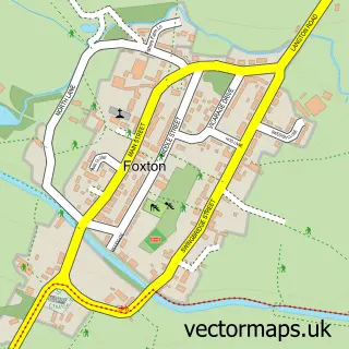
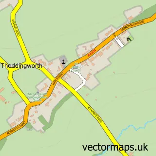
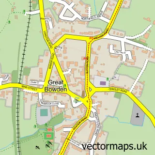

More street maps in Leicestershire
750 metre map area coverage
Boundary, postcode and point of interest information for the 750m x 750m rectangle centred on this sample map.
Boundaries containing map centre
Constituency: Harborough, Oadby and Wigston Co Const
County: Leicestershire County
District: Harborough District
Icb: NHS Leicester Leicestershire and Rutland ICB
Parish: Lubenham CP
Police Force: leicestershire
Postcode District: LE16
Postcode Sector: LE16 9
Ward: Lubenham Ward
Nearby boundaries intersecting sample
Constituency: Daventry Co Const
District: West Northamptonshire
Icb: NHS Northamptonshire ICB
Parish: Marston Trussell CP
Police Force: northamptonshire
Ward: Rural North East Ward
Postcode coverage
POI category counts
Bridal Shop: 2
Anglican Church: 1
Architectural Designer: 1
Arts And Entertainment: 1
Bar: 1
Bed And Breakfast: 1
Building Supply Store: 1
Business Management Services: 1
Coffee Shop: 1
Community Center: 1
Sample points of interest
- All Saints, Lubenham
- Lloyd Harden Design
- Everards Brewery
- Cherry Tree
- Gore Lodge Guest House
- Courtyard Bridal Boutique
- Courtyard Bridal Boutique
- Pest Control Assist
- Apograph
- Totty Teas Old English Tea Rooms
- Lubenham Village Hall
- Apograph Ltd
Create a larger editable map of Lubenham
This sample shows only a 750 metre area. To create a larger map of Lubenham, use our map builder to choose your own coverage area, add titles and download editable SVG, PDF and PNG files.
Create a custom map of Lubenham