This Foxton street map is a detailed vector street map covering a 750m x 750m area. Select a larger area to create and download your own vector street map of Foxton.
The 750-metre map sample for Foxton covers 211 mapped buildings and approximately 18.7 km of road detail, of which 10 named roads are named. The immediate area includes 3 pubs and 1 MOT station within 2 miles. The wider area around Foxton features 3 food and drink venues and 1 hotel. To create a larger or custom map of Foxton, the map builder lets you define your own coverage area and download editable SVG, PDF and PNG files.
Create a larger editable map of Foxton
Choose any area you need and generate a high-quality vector map instantly. Perfect for print, planning, design, business and personal use.

This Foxton street map in Leicestershire is available as downloadable SVG, PDF and PNG map files, or as a printed map for planning, business, display, education, local information and design work. You can also create a larger custom map area using the map selector.
What this Foxton map sample shows
Foxton lies within Foxton Cp parish, part of Lubenham ward in the Harborough District local authority area. The postcode geography for this area includes the LE postcode area, the LE16 postcode district and the LE16 7 postcode sector. Residents fall under the Nhs Leicester, Leicestershire And Rutland Integrated Care Board for NHS services.
Local features near Foxton
Within 2 milesAmenities and services in and around Foxton.
Administrative and postcode information for Foxton
The local authority covering Foxton is Harborough District, within the county of Leicestershire. The settlement lies within Lubenham ward and Foxton Cp civil parish. The LE16 postcode district and LE16 7 postcode sector serve the immediate area. NHS provision in the area is delivered through University Hospitals Of Leicester Nhs Trust.
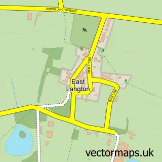
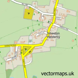
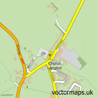
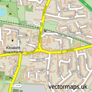
Nearby street map samples around Foxton
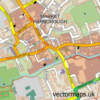

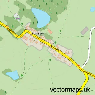
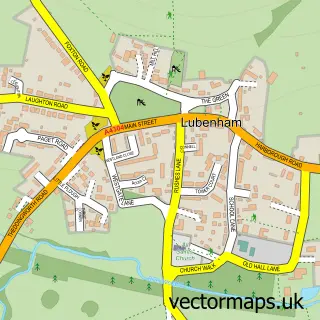
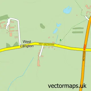

More street maps in Leicestershire
750 metre map area coverage
Boundary, postcode and point of interest information for the 750m x 750m rectangle centred on this sample map.
Boundaries containing map centre
Constituency: Harborough, Oadby and Wigston Co Const
County: Leicestershire County
District: Harborough District
Icb: NHS Leicester Leicestershire and Rutland ICB
Parish: Foxton CP
Police Force: leicestershire
Postcode District: LE16
Postcode Sector: LE16 7
Ward: Lubenham Ward
Nearby boundaries intersecting sample
No additional intersecting boundaries found.
Postcode coverage
POI category counts
Pub: 3
Financial Service: 2
Music School: 2
Retail: 2
Scout Hall: 2
Advertising Agency: 1
American Restaurant: 1
Anglican Church: 1
Business: 1
Church Cathedral: 1
Sample points of interest
- Justin Carter
- Texas Steakhouse Ltd
- Foxton: St Andrew
- Rural Trading Ltd
- St Andrew's Church
- Kay Hoggett Counselling
- Little Me Nurseries Ltd.
- Richard Billington I F a
- SSAS Practitioner.com Limited
- Foxton Locks Lodges
- Nick Redfern Music
- Studio 34
Create a larger editable map of Foxton
This sample shows only a 750 metre area. To create a larger map of Foxton, use our map builder to choose your own coverage area, add titles and download editable SVG, PDF and PNG files.
Create a custom map of Foxton