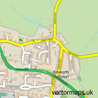
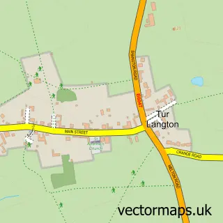
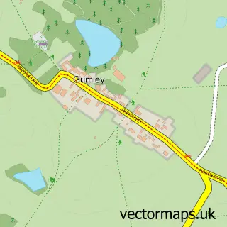
This Kibworth Beauchamp street map is a detailed vector street map covering a 750m x 750m area. Select a larger area to create and download your own vector street map of Kibworth Beauchamp.
The 750-metre map sample for Kibworth Beauchamp covers 495 mapped buildings and approximately 32.1 km of road detail, of which 40 named roads are named. The immediate area includes 1 GP surgery, 2 pubs and 2 MOT stations within 2 miles. The wider area around Kibworth Beauchamp features 4 food and drink venues. To create a larger or custom map of Kibworth Beauchamp, the map builder lets you define your own coverage area and download editable SVG, PDF and PNG files.
Create a larger editable map of Kibworth Beauchamp
Choose any area you need and generate a high-quality vector map instantly. Perfect for print, planning, design, business and personal use.

This Kibworth Beauchamp street map in Leicestershire is available as downloadable SVG, PDF and PNG map files, or as a printed map for planning, business, display, education, local information and design work. You can also create a larger custom map area using the map selector.
What this Kibworth Beauchamp map sample shows
Kibworth Beauchamp lies within Kibworth Beauchamp Cp parish, part of Kibworths ward in the Harborough District local authority area. The postcode geography for this area includes the LE postcode area, the LE8 postcode district and the LE8 0 postcode sector. Residents fall under the Nhs Leicester, Leicestershire And Rutland Integrated Care Board for NHS services.
Local features near Kibworth Beauchamp
Within 2 milesAmenities and services in and around Kibworth Beauchamp.
Administrative and postcode information for Kibworth Beauchamp
Kibworth Beauchamp lies within Kibworth Beauchamp Cp parish, part of Kibworths ward in the Harborough District local authority area. The postcode geography for this area includes the LE postcode area, the LE8 postcode district and the LE8 0 postcode sector. Residents fall under the Nhs Leicester, Leicestershire And Rutland Integrated Care Board for NHS services.
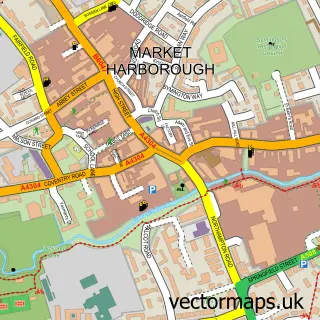
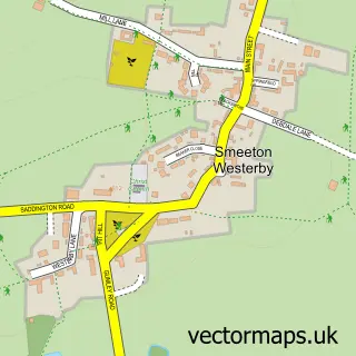
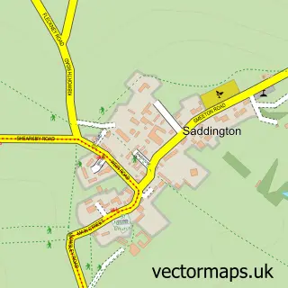
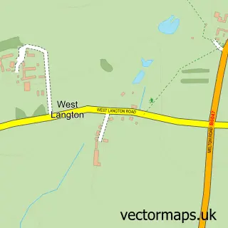
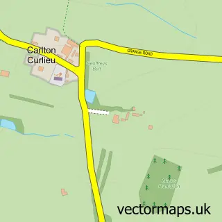
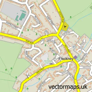
Nearby street map samples around Kibworth Beauchamp

More street maps in Leicestershire
750 metre map area coverage
Boundary, postcode and point of interest information for the 750m x 750m rectangle centred on this sample map.
Boundaries containing map centre
Constituency: Harborough, Oadby and Wigston Co Const
County: Leicestershire County
District: Harborough District
Icb: NHS Leicester Leicestershire and Rutland ICB
Parish: Kibworth Beauchamp CP
Police Force: leicestershire
Postcode District: LE8
Postcode Sector: LE8 0
Ward: Kibworths Ward
Nearby boundaries intersecting sample
Parish: Kibworth Harcourt CP
Postcode coverage
POI category counts
Beauty Salon: 4
Doctor: 4
Professional Services: 4
Veterinarian: 4
Atms: 3
Dentist: 3
Financial Service: 3
Liquor Store: 3
Real Estate Agent: 3
Assisted Living Facility: 2
Sample points of interest
- Kibworth Community Orchard
- Leicestershire Wildlife Hospital
- White Street Gallery
- Tactile
- H F T
- Self Unlimited
- ATM (Post Office)
- Atm
- Central England Co-Op - Kibworth (new), Kibworth Beauchamp
- Micheal Mays Consultancy
- Clarkes Accident Repair Centres
- Natures Purest
Create a larger editable map of Kibworth Beauchamp
This sample shows only a 750 metre area. To create a larger map of Kibworth Beauchamp, use our map builder to choose your own coverage area, add titles and download editable SVG, PDF and PNG files.
Create a custom map of Kibworth Beauchamp