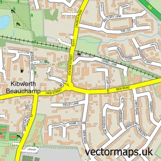
This Kibworth Harcourt street map is a detailed vector street map covering a 750m x 750m area. Select a larger area to create and download your own vector street map of Kibworth Harcourt.
The 750-metre map sample for Kibworth Harcourt covers 249 mapped buildings and approximately 25.6 km of road detail, of which 19 named roads are named. The immediate area includes 1 school, 1 GP surgery within 2 miles, 3 pubs and 2 MOT stations within 2 miles. The wider area around Kibworth Harcourt features 1 tourism point of interest and 4 food and drink venues. To create a larger or custom map of Kibworth Harcourt, the map builder lets you define your own coverage area and download editable SVG, PDF and PNG files.
Create a larger editable map of Kibworth Harcourt
Choose any area you need and generate a high-quality vector map instantly. Perfect for print, planning, design, business and personal use.

This Kibworth Harcourt street map in Leicestershire is available as downloadable SVG, PDF and PNG map files, or as a printed map for planning, business, display, education, local information and design work. You can also create a larger custom map area using the map selector.
What this Kibworth Harcourt map sample shows
Kibworth Harcourt lies within Kibworth Harcourt Cp parish, part of Kibworths ward in the Harborough District local authority area. The postcode geography for this area includes the LE postcode area, the LE8 postcode district and the LE8 0 postcode sector. Residents fall under the Nhs Leicester, Leicestershire And Rutland Integrated Care Board for NHS services.
Local features near Kibworth Harcourt
Within 2 milesAmenities and services in and around Kibworth Harcourt.
Administrative and postcode information for Kibworth Harcourt
The local authority covering Kibworth Harcourt is Harborough District, within the county of Leicestershire. The settlement lies within Kibworths ward and Kibworth Harcourt Cp civil parish. The LE8 postcode district and LE8 0 postcode sector serve the immediate area. NHS provision in the area is delivered through University Hospitals Of Leicester Nhs Trust.
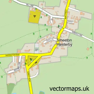
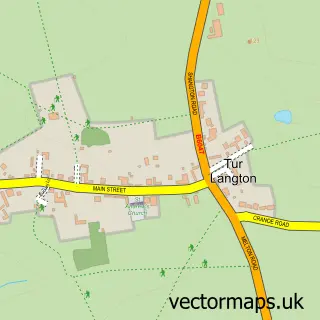
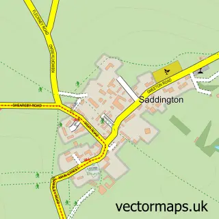
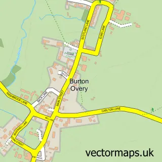
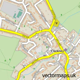
Nearby street map samples around Kibworth Harcourt


More street maps in Leicestershire
750 metre map area coverage
Boundary, postcode and point of interest information for the 750m x 750m rectangle centred on this sample map.
Boundaries containing map centre
Constituency: Harborough, Oadby and Wigston Co Const
County: Leicestershire County
District: Harborough District
Icb: NHS Leicester Leicestershire and Rutland ICB
Parish: Kibworth Harcourt CP
Police Force: leicestershire
Postcode District: LE8
Postcode Sector: LE8 0
Ward: Kibworths Ward
Nearby boundaries intersecting sample
Parish: Kibworth Beauchamp CP
Postcode coverage
POI category counts
Pub: 3
Anglican Church: 2
Clothing Store: 2
Italian Restaurant: 2
Antique Store: 1
Automotive Repair: 1
Beauty And Spa: 1
Beauty Product Supplier: 1
Bed And Breakfast: 1
Building Supply Store: 1
Sample points of interest
- Kibworth: St Wilfrid's
- St Wilfrid's Church
- Albert's Selling PAGE
- Dent-Alert
- Joseph Davies Barbering
- Minarik Hair
- Carlton Corner Bed & Breakfast
- French Bros
- Peony Cafe
- Kibworth Harcourt Castle
- Francesca
- Kibworth Emporium
Create a larger editable map of Kibworth Harcourt
This sample shows only a 750 metre area. To create a larger map of Kibworth Harcourt, use our map builder to choose your own coverage area, add titles and download editable SVG, PDF and PNG files.
Create a custom map of Kibworth Harcourt