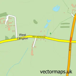
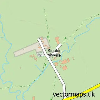
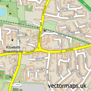
This Tur Langton street map is a detailed vector street map covering a 750m x 750m area. Select a larger area to create and download your own vector street map of Tur Langton.
The 750-metre map sample for Tur Langton covers 99 mapped buildings and approximately 16.0 km of road detail, of which 5 named roads are named. The immediate area includes 1 pub and 1 MOT station within 2 miles. The wider area around Tur Langton features 1 food and drink venue. To create a larger or custom map of Tur Langton, the map builder lets you define your own coverage area and download editable SVG, PDF and PNG files.
Create a larger editable map of Tur Langton
Choose any area you need and generate a high-quality vector map instantly. Perfect for print, planning, design, business and personal use.

This Tur Langton street map in Leicestershire is available as downloadable SVG, PDF and PNG map files, or as a printed map for planning, business, display, education, local information and design work. You can also create a larger custom map area using the map selector.
What this Tur Langton map sample shows
Tur Langton lies within Tur Langton Cp parish, part of Kibworths ward in the Harborough District local authority area. The postcode geography for this area includes the LE postcode area, the LE8 postcode district and the LE8 0 postcode sector. Residents fall under the Nhs Leicester, Leicestershire And Rutland Integrated Care Board for NHS services.
Local features near Tur Langton
Within 2 milesAmenities and services in and around Tur Langton.
Administrative and postcode information for Tur Langton
Tur Langton lies within Tur Langton Cp parish, part of Kibworths ward in the Harborough District local authority area. The postcode geography for this area includes the LE postcode area, the LE8 postcode district and the LE8 0 postcode sector. Residents fall under the Nhs Leicester, Leicestershire And Rutland Integrated Care Board for NHS services.
Nearby street map samples around Tur Langton
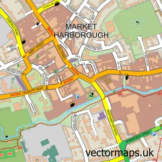

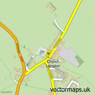
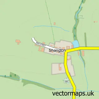
More street maps in Leicestershire
750 metre map area coverage
Boundary, postcode and point of interest information for the 750m x 750m rectangle centred on this sample map.
Boundaries containing map centre
Constituency: Harborough, Oadby and Wigston Co Const
County: Leicestershire County
District: Harborough District
Icb: NHS Leicester Leicestershire and Rutland ICB
Parish: Tur Langton CP
Police Force: leicestershire
Postcode District: LE8
Postcode Sector: LE8 0
Ward: Kibworths Ward
Nearby boundaries intersecting sample
No additional intersecting boundaries found.
Postcode coverage
POI category counts
Anglican Church: 1
Auto Electrical Repair: 1
Beauty And Spa: 1
Caterer: 1
Contractor: 1
Counseling And Mental Health: 1
Electronics: 1
Event Technology Service: 1
Furniture Store: 1
Home Goods Store: 1
Sample points of interest
- Tur Langton: St Andrew
- S W I Security Concepts
- The Manor Salon
- Thomas the Caterer
- Kibworth Fencing
- My Wellness Counselling
- Westwood Associates
- Funky Tents
- Bunny & Clarke
- Golden Souk Ltd
- Michael Gerard & Co
- Lemon Jelly Arts
Create a larger editable map of Tur Langton
This sample shows only a 750 metre area. To create a larger map of Tur Langton, use our map builder to choose your own coverage area, add titles and download editable SVG, PDF and PNG files.
Create a custom map of Tur Langton