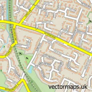
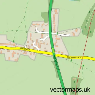
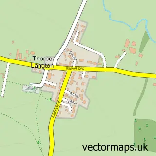
This Market Harborough street map is a detailed vector street map covering a 750m x 750m area. Select a larger area to create and download your own vector street map of Market Harborough.
The 750-metre map sample for Market Harborough covers 336 mapped buildings and approximately 29.6 km of road detail, of which 36 named roads are named. The immediate area includes 1 school, 1 GP surgery, 6 pubs and 1 MOT station, with 9 within 2 miles. The wider area around Market Harborough features 3 tourism points of interest, 38 food and drink venues and 6 hotels. To create a larger or custom map of Market Harborough, the map builder lets you define your own coverage area and download editable SVG, PDF and PNG files.
Create a larger editable map of Market Harborough
Choose any area you need and generate a high-quality vector map instantly. Perfect for print, planning, design, business and personal use.

This Market Harborough street map in Leicestershire is available as downloadable SVG, PDF and PNG map files, or as a printed map for planning, business, display, education, local information and design work. You can also create a larger custom map area using the map selector.
What this Market Harborough map sample shows
Market Harborough lies within Leicestershire County parish, part of Market Harborough-Great Bowden & Arden ward in the Harborough District local authority area. The postcode geography for this area includes the LE postcode area, the LE16 postcode district and the LE16 7 postcode sector. Residents fall under the Nhs Leicester, Leicestershire And Rutland Integrated Care Board for NHS services.
Local features near Market Harborough
Within 2 milesAmenities and services in and around Market Harborough.
Administrative and postcode information for Market Harborough
Market Harborough lies within Leicestershire County parish, part of Market Harborough-Great Bowden & Arden ward in the Harborough District local authority area. The postcode geography for this area includes the LE postcode area, the LE16 postcode district and the LE16 7 postcode sector. Residents fall under the Nhs Leicester, Leicestershire And Rutland Integrated Care Board for NHS services.
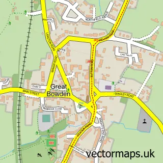
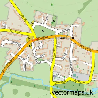
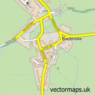
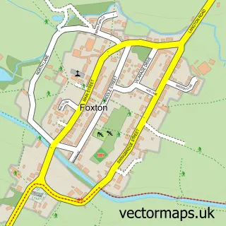
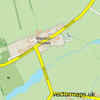
Nearby street map samples around Market Harborough


More street maps in Leicestershire
750 metre map area coverage
Boundary, postcode and point of interest information for the 750m x 750m rectangle centred on this sample map.
Boundaries containing map centre
Constituency: Harborough, Oadby and Wigston Co Const
County: Leicestershire County
District: Harborough District
Icb: NHS Leicester Leicestershire and Rutland ICB
Police Force: leicestershire
Postcode District: LE16
Postcode Sector: LE16 7
Nearby boundaries intersecting sample
Postcode Sector: LE16 8, LE16 9
Ward: Market Harborough-Great Bowden & Arden Ward, Market Harborough-Little Bowden Ward, Market Harborough-Logan Ward, Market Harborough-Welland Ward
Postcode coverage
POI category counts
Hair Salon: 28
Professional Services: 26
Clothing Store: 24
Beauty Salon: 22
Real Estate Agent: 19
Flowers And Gifts Shop: 16
Barber: 15
Cafe: 15
Furniture Store: 12
Jewelry Store: 12
Sample points of interest
- Berry Accountants
- Focal Business Group
- The Business Hut
- Curves
- Tjfitness Market Harborough
- Mary Thornton Acupuncture
- Oriental Healing
- Falcon Marketing Ltd
- Force Four
- Jim Watts Signs
- LWP R
- Pewter Design Associates
Create a larger editable map of Market Harborough
This sample shows only a 750 metre area. To create a larger map of Market Harborough, use our map builder to choose your own coverage area, add titles and download editable SVG, PDF and PNG files.
Create a custom map of Market Harborough