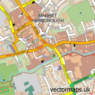
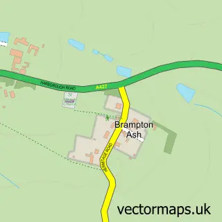
This Little Bowden street map is a detailed vector street map covering a 750m x 750m area. Select a larger area to create and download your own vector street map of Little Bowden.
The 750-metre map sample for Little Bowden covers 591 mapped buildings and approximately 38.1 km of road detail, of which 48 named roads are named. The immediate area includes 1 GP surgery within 2 miles and 9 MOT stations within 2 miles. The wider area around Little Bowden features 2 tourism points of interest. To create a larger or custom map of Little Bowden, the map builder lets you define your own coverage area and download editable SVG, PDF and PNG files.
Create a larger editable map of Little Bowden
Choose any area you need and generate a high-quality vector map instantly. Perfect for print, planning, design, business and personal use.

This Little Bowden street map in Leicestershire is available as downloadable SVG, PDF and PNG map files, or as a printed map for planning, business, display, education, local information and design work. You can also create a larger custom map area using the map selector.
What this Little Bowden map sample shows
Little Bowden lies within Leicestershire County parish, part of Market Harborough-Great Bowden & Arden ward in the Harborough District local authority area. The postcode geography for this area includes the LE postcode area, the LE16 postcode district and the LE16 7 postcode sector. Residents fall under the Nhs Leicester, Leicestershire And Rutland Integrated Care Board for NHS services.
Local features near Little Bowden
Within 2 milesAmenities and services in and around Little Bowden.
Administrative and postcode information for Little Bowden
Little Bowden lies within Leicestershire County parish, part of Market Harborough-Great Bowden & Arden ward in the Harborough District local authority area. The postcode geography for this area includes the LE postcode area, the LE16 postcode district and the LE16 7 postcode sector. Residents fall under the Nhs Leicester, Leicestershire And Rutland Integrated Care Board for NHS services.
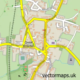
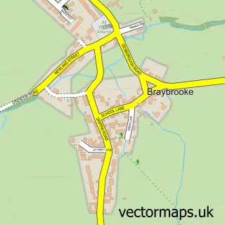
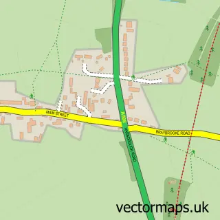
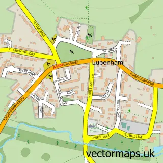
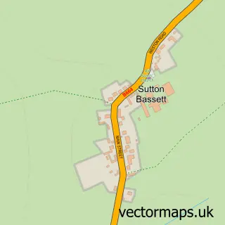
Nearby street map samples around Little Bowden

More street maps in Leicestershire
750 metre map area coverage
Boundary, postcode and point of interest information for the 750m x 750m rectangle centred on this sample map.
Boundaries containing map centre
Constituency: Harborough, Oadby and Wigston Co Const
County: Leicestershire County
District: Harborough District
Icb: NHS Leicester Leicestershire and Rutland ICB
Police Force: leicestershire
Postcode District: LE16
Postcode Sector: LE16 8
Ward: Market Harborough-Little Bowden Ward
Nearby boundaries intersecting sample
Postcode Sector: LE16 7
Postcode coverage
POI category counts
Construction Services: 2
Retail: 2
Web Designer: 2
Advertising Agency: 1
Arts And Entertainment: 1
Auto Electrical Repair: 1
B2b Machinery And Tools: 1
Bar: 1
Business Management Services: 1
Business To Business: 1
Sample points of interest
- Burghley Sports
- Greyhound Inn
- Smartview TV Aerials
- Em Secure
- Captain Jaff's Bar
- Onwards Energy
- Seven Star Promotions
- MH Hand Car Wash
- Richard Parr & Son
- Parish of St Nicholas and St Hugh, Little Bowden
- Kinchen Building Services
- N J C Construction
Create a larger editable map of Little Bowden
This sample shows only a 750 metre area. To create a larger map of Little Bowden, use our map builder to choose your own coverage area, add titles and download editable SVG, PDF and PNG files.
Create a custom map of Little Bowden