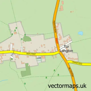
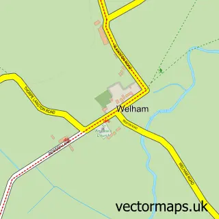
This East Langton street map is a detailed vector street map covering a 750m x 750m area. Select a larger area to create and download your own vector street map of East Langton.
The 750-metre map sample for East Langton covers 74 mapped buildings and approximately 15.4 km of road detail, of which 4 named roads are named. The immediate area includes 2 pubs. The wider area around East Langton features 2 food and drink venues. To create a larger or custom map of East Langton, the map builder lets you define your own coverage area and download editable SVG, PDF and PNG files.
Create a larger editable map of East Langton
Choose any area you need and generate a high-quality vector map instantly. Perfect for print, planning, design, business and personal use.

This East Langton street map in Leicestershire is available as downloadable SVG, PDF and PNG map files, or as a printed map for planning, business, display, education, local information and design work. You can also create a larger custom map area using the map selector.
What this East Langton map sample shows
East Langton lies within East Langton Cp parish, part of Kibworths ward in the Harborough District local authority area. The postcode geography for this area includes the LE postcode area, the LE16 postcode district and the LE16 7 postcode sector. Residents fall under the Nhs Leicester, Leicestershire And Rutland Integrated Care Board for NHS services.
Local features near East Langton
Within 2 milesAmenities and services in and around East Langton.
Administrative and postcode information for East Langton
The local authority covering East Langton is Harborough District, within the county of Leicestershire. The settlement lies within Kibworths ward and East Langton Cp civil parish. The LE16 postcode district and LE16 7 postcode sector serve the immediate area. NHS provision in the area is delivered through University Hospitals Of Leicester Nhs Trust.
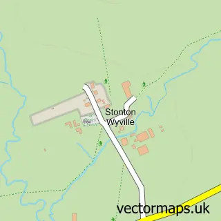
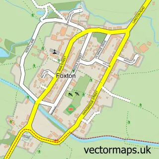
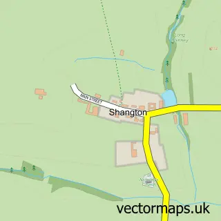
Nearby street map samples around East Langton
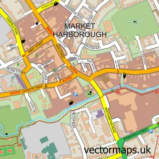

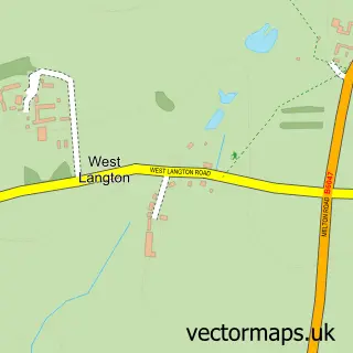
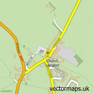
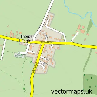
More street maps in Leicestershire
750 metre map area coverage
Boundary, postcode and point of interest information for the 750m x 750m rectangle centred on this sample map.
Boundaries containing map centre
Constituency: Harborough, Oadby and Wigston Co Const
County: Leicestershire County
District: Harborough District
Icb: NHS Leicester Leicestershire and Rutland ICB
Parish: East Langton CP
Police Force: leicestershire
Postcode District: LE16
Postcode Sector: LE16 7
Ward: Kibworths Ward
Nearby boundaries intersecting sample
No additional intersecting boundaries found.
Postcode coverage
POI category counts
Pub: 2
Business: 1
Carpenter: 1
Caterer: 1
Commercial Real Estate: 1
Environmental Conservation Organization: 1
Interior Design: 1
Printing Services: 1
Sports Club And League: 1
Tax Services: 1
Sample points of interest
- Ivy Link Partnership
- Malthouse Furniture & Joinery
- Provision Catering Europe
- Intali
- Heritage Archaeology
- The Attic Room Design
- The Printing Room
- The Bell East Langton
- The Bell Inn
- Langton Cricket Club
- Byford Pollard & Co.
Create a larger editable map of East Langton
This sample shows only a 750 metre area. To create a larger map of East Langton, use our map builder to choose your own coverage area, add titles and download editable SVG, PDF and PNG files.
Create a custom map of East Langton