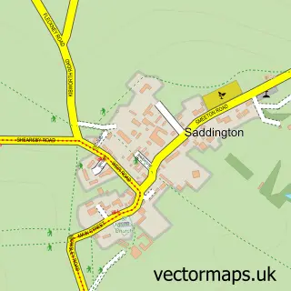
This Smeeton Westerby street map is a detailed vector street map covering a 750m x 750m area. Select a larger area to create and download your own vector street map of Smeeton Westerby.
The 750-metre map sample for Smeeton Westerby covers 143 mapped buildings and approximately 17.5 km of road detail, of which 11 named roads are named. The immediate area includes 1 GP surgery within 2 miles, 2 pubs and 2 MOT stations within 2 miles. The wider area around Smeeton Westerby features 2 food and drink venues and 1 campsite within 2 miles. To create a larger or custom map of Smeeton Westerby, the map builder lets you define your own coverage area and download editable SVG, PDF and PNG files.
Create a larger editable map of Smeeton Westerby
Choose any area you need and generate a high-quality vector map instantly. Perfect for print, planning, design, business and personal use.

This Smeeton Westerby street map in Leicestershire is available as downloadable SVG, PDF and PNG map files, or as a printed map for planning, business, display, education, local information and design work. You can also create a larger custom map area using the map selector.
What this Smeeton Westerby map sample shows
Smeeton Westerby lies within Smeeton Westerby Cp parish, part of Kibworths ward in the Harborough District local authority area. The postcode geography for this area includes the LE postcode area, the LE8 postcode district and the LE8 0 postcode sector. Residents fall under the Nhs Leicester, Leicestershire And Rutland Integrated Care Board for NHS services.
Local features near Smeeton Westerby
Within 2 milesAmenities and services in and around Smeeton Westerby.
Administrative and postcode information for Smeeton Westerby
Smeeton Westerby lies within Smeeton Westerby Cp parish, part of Kibworths ward in the Harborough District local authority area. The postcode geography for this area includes the LE postcode area, the LE8 postcode district and the LE8 0 postcode sector. Residents fall under the Nhs Leicester, Leicestershire And Rutland Integrated Care Board for NHS services.
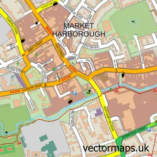
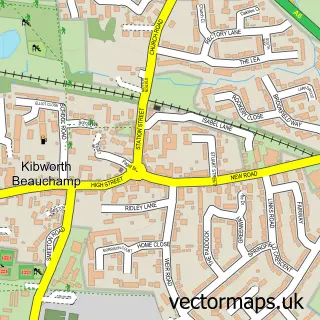
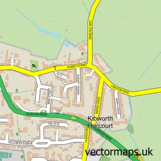
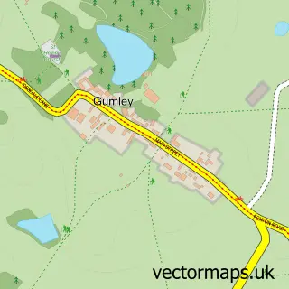
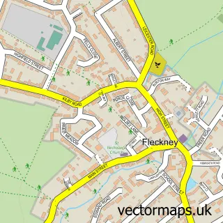
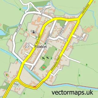
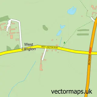
Nearby street map samples around Smeeton Westerby


More street maps in Leicestershire
750 metre map area coverage
Boundary, postcode and point of interest information for the 750m x 750m rectangle centred on this sample map.
Boundaries containing map centre
Constituency: Harborough, Oadby and Wigston Co Const
County: Leicestershire County
District: Harborough District
Icb: NHS Leicester Leicestershire and Rutland ICB
Parish: Smeeton Westerby CP
Police Force: leicestershire
Postcode District: LE8
Postcode Sector: LE8 0
Ward: Kibworths Ward
Nearby boundaries intersecting sample
No additional intersecting boundaries found.
Postcode coverage
POI category counts
Pub: 2
Anglican Church: 1
Event Photography: 1
Financial Service: 1
Funeral Services And Cemeteries: 1
Home Cleaning: 1
Lighting Store: 1
Martial Arts Club: 1
Metal Supplier: 1
Pet Boarding: 1
Sample points of interest
- Smeeton Westerby: Christ Church
- Digital Photography Courses
- Bosworth Accountants
- Jacqui Tillyard Independent Civil Celebrant
- Spencers Window Cleaning
- Instyle Led Ltd.
- Kokoro Karate Dojo
- JPH Steelwork
- Debdale Grange Kennels and Cattery
- Kings head
- The Kings Head Smeeton Westerby
Create a larger editable map of Smeeton Westerby
This sample shows only a 750 metre area. To create a larger map of Smeeton Westerby, use our map builder to choose your own coverage area, add titles and download editable SVG, PDF and PNG files.
Create a custom map of Smeeton Westerby